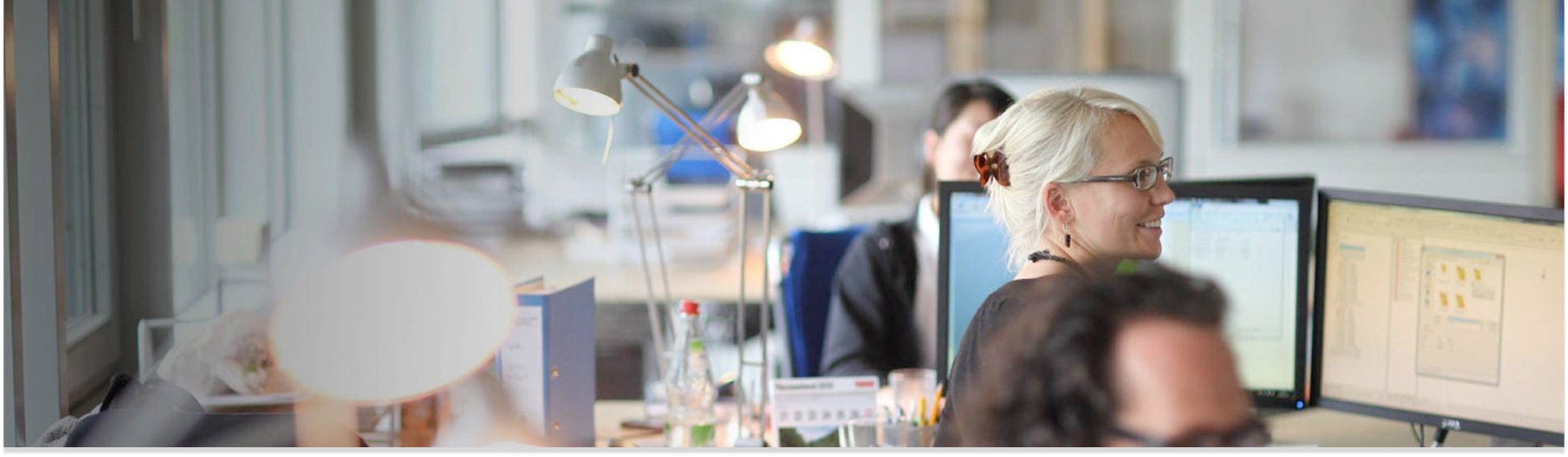
MEET THE TEAM
20 years of expertise has made us one of the leading value-adding companies for earth observation, working to innovate new technology, encourage the spread of information and deliver reliable results for a sustainable tomorrow. Find out why…
WE ARE…
INNOVATIVE
Our team actively contributes to state-of the-art research, advancing a variety of fields from data science to automatic processing chains for upcoming satellites. We invest in progress and incorporate the newest technologies to achieve the best standards possible, meet the highest customer expectations and adapt to current demand.
EXPERIENCED
With 20 years of experience, Remote Sensing Solutions GmbH (RSS) has become one of the leading value adding companies for earth observation in Germany. Our zealous team of experts, all with academic backgrounds, pride themselves with extensive practical and interdisciplinary knowledge.
CONNECTED
Collaboration is key to get fresh insights, to share knowledge, and ultimately benefits everyone involved. That’s why you’ll find us expanding our networks at local fairs and international conferences, or working alongside communities in the field. We constantly foster and extent our network of reliable research and business partners.
THE TEAM
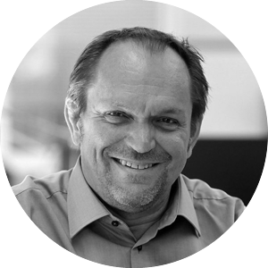
Prof. Dr. FLORIAN SIEGERT
With extensive knowledge in ecology and more than 20 years of remote sensing experience, Florian initiates, designs and manages large international projects. He teaches environmental monitoring at the Ludwig-Maximilians-University.
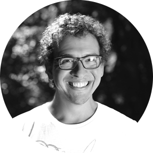
Dr. JONAS FRANKE
Jonas is a geographer whose expertise lies in earth observation and environmental monitoring. He manages international R&D, joint projects, and also advises organizations on conservation, risk assessment and monitoring techniques.
Anna Brand
Anna is a remote sensing and GIS specialist who works on the application of deep learning in environmental and disaster monitoring tasks. She holds a master’s degree in applied geoinformatics from Trier University.
WERNER WIEDEMANN
Werner is specialized in digital image processing for a wide range of satellite instruments, as well as GIS-based landscape analyses and modeling. He studied cartography and geoinformatics in Munich.
Maria Schade
Maria is an environmental engineer experienced in managing local to global projects, convening stakeholders and translating data into actionable information. She has worked with public and private clients in multiple sectors and regions.
Hien Nguyen
Hien is a software engineer with a diverse background in IT, environmental science, and earth observation. His contribution involves automating workflows, streamlining processes, and the development of RSS's cloud applications for earth observation.
Dr. Maximilian Schwarz
Maximilian has a background in geography and climate and environmental sciences. His research focus lies on large scale analyses of environmental related factors that explain the relationships between natural resources and human activities.
Anna Seiche
Clara Siegert
Clara studied geography with focus on remote sensing. She specializes in cloud processing of large image data sets and automatized processing using machine learning algorithms.
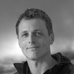
STEFAN KIRMAIER
Stefan is a remote sensing and GIS specialist with a background in geoinformatics. His work deals predominantly with process and workflow automatization, as well as software development.
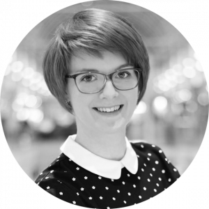
Stephanie Fovenyessy
Stephanie is a cartographer with a background in remote sensing and GIS. She focuses on environmental monitoring and satellite imagery analysis.
Deha Umarhadi

Levente Papp
Levente is a Remote Sensing and GIS specialist. He is an expert in object-based image analysis.
Lukas Aschenbrenner
Lukas is a geographer with focus on forest related topics. He works on the application of deep learning in monitoring tasks.
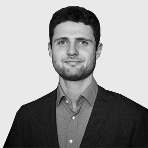
Tobias Beetz
Tobias holds a double degree in computer science and geography. In previous projects he gained a deep understanding of the app development cycle, which he brings to his current role as a full-stack developer.
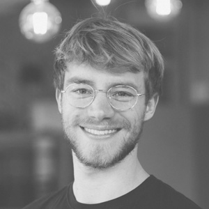
Kevin Kuonath
Kevin is a software developer with a background in machine learning who studied Electrical Engineering at TU Munich. His interest in conservation and environmental monitoring finally led him to apply his skills to the field of remote sensing.
Hannes Flaschenträger
Hannes is a software developer with a strong background in geography. He is specialized in web development and web mapping applications.
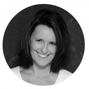
Claudia Roeben
Claudia supports the management with coordination and organizational work
Julison Jubanski
Juilson studied geodesy at the Karlsruhe Institute of Technology (KIT). He is part of the team and specializes in photogrammetric processing and analysis of aerial photographs and LiDAR data.
Marina Fischer
Marina is specialized in Geomatics Engineering. She has a strong background the fields of geodesy and geoinformatics.
OUR CUSTOMERS