
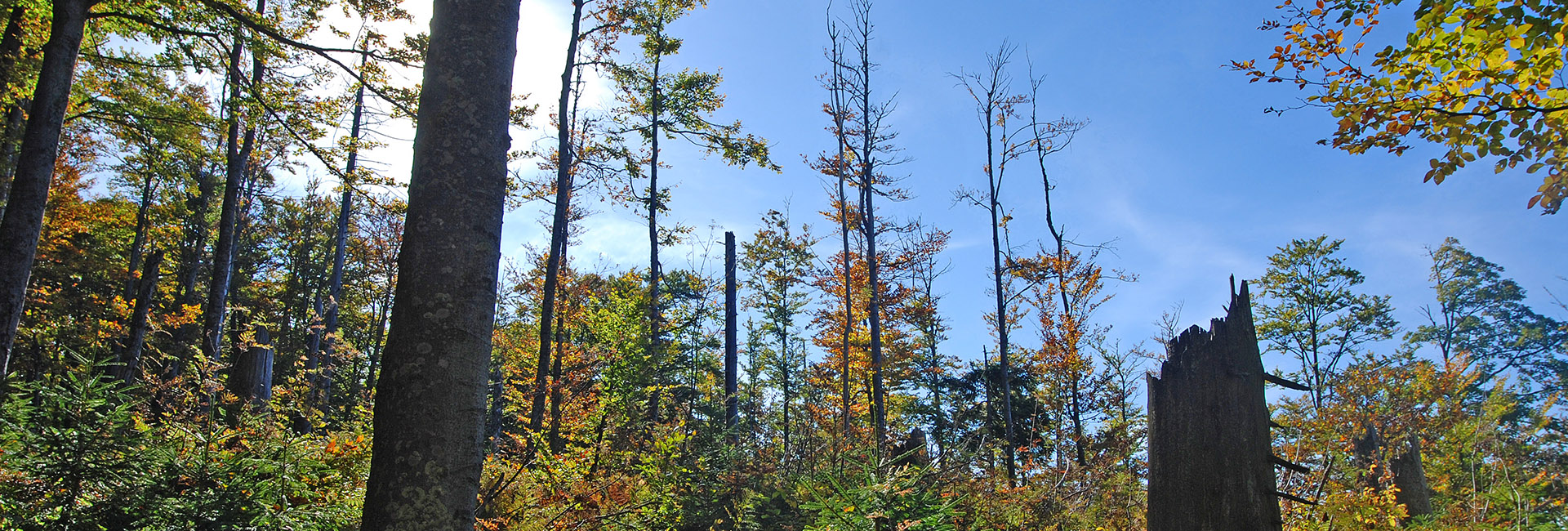
Forest condition
New satellite data show significant forest damage in Germany. Our Forest Monitor Germany shows the condition of the forest, damage statistics for the individual federal states and an AI-based mapping of the main tree species.

Forest monitor Germany
Remote Sensing Solutions GmbH, together with the Naturwald Akademie, has published the first satellite-based forest monitor for Germany online. By analyzing a long Sentinel-2 time series, it was possible to map the development of the forests in the years 2016-2020. The maps and statistics illustrate how much coniferous and deciduous forest the individual federal states have lost in the past dry years.
The range of geodata that we can offer forest owners, municipalities and ministries in this way will be further expanded in order to be able to provide comprehensive information on the state of the forest.

Forest monitor Germany
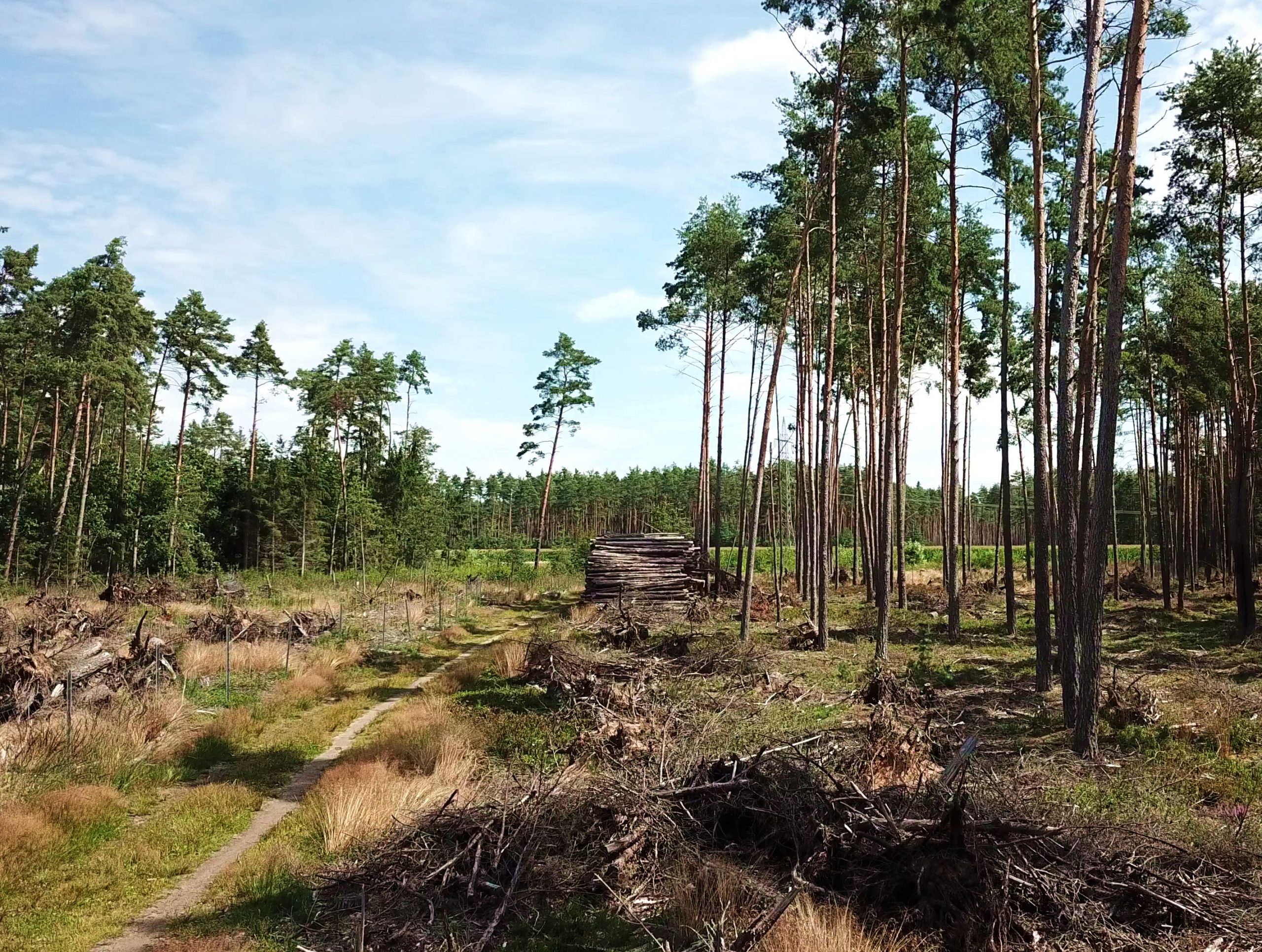
In 2018, 2019 and 2020, large areas of damage occured in German forests. Periods of drought and pests such as the bark beetle have hit conifer monocultures particularly hard. But also fire and the expansion of opencast mining (coal, gravel, sand, etc.) have contributed to forest damage and forest loss. Since the droughts of recent years, the density of bark beetles and other calamity factors differed from region to region, the extent of forest damage varied greatly from region to region.
Remote Sensing Solutions and the Naturwald Akademie wanted to know where and how severe this forest damage is in Germany. A monitoring system based on satellite data was developed for this purpose. With this system, current and continuous information about the state of the forest in Germany can be obtained, in particular in order to document future forest conversion, reforestation activities and the development of the damaged areas using geographic information and to accompany them digitally. This comprehensive information makes it possible for the first time for Germany to analyze the development of the condition of deciduous and coniferous trees in terms of their vitality and water content and thus represents an important gain in information for both forestry practice and science.
Forest monitor Germany
Press coverage


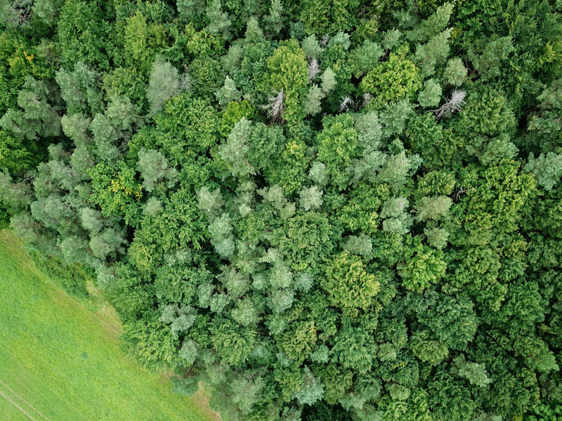
Satellite data
Sentinel-2 data with 10m spatial resolution from the European Copernicus program were used for these analyzes. All Sentinel-2 data from the main growing seasons from 2016–2020 were used. The data from 2016 and 2017 were used as base periods to compare the impact of the drought years 2018–2020 on forest stands. Established vegetation indices were calculated on these time series and a trend analysis was applied in order to depict positive or negative changes in forest stands.
Damage statistics
A quantitative survey shows that 48,165 hectares of the deciduous forest area and 201,741 hectares of the coniferous forest area have been lost in Germany since 2018. There were very large regional differences. North Rhine-Westphalia (10.3%), Saxony-Anhalt (8.2%) and Hesse (8.1%) have suffered the greatest losses of coniferous forest in recent years. These figures refer to the areas with complete loss of forest stands (so-called bald areas). The damaged forest areas (partial damage), as can be seen in the map of the biomass trend, are much larger. The previous validation has also shown that the specified numbers of damaged areas underestimate the actual damage.
AI-based tree species mapping
Different forest types react differently to climate change and require different management and protection measures. The dominant tree species and the distribution of tree communities have so far only been recorded at random sampling points in Germany. By using multi-temporal satellite data, different phenologies of tree species can be derived and the main tree species can be determined using AI methods. For the first time, this data enables a comprehensive recording of the tree population in Germany in order to be able to carry out improved damage analyzes, to support the planning of forest conversion, and to provide geographic information relevant to forestry in practice.

Consulting


When it comes to services, we make quality, technological excellence and customer satisfaction our unvarying priority. To find out more, please select a theme - we look forward to assisting you.
