
ForPeat: Towards sustainable peatland forest management
August 6, 2025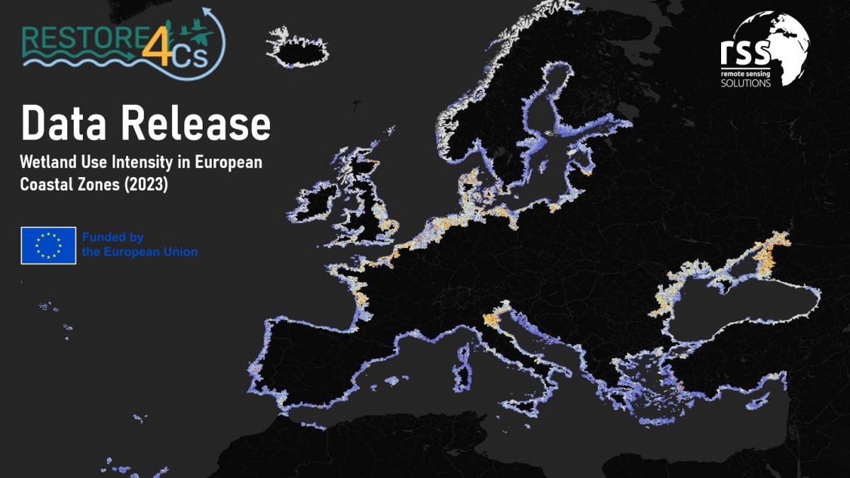
Wetland Use Intensity
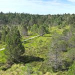
European wetlands are hotspots of biodiversity and act as powerful natural buffers against climate change by sequestering carbon and managing floodwaters. Despite their immense value to both nature and society, these ecosystems have long been subjected to intense pressure from human expansion, particularly through intensive farming and infrastructure development. Until now, tracking the exact scale and intensity of these pressures across diverse wetland ecosystems has been a challenge due to a lack of high resolution and continuous monitoring data. The RESTORE4Cs project addressed this gap by seeking a way to objectively quantify the human footprint on these fragile areas, providing a baseline that can be used to guide future environmental policy and conservation efforts.
New data is now available to help protect and restore some of Europe’s most vital ecosystems
A recently published preprint in Earth System Science Data introduces the Wetland Use Intensity (WUI) dataset, designed to monitor human impact on coastal wetlands across the continent.
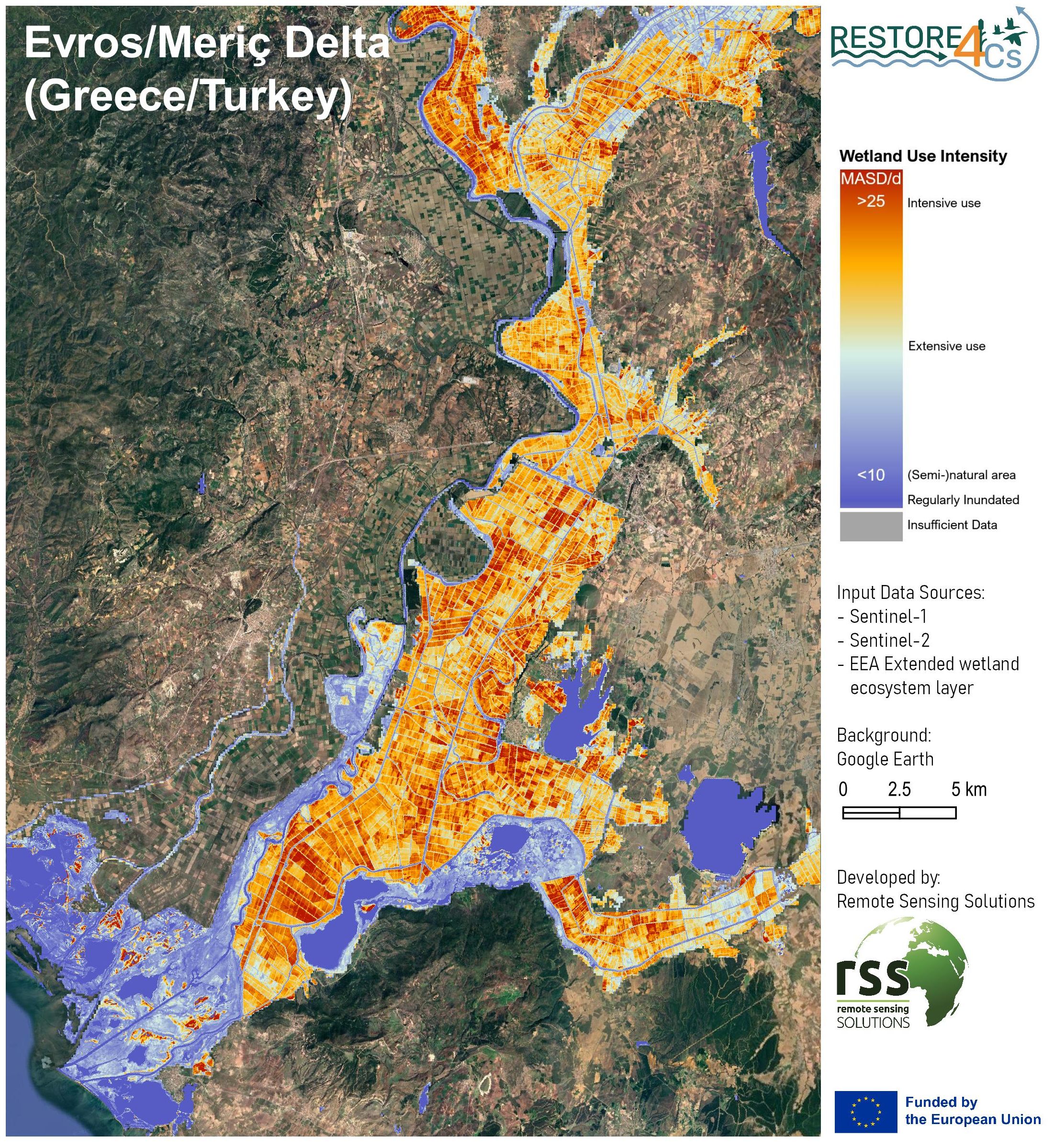
The Wetland Use Intensity (WUI) dataset provides a detailed map of land use intensity within and around European coastal wetlands for the year 2023. Created by Remote Sensing Solutions (RSS), the dataset features a 10-meter spatial resolution, allowing for the identification of even small-scale variations in land management. To achieve this level of detail, the team processed extensive time-series data from the Sentinel-1 and Sentinel-2 satellite missions. The data characterize spatial patterns of human activity, distinguishing between heavily managed agricultural zones and areas that remain relatively undisturbed. The result is a spatial record that highlights exactly where anthropogenic pressures are most concentrated.
Human footprint in wetlands
The primary benefit of the WUI dataset is its ability to transform how we approach wetland restoration and management. By providing a clear picture of land use intensity, the data helps decision-makers identify "priority areas" where restoration efforts would be most effective or where protection is most urgently needed. Furthermore, the dataset serves as a vital resource for meeting Europe's environmental targets, offering concrete indicators for climate mitigation, biodiversity preservation, and sustainable land management. Because the data is standardized and high-resolution, it allows for consistent monitoring across different countries, ensuring that conservation strategies are based on the most accurate and up-to-date evidence available. Ultimately, this approach empowers scientists and policymakers to better balance human needs with the urgent requirement to preserve Europe’s coastal natural heritage.
Read the full paper: https://doi.org/10.5194/essd-2025-793
Download the data on Zenodo: https://doi.org/10.5281/zenodo.17660102
Project Background
This work was funded through the Horizon Europe programme, in the framework of the RESTORE4Cs project (Grant Agreement No. 101056782)
More details: Sustainable management of wetlands: the RESTORE4Cs project
Funding Source
![]()


