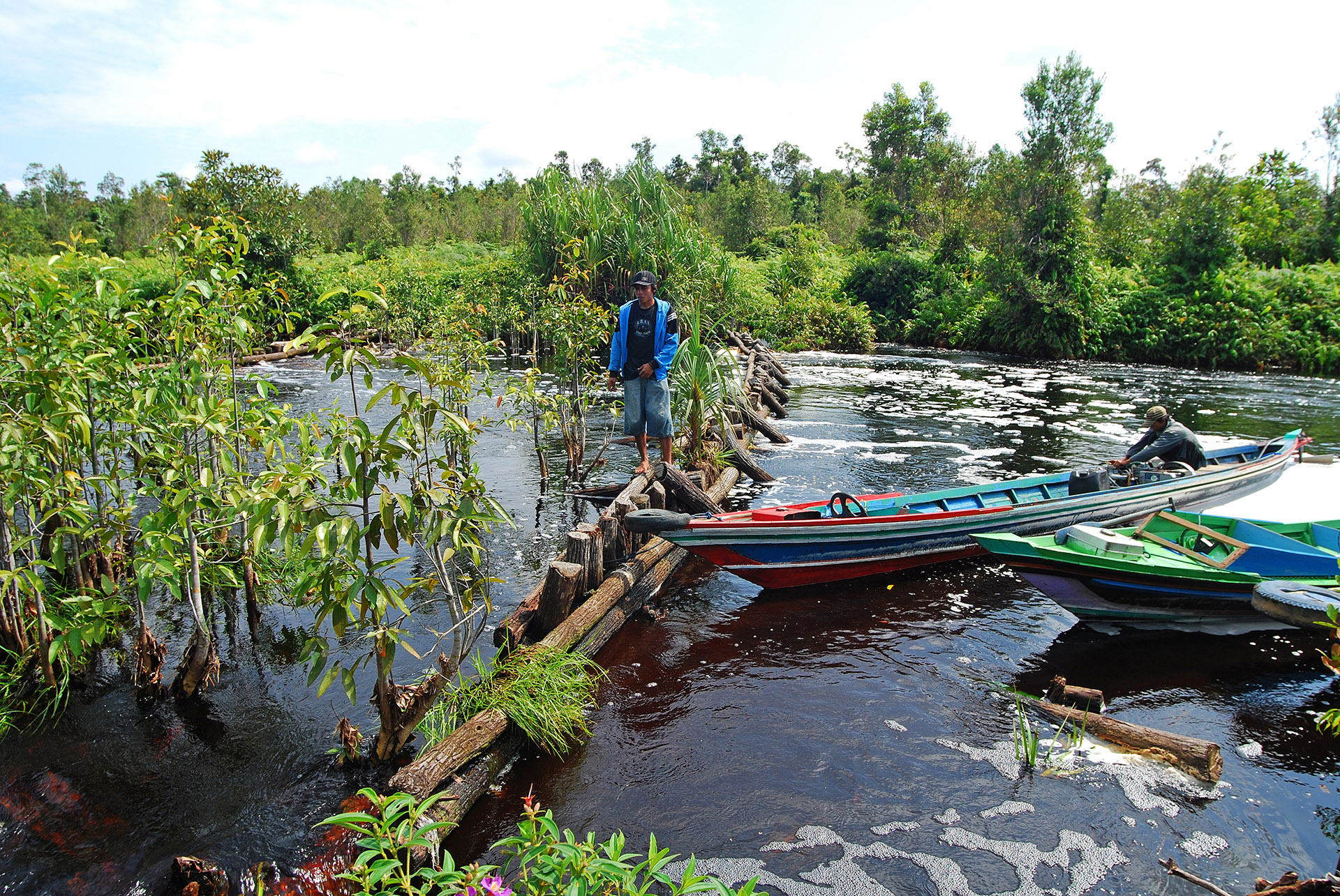
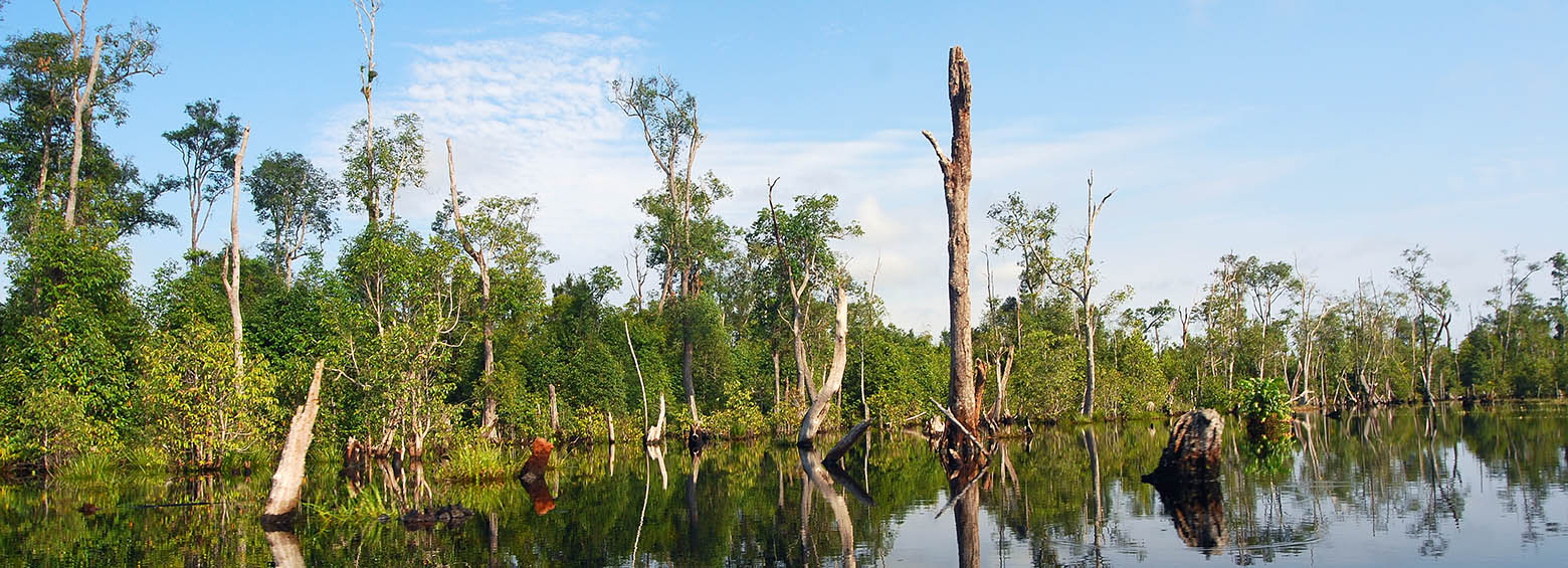
News

March 21, 2019

SWOS policy report available

Enhanced wetland monitoring, assessment and indicators to support European and global environmental policy is the title of the SWOS policy report that identifies the links between the Horizon 2020 Satellite-based Wetland Observation Service (SWOS) project outcomes and existing policy frameworks at European and global levels.
February 5, 2019

SAR-based burned area mapping training in Indonesia

Within the framework of the GIZ's FORCLIME programme, RSS was recently hosting a week-long training on burned area detection using Sentinel-1 satellite data. Over 20 Indonesian officials from MoEF, LAPAN and provincial authorities explored how Sentinel-1 data could be used to complement Landsat-based burned area mapping in Indonesia.