
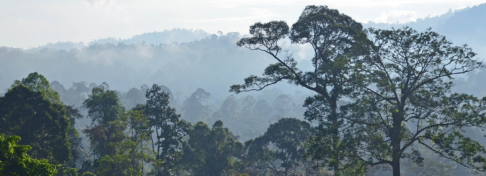
Using InSAR to determine above-ground biomass in tropical forests
March 12, 2018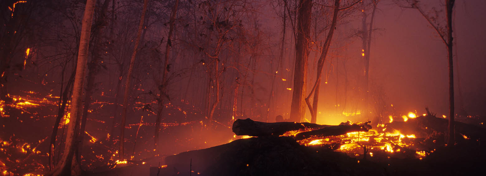
Burned area mapping using Sentinel-1 SAR time series
April 25, 2018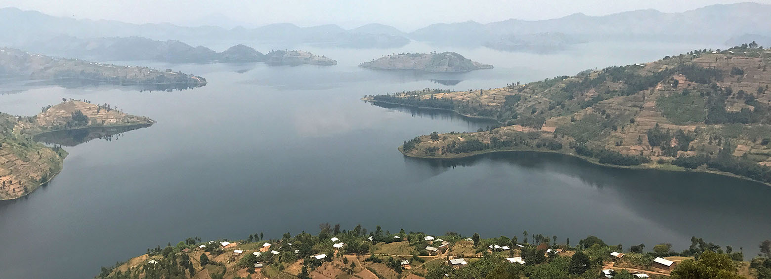
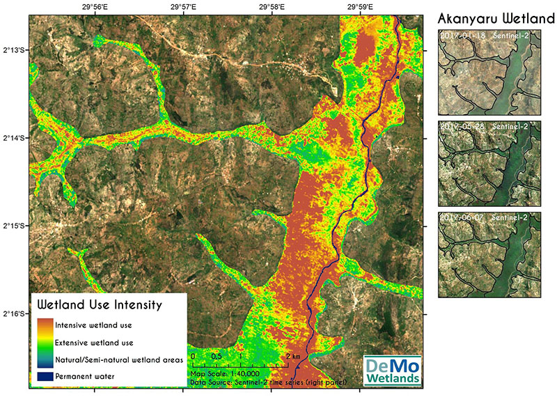
Demo-Wetlands is a research project, designed to explicitly address the need of international conventions such as RAMSAR for standardized methods of wetland monitoring by satellite remote sensing. These fragile ecosystems are facing increasing pressure through global warming, pollution, overuse and land use change. Up to date information on the current condition of wetlands are key to support their protection.
Automated monitoring of tropical wetlands
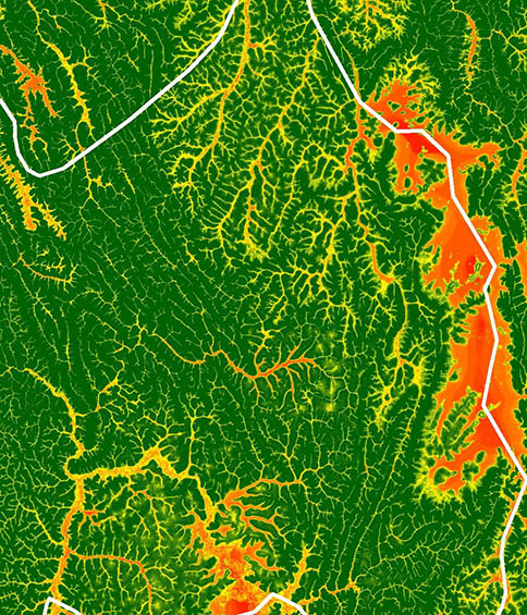
The BMWi funded project, supported by DLR, seeks to develop detection, classification and monitoring methodologies based on the newly available sensors, which are part of the Copernicus program. In five project steps, different sensors shall be used to monitor tropical wetlands in an automated manner: (1) Using Tandem-X data, potential wetlands will be identified based on relief information. (2) Within these areas, wetlands will be mapped with Sentinel data using their phenological characteristics. (3) These wet-lands will be characterized based on Sentinel data. (4) High resolution satellite- and field data will allow a validation, after which (5) the previous steps will be automated.
RSS RESPONSIBILITIES
- Coordination of all partners regarding the timely production of all mapping products
- Development of new processing chains for big data handling for large-scale monitoring
- Feasibility study on remote sensing for wetland characterization using Ramsar, MAES, FAO LCCS, CLC nomenclatures
- LULC change mapping in selected wetlands in Kenya and Jordan
Reporting obligations for environmental policies
SWOS provides wetland practitioners (managers, policy-makers, scientists) with wetland monitoring tools and assists in reporting obligations for environmental policies at different scales. The SWOS service has been demonstrated by producing maps and indicators for several points in time for 50 wetland locations in Europe, Africa and Asia based on freely available satellite images from different sources.
Potential of application
The potential for application of the project results are mainly guaranteed through the close connection of DeMo-Wetlands with international conventions, initiatives and research projects, as well as through the cooperation with national partners in Rwanda. An impact on national level is expected through capacity building and the improved availability of data, for instance through the provision of results (data, information products) to a national data structure. The contributions to the GEO-Wetlands Group as well as the provision of information to the RAMSAR secretariat form essential impact on the international level.
Project partners
For a complete list of the 13 research partners, visit https://www.swos-service.eu/project-consortium/
Funding source
Federal Ministry of Economics and Technology – BMWi via the German Aerospace Center (DLR)


