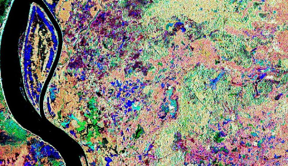
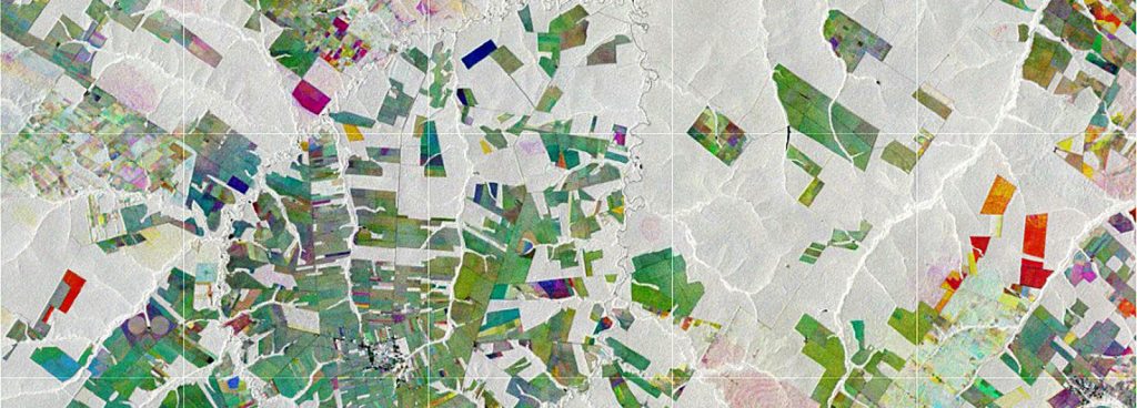
Image source: ESA
INNOVATION
We consider research as a fundamental activity that allows us to offer cutting-edge solutions. We are actively involved in research projects and our team develops new algorithms in data science, efficient, automated services and modern information products that supports positive environmental change.

RESEARCH & DEVELOPMENT
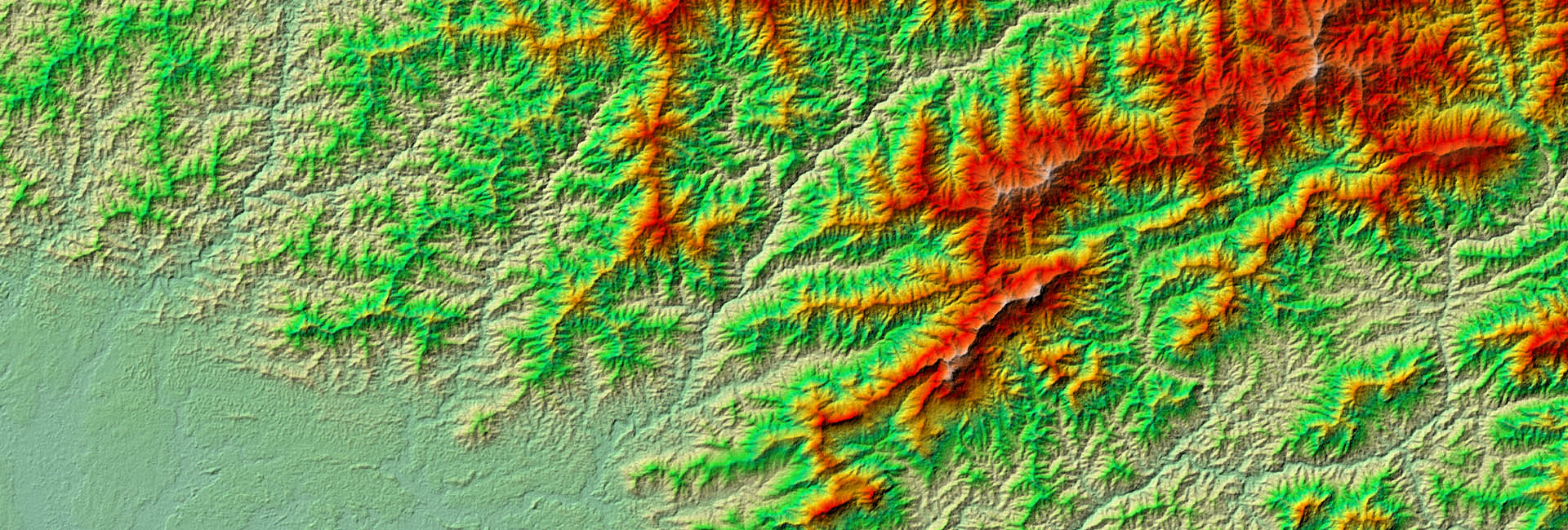
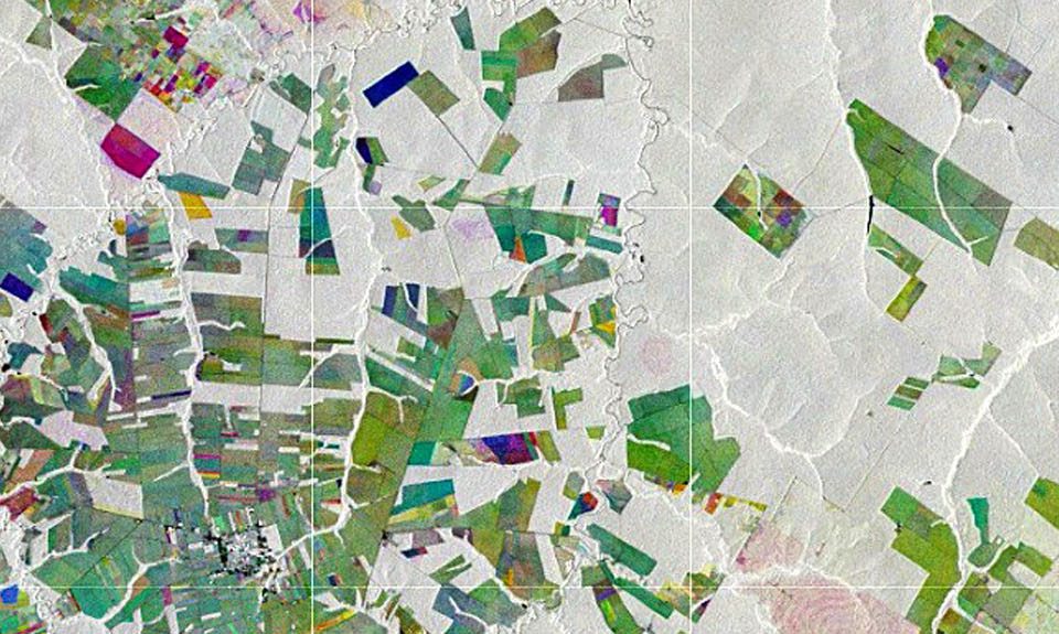
Although RSS is a commercial enterprise, research and innovation is a fundamental part of our work. Satellite technology is evolving rapidly and continuously offers new monitoring capabilities. Through our research activities in cooperation with leading research institutions, we are able to offer innovative mapping and monitoring solutions. We have published more than 150 research papers in renowned scientific journals and led numerous studies concerning the latest satellite instruments.
Featured research projects
RESEARCH TOPICS
ALL RESEARCH
Research
April 12, 2018
Monitoring of tropical Wetlands using Copernicus satellite data
Demo-Wetlands is a research project, designed to explicitly address the need of international conventions for standardized methods of wetland monitoring by satellite remote sensing. As these fragile ecosystems are facing increasing pressure through global warming, pollution, overuse and land use change, up to date information on the state of global wetlands are key to support their protection.read moreResearch
March 12, 2018
Using InSAR to determine above-ground biomass in tropical forests
The international research project Pol-InSAR4AGB focused on the development of algorithms and the creation of process chains for the integrative use of multi-sensor X- and C-band SAR data using Pol-InSAR techniques for the determination of forest height and above-ground biomass in tropical forests.read moreResearch
February 15, 2018
Mapping global forest biomass using satellite imagery
Biomass is a fundamental biophysical variable that quantifies the Earth’s living vegetation. It has profound social and economic importance as a source of materials and energy, and its state, dynamics and resilience have impacts on the whole Earth system. The main purpose of the GlobBiomass project was to better characterize and to reduce uncertainties of above ground biomass estimates.read moreResearch
February 3, 2018
Indonesian Peat Prize competition – a new method to map tropical peatlands
We are very pleased to announce that RSS, as lead of the International Peat Mapping Team, won the 1 Million USD Indonesian Peat Prize challenge! The competition aimed to find a new, more accurate and efficient way of mapping tropical peatland extent and thickness.read moreResearch
January 6, 2018
Mapping soil organic carbon (SOC) stock
The research project SOCmonit focuses on development of methods to standardize the spatio-temporal monitoring of soil organic carbon (SOC) within long-term field experiment (LTFE) sites using spectral measurements from remote sensing and proximal soil detection.read moreResearch
December 12, 2017
Earth Observation and Satellite Navigation for tourism
CapeOutdoors3D prototyped a web application for tourists planning outdoor activities in Nature Reserves and National Parks in South Africa. The project linked the space technologies Earth Observation and GPS Satellite Navigation with the aim to provide a 3D virtual reality planning and navigation tool for tourists.read moreResearch
November 6, 2017
Multi-Spectral- and 3D-Monitoring of Vegetation by UAVs
Objective of this EUROSTARS research project is the development and evaluation of a multi-spectral measurement device for improved monitoring of vegetation by drones. Application fields are forest inventories and the monitoring of large agricultural production areas.read moreResearch
October 14, 2017
Satellite-based Wetland Observation System (SWOS)
Enhanced wetland monitoring, assessment and indicators to support European and global environmental policy is the title of the SWOS policy report that identifies the links between the Horizon 2020 Satellite-based Wetland Observation Service (SWOS) project outcomes and existing policy frameworks at European and global levels.read moreResearch
March 17, 2017
Spatial decision support for a sustainable and efficient energy transition
Energy transition is governed at European and national scale, leading to laws and regulations such as the German EEG. Regional administrations are often not aware of the full potential and limitations to produce renewable energies. In the research project COP4EE-2 RSS uses satellite imagery to determine the potential for renewable energies on a district level.read more
FOLLOW US


