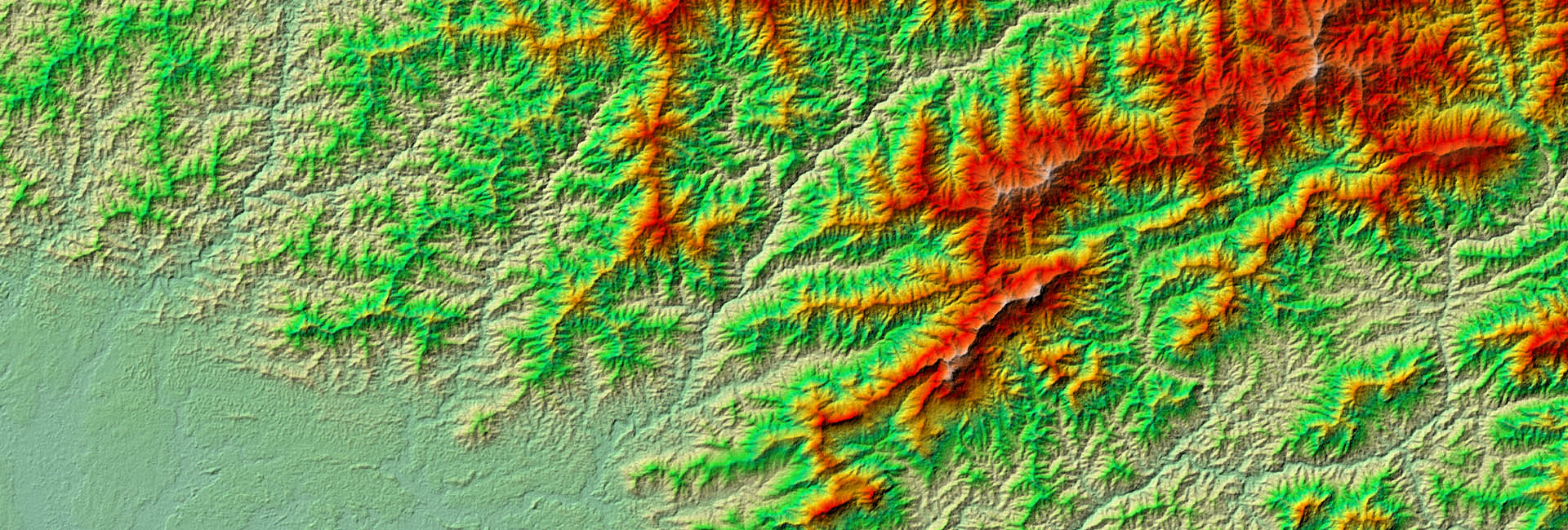
Bildquelle: ESA
Innovation
Wir betrachten die Forschung als eine grundlegende Tätigkeit, die es uns ermöglicht, innovative Lösungen anzubieten. Wir sind aktiv an Forschungsprojekten beteiligt und unser Team entwickelt neue Algorithmen der Datenverarbeitung, effiziente, automatisierte Dienste und moderne Informationsprodukte, die einen positiven Umweltwandel unterstützen.

FORSCHUNG & ENTWICKLUNG
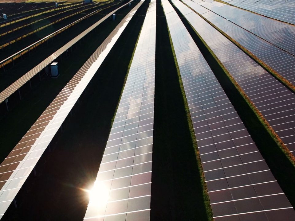
Obwohl RSS ein kommerzielles Unternehmen ist, sind Forschung und Innovation ein wesentlicher Bestandteil unserer Arbeit. Die Satellitentechnologie entwickelt sich rasant und bietet ständig neue Monitoringmöglichkeiten. Durch unsere Forschungsaktivitäten in Zusammenarbeit mit führenden Forschungseinrichtungen, sind wir in der Lage, innovative Kartierungs- und Monitoring-Lösungen anzubieten. Wir haben mehr als 150 Forschungsarbeiten in renommierten Fachzeitschriften veröffentlicht und zahlreiche Studien zu den neuesten Satelliteninstrumenten durchgeführt.
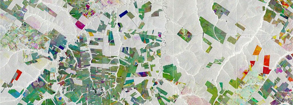
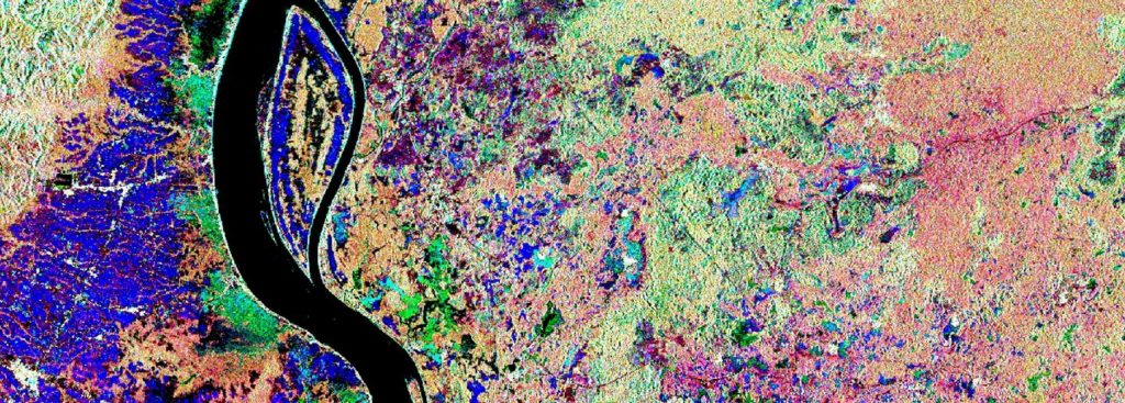
Ausgewählte Forschungsprojekte
THEMEN
GESAMTE FORSCHUNG
ENVIRONMENTAL MONITORING
Februar 10, 2022
Cloudbasierter COP4EE-Energieplaner online
Cloudbasierter COP4EE-Energieplaner onlineread moreNews
Oktober 19, 2021
New publication on biodiversity loss on tropical islands
New publication on biodiversity loss on tropical islandsread moreENVIRONMENTAL MONITORING
September 8, 2021
Erster Satelliten-basierter Waldmonitor für Deutschland veröffentlicht
Erster Satelliten-basierter Waldmonitor für Deutschland veröffentlichtread moreNews
August 5, 2020
ESA selected RSS’ marine plastic idea on the Open Space Innovation Platform and kicked-off an Early Technology Development project
Last year, ESA asked via the Open Space Innovation Platform for innovative ideas to detect and track marine plastic litter using satellites. Marine litter is one of the most pressing environmental problems and tackling the issue is gaining momentum at all levels, from political bodies to forward-thinking companies. „Following the promising results of previous ESA ...read moreNews
Juli 22, 2020
New publication on SDG reporting in Remote Sensing of Environment
Wetland extent tools for SDG 6.6.1 reporting from the Satellite-based Wetland Observation Serviceread moreNews
Juni 5, 2020
Two new publications on food security in Africa
Two new publications on food security in Africaread moreENVIRONMENTAL MONITORING
März 31, 2020
New Striga weed mapping mechanism developed for Africa
In collaboration with the International Centre of Insect Physiology and Ecology (icipe) in Nairobi (Kenya) and within a BIOVISION funded project, RSS has developed a satellite-based mechanism and data set on Striga weed (Striga asiatica) spread in Zimbabwe. The damage caused annually by Striga in Sub-Saharan Africa is estimated at US$ 1 billion, affecting the ...read moreENVIRONMENTAL MONITORING
Januar 10, 2020
New, spatially transferable method to map drought using remote sensing
RSS published a spatially explicit and transferable approach to mapping drought with remote sensing this month. All the model’s input variables are available at no cost and at a global extent, making it transferable to any area of interest on the planet with comparable results. The paper describes how our method was run and calibrated ...read moreResearch
September 22, 2019
Bewertung der Auswirkungen von Maßnahmen im Bereich Payment for Ecosystem Services
Das IMPACTED-Projekt zielt darauf ab, zu verstehen, wie agroforstliche Systeme Kohlenstoffvorräte binden. Projektbezogene Agroforstflächen wurden im Rahmen eines Projektanreizprogramms Payments for Ecosystem Services (PES) in der Provinz Sofala in Mosambik eingerichtet. Die PES ist eine Strategie zum Aufbau von Vermögenswerten für den Landschaftsschutz und die Bekämpfung des Klimawandels, die zunehmend als praktikable Landnutzungsoption im ländlichen Afrika angesehen wird.read more
FOLLOW US


