
NEWS
Lesen Sie hier mehr über aktuelle Projekte und Forschungsergebnisse, Konferenzbeiträge und wissenschaftliche Publikationen.


ALLE NEWS
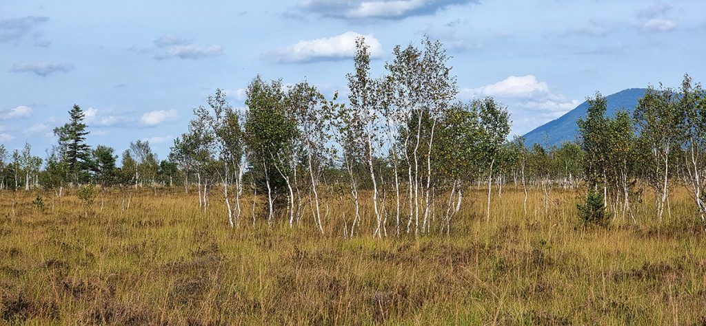
August 6, 2025
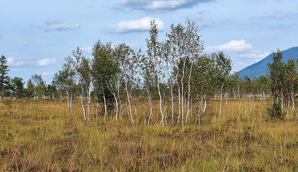
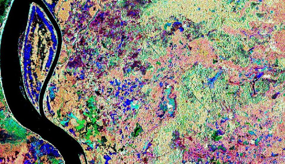
ForPeat ebnet den Weg für eine verbesserte und nachhaltige Bewirtschaftung von Moorwäldern in Europa und etabliert robuste und transparente Monitoringsysteme für Management und Renaturierung dieser sensiblen Ökosysteme.
August 4, 2025
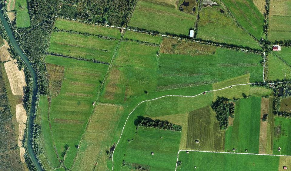
Ein neues Verfahren für das Waldmonitoring in Deutschland und Europa, das Biodiversitätsindikatoren, Kohlenstoffspeicher und Kühlungspotenziale von Wäldern berücksichtigt.
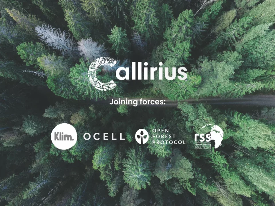
März 2, 2023
RSS has partnered with Callirius AG and other innovative ventures such as OCELL, Klim GmbH, and Open Forest Protocol to implement cutting-edge digital measurement, reporting, and […]
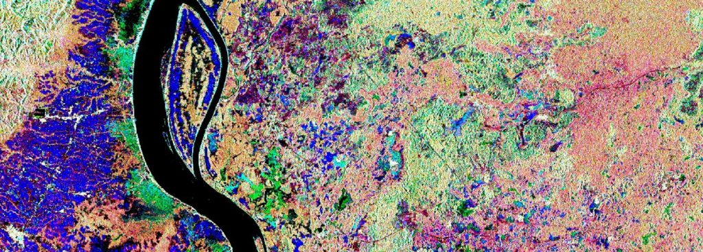
Februar 22, 2023
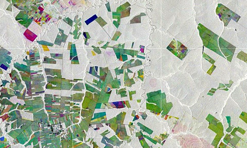
Das Bundesministerium für Wirtschaft und Klimaschutz (BMWK) fördert ein neues Forschungsprojekt mit dem Titel Dense Satellite Time Series for Forest Monitoring (DESTSAM).
Februar 21, 2023
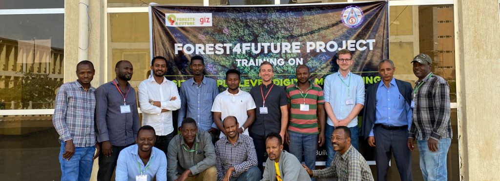
August 15, 2022
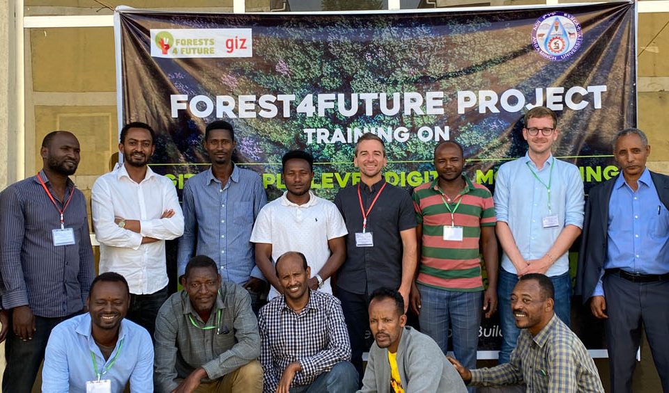
Im Rahmen des von der GIZ (Deutschen Gesellschaft für Internationale Zusammenarbeit) finanzierten Projekts Forests4Future entwickeln wir in Zusammenarbeit mit DFS (Deutsche Forst Service) ein „Triple Level […]
April 30, 2022
In the Association of South East Asian Nations (ASEAN) region peatlands cover approximately 23,6 million hectares, representing 56% of global tropical peatlands. However, their exact extent […]
März 31, 2022
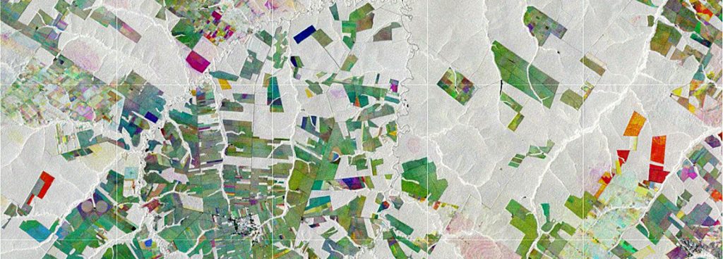
Im EUREKA EUROSTARS Forschungsprojekt MuSe3D entwickelten wir in Zusammenarbeit mit vier weiteren europäischen Partnern eine Fünf-Band-Multispektralkamera für den Einsatz an konventionellen Drohnen. Diese überzeugt – verglichen […]
Februar 10, 2022
August 6, 2025
ForPeat ebnet den Weg für eine verbesserte und nachhaltige Bewirtschaftung von Moorwäldern in Europa und etabliert robuste und transparente Monitoringsysteme für Management und Renaturierung dieser sensiblen Ökosysteme.
August 4, 2025
Ein neues Verfahren für das Waldmonitoring in Deutschland und Europa, das Biodiversitätsindikatoren, Kohlenstoffspeicher und Kühlungspotenziale von Wäldern berücksichtigt.
März 2, 2023
RSS has partnered with Callirius AG and other innovative ventures such as OCELL, Klim GmbH, and Open Forest Protocol to implement cutting-edge digital measurement, reporting, and […]
Februar 22, 2023
Das Bundesministerium für Wirtschaft und Klimaschutz (BMWK) fördert ein neues Forschungsprojekt mit dem Titel Dense Satellite Time Series for Forest Monitoring (DESTSAM).
Februar 21, 2023
August 15, 2022
Im Rahmen des von der GIZ (Deutschen Gesellschaft für Internationale Zusammenarbeit) finanzierten Projekts Forests4Future entwickeln wir in Zusammenarbeit mit DFS (Deutsche Forst Service) ein „Triple Level […]
April 30, 2022
In the Association of South East Asian Nations (ASEAN) region peatlands cover approximately 23,6 million hectares, representing 56% of global tropical peatlands. However, their exact extent […]
März 31, 2022
Im EUREKA EUROSTARS Forschungsprojekt MuSe3D entwickelten wir in Zusammenarbeit mit vier weiteren europäischen Partnern eine Fünf-Band-Multispektralkamera für den Einsatz an konventionellen Drohnen. Diese überzeugt – verglichen […]
Februar 10, 2022
