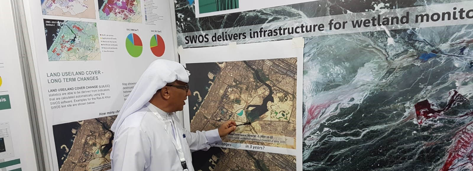
Meet RSS at the 13th Meeting of the Conference of the Contracting Parties to the Ramsar Convention on Wetlands (COP13) which will be held in Dubai, the United Arab Emirates, from 21 to 29 October 2018.
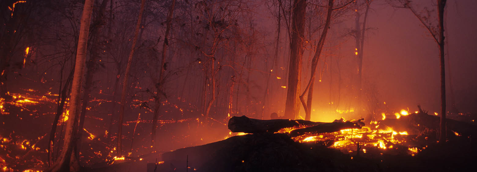
The ESA Fire CCI project focuses on the development of long time series of burned area constructed from multi sensor satellite data. It is part of the Climate Change Initiative (CCI) of the European Space Agency (ESA). As a project partner, RSS produced the first spatial estimates of burned area for the fire prone year 2015 using on high-resolution Sentinel-1 SAR imagery.
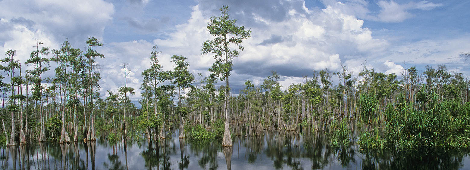
Today, on the World’s Wetlands Day, Indonesia’s Geospatial Information Agency (BIG) announced that the International Peat Mapping Team, led by Remote Sensing Solutions GmbH (RSS), is the winner of the USD $1 million Indonesian Peat Prize.
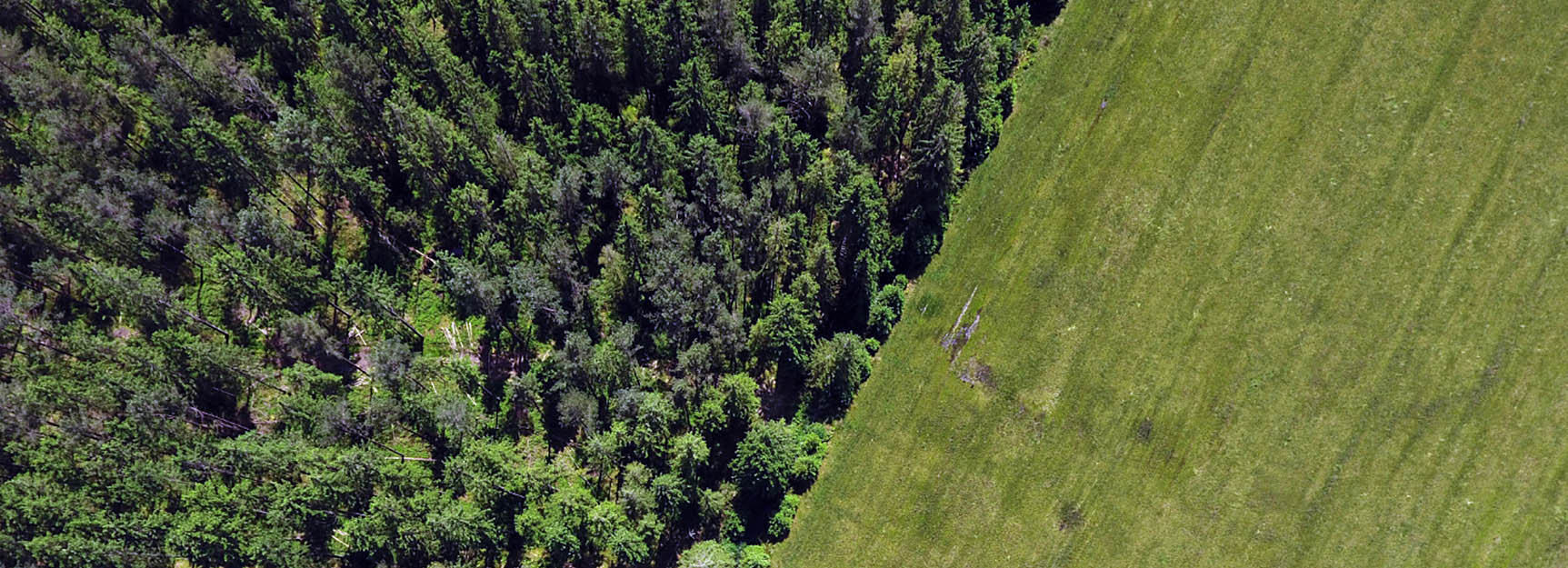
Objective of this EUROSTARS research project is the development and evaluation of a multi-spectral measurement device for improved monitoring of vegetation by drones. Application fields are forest inventories and the monitoring of large agricultural production areas.
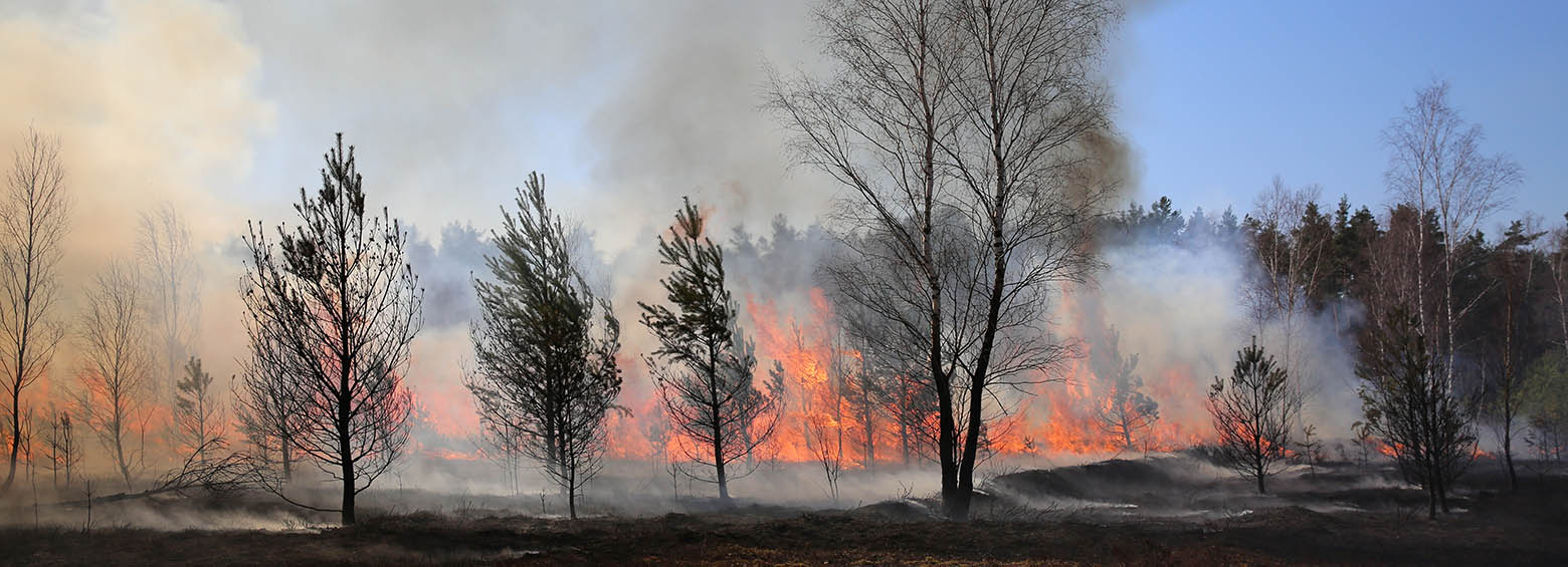
The multilateral research project FireSense aims at developing an improved fire information system to support environmental agencies and fire fighting. It includes early detection of active fires, assessment of vegetation and peat fires by thermal infrared satellites, derivation of trace gas and aerosol emissions and the mapping of burned areas.
This website uses cookies to improve your experience. We'll assume you're ok with this, but you can opt-out if you wish. Cookie settingsOK
Privacy & Cookies Policy
Privacy Overview
This website uses cookies to improve your experience while you navigate through the website. Out of these cookies, the cookies that are categorized as necessary are stored on your browser as they are essential for the working of basic functionalities of the website. We also use third-party cookies that help us analyze and understand how you use this website. These cookies will be stored in your browser only with your consent. You also have the option to opt-out of these cookies. But opting out of some of these cookies may have an effect on your browsing experience.
Necessary cookies are absolutely essential for the website to function properly. This category only includes cookies that ensures basic functionalities and security features of the website. These cookies do not store any personal information.
Any cookies that may not be particularly necessary for the website to function and is used specifically to collect user personal data via analytics, ads, other embedded contents are termed as non-necessary cookies. It is mandatory to procure user consent prior to running these cookies on your website.