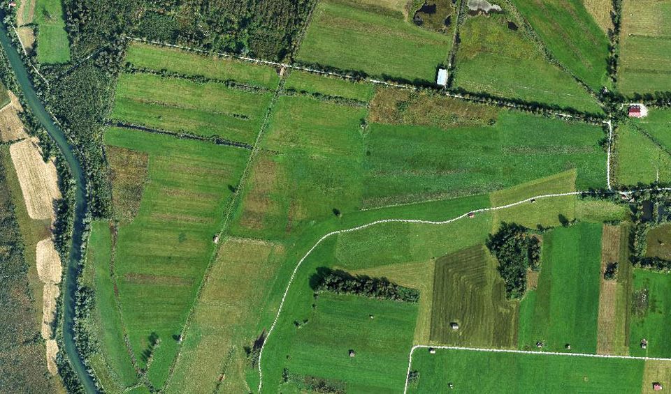
In the EUREKA EUROSTARS research project MuSe3D we developed together with four other European partners a five-band multispectral camera for use on conventional drones. Compared to […]
RSS recently published a study focusing on the identification of ombrogenous peat domes. In this study an approach to model the surface of convex shaped peat domes in Indonesia using freely available satellite LiDAR data from ICESat-2/ATLAS, which was launched in 2018, was developed.
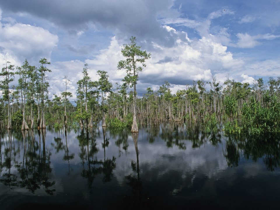
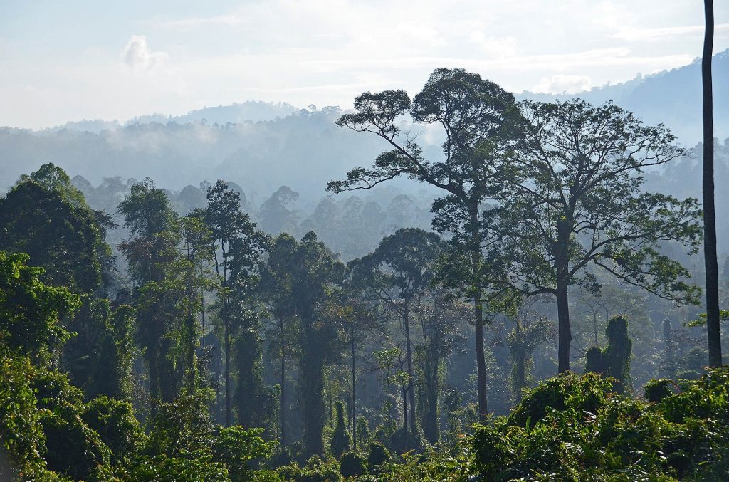
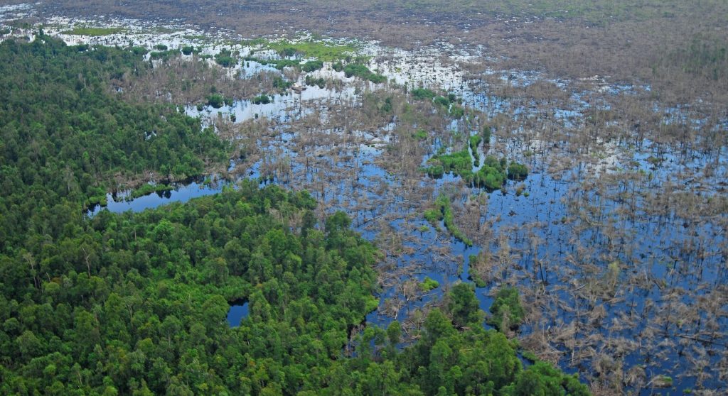
Recently RSS completed an extensive peatland survey in Indonesia: 15 million hectares of peatland across Sumatra, Kalimantan, and Papua were mapped for the Indonesian Peat Restoration Agency (BRG) based on historic and recent satellite imagery as well as topographic data in combination with field measurements of peat depth.
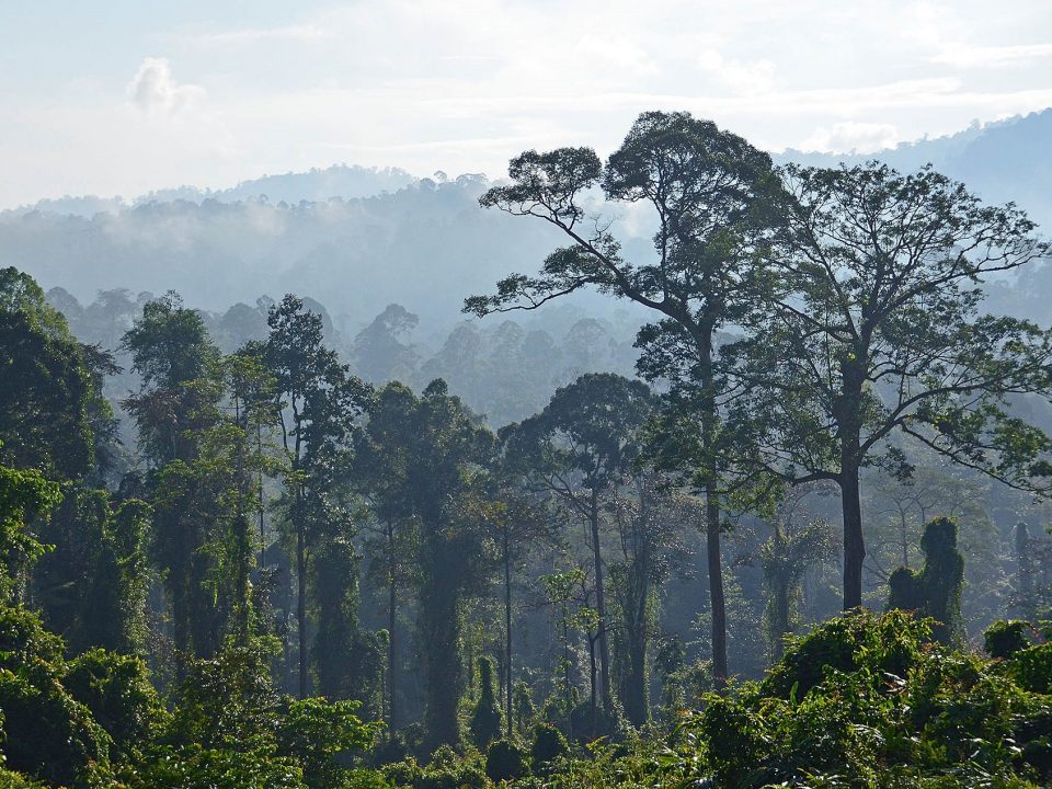
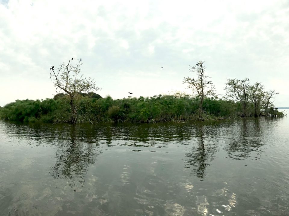
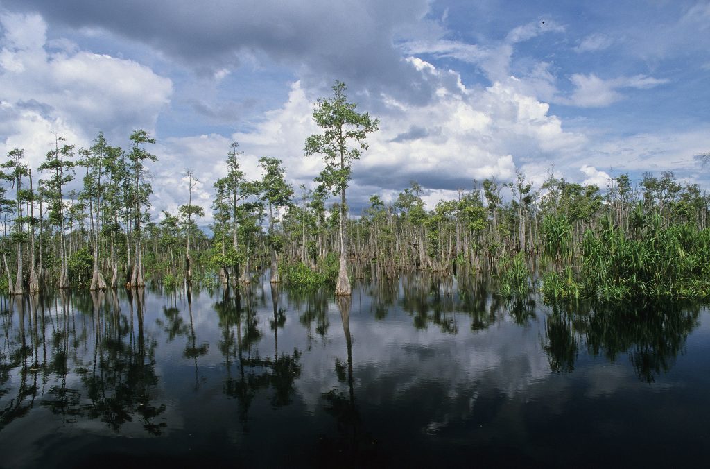
Indonesia hosts the largest tropical peatland areas worldwide. These landscapes represent huge carbon sinks, formed over the last 15.000 years from deposited plant remains, which accumulate […]
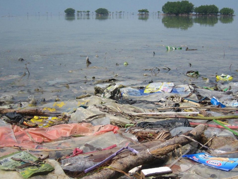
Last year, ESA asked via the Open Space Innovation Platform for innovative ideas to detect and track marine plastic litter using satellites. Marine litter is one […]
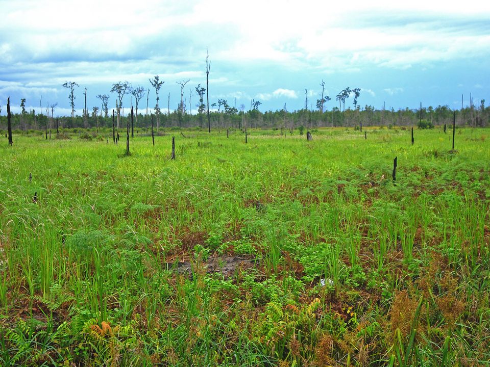
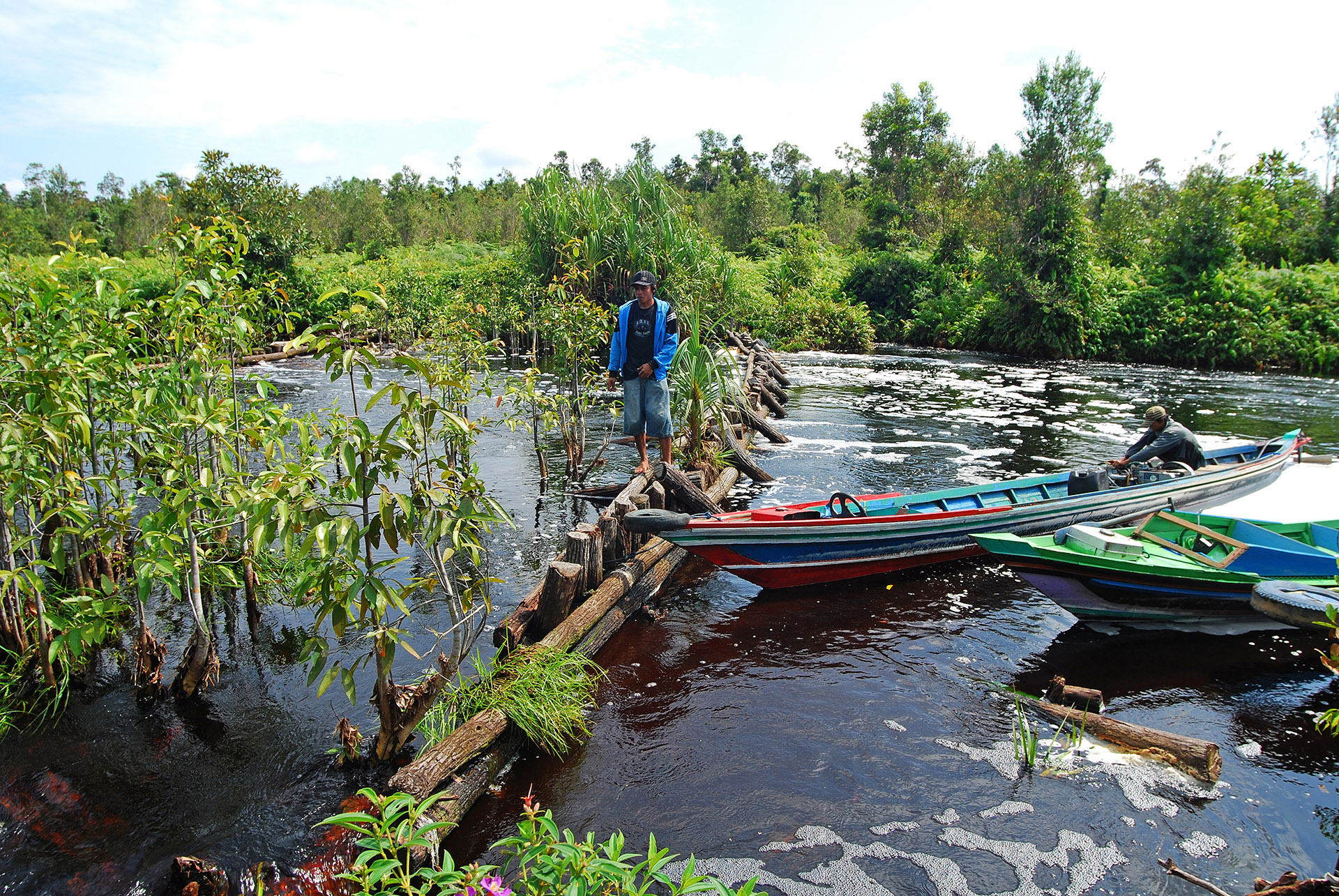
RSS contributed to the Krombacher Climate Protection Project by determining the specific CO₂ emission savings achieved by the peat rewetting activities which were implemented by the WWF in the Sebangau National Park in Borneo, Indonesia.
This website uses cookies to improve your experience. We'll assume you're ok with this, but you can opt-out if you wish. Cookie settingsOK
Privacy & Cookies Policy
Privacy Overview
This website uses cookies to improve your experience while you navigate through the website. Out of these cookies, the cookies that are categorized as necessary are stored on your browser as they are essential for the working of basic functionalities of the website. We also use third-party cookies that help us analyze and understand how you use this website. These cookies will be stored in your browser only with your consent. You also have the option to opt-out of these cookies. But opting out of some of these cookies may have an effect on your browsing experience.
Necessary cookies are absolutely essential for the website to function properly. This category only includes cookies that ensures basic functionalities and security features of the website. These cookies do not store any personal information.
Any cookies that may not be particularly necessary for the website to function and is used specifically to collect user personal data via analytics, ads, other embedded contents are termed as non-necessary cookies. It is mandatory to procure user consent prior to running these cookies on your website.


