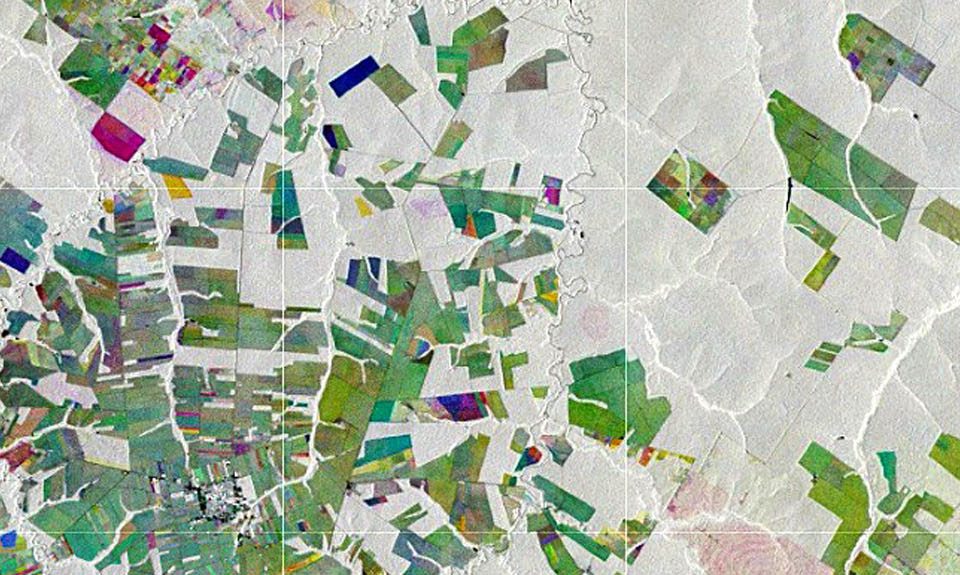
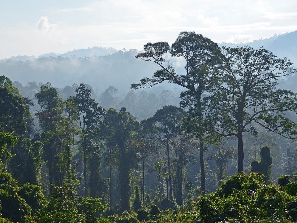
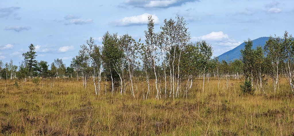
Ein neues Verfahren für das Waldmonitoring in Deutschland und Europa, das Biodiversitätsindikatoren, Kohlenstoffspeicher und Kühlungspotenziale von Wäldern berücksichtigt.
Das Bundesministerium für Wirtschaft und Klimaschutz (BMWK) fördert ein neues Forschungsprojekt mit dem Titel Dense Satellite Time Series for Forest Monitoring (DESTSAM).
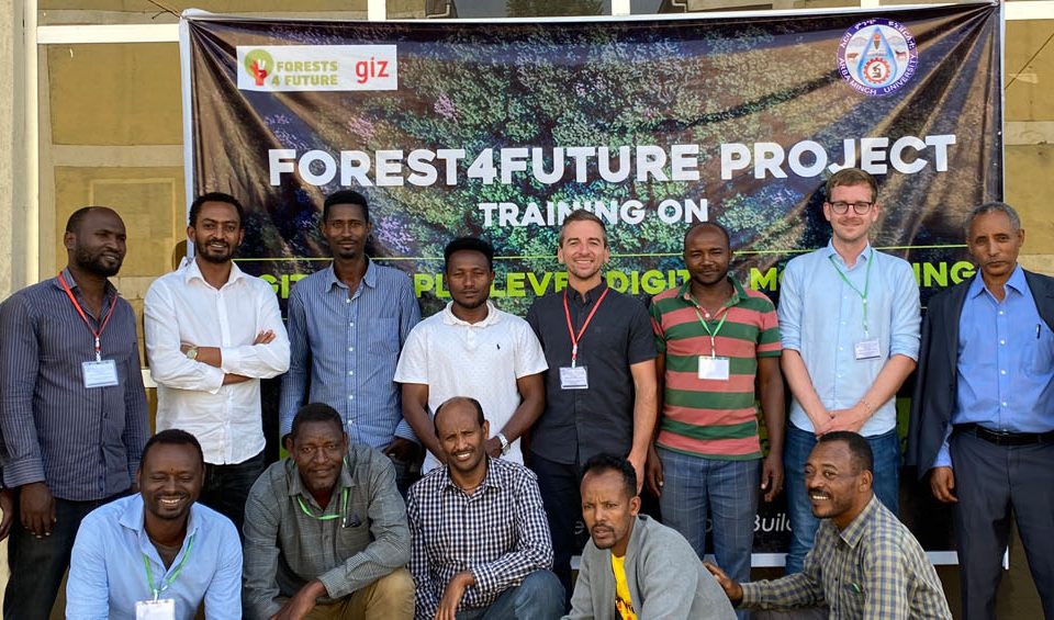
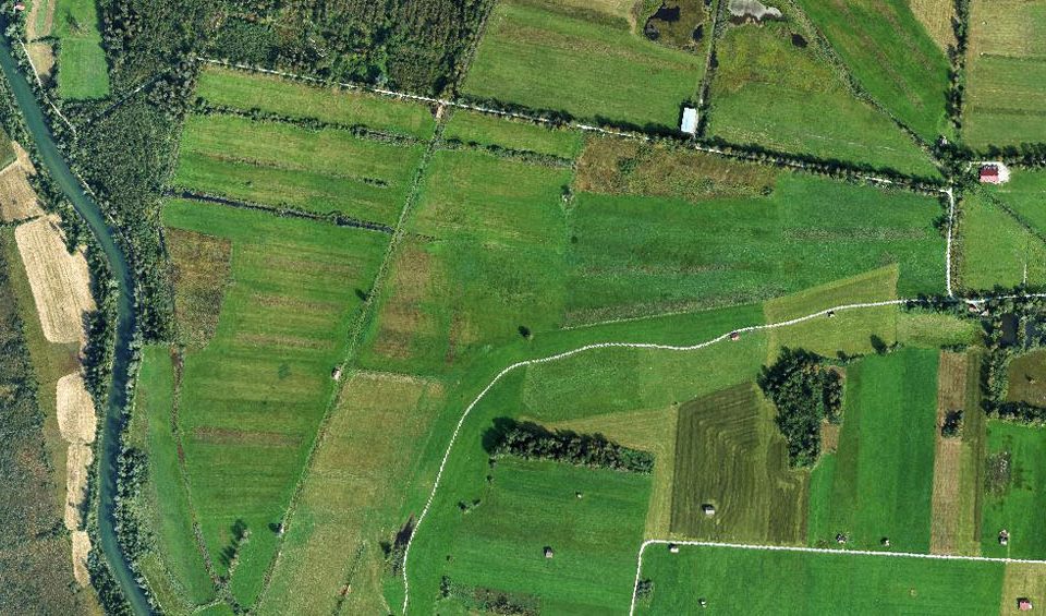
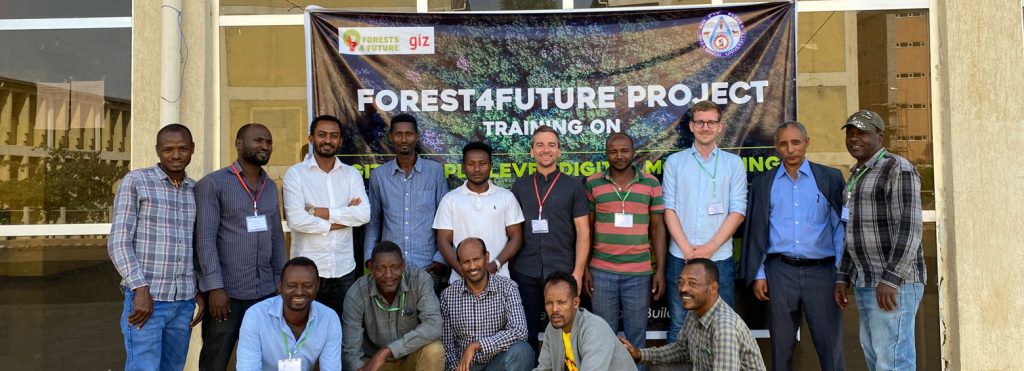
Im Rahmen des von der GIZ (Deutschen Gesellschaft für Internationale Zusammenarbeit) finanzierten Projekts Forests4Future entwickeln wir in Zusammenarbeit mit DFS (Deutsche Forst Service) ein „Triple Level […]
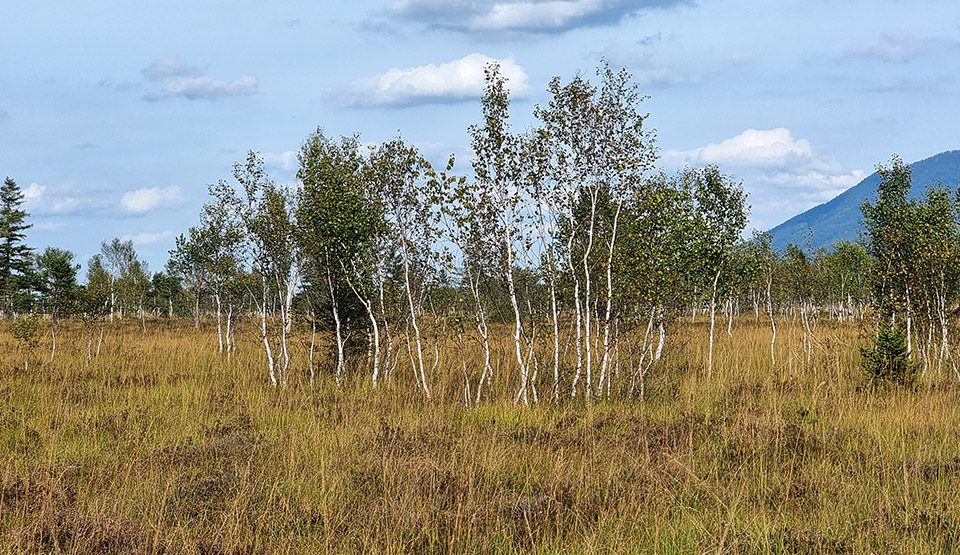
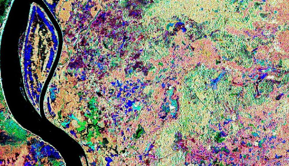
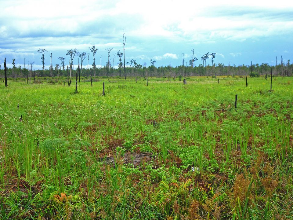
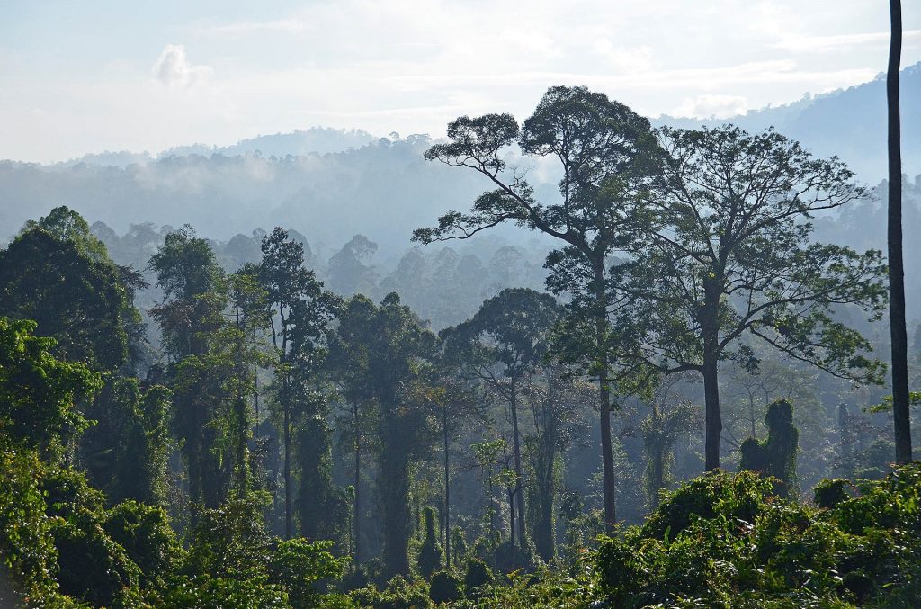
In the Association of South East Asian Nations (ASEAN) region peatlands cover approximately 23,6 million hectares, representing 56% of global tropical peatlands. However, their exact extent […]
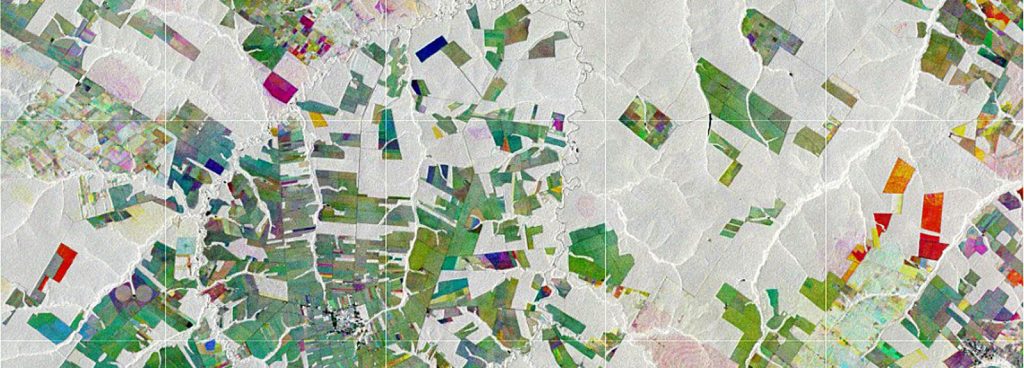
Im EUREKA EUROSTARS Forschungsprojekt MuSe3D entwickelten wir in Zusammenarbeit mit vier weiteren europäischen Partnern eine Fünf-Band-Multispektralkamera für den Einsatz an konventionellen Drohnen. Diese überzeugt – verglichen […]
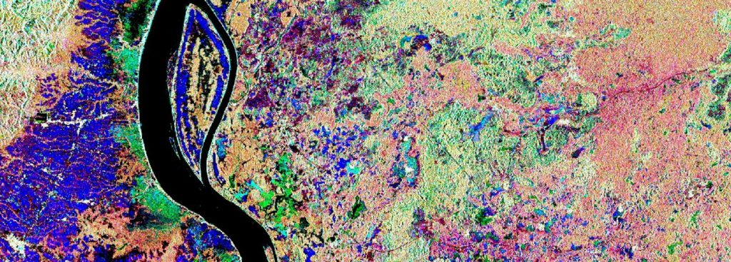
RSS recently published a study focusing on the identification of ombrogenous peat domes. In this study an approach to model the surface of convex shaped peat […]
Wir verwenden Cookies, um Ihnen auf unserer Website die beste Nutzererfahrung zu bieten. Wenn Sie diese Website weiterhin nutzen, gehen wir davon aus, dass Sie damit einverstanden sind. Cookie EinstellungenOK
Datenschutz & Cookie-Richtlinien
Privacy Overview
This website uses cookies to improve your experience while you navigate through the website. Out of these cookies, the cookies that are categorized as necessary are stored on your browser as they are essential for the working of basic functionalities of the website. We also use third-party cookies that help us analyze and understand how you use this website. These cookies will be stored in your browser only with your consent. You also have the option to opt-out of these cookies. But opting out of some of these cookies may have an effect on your browsing experience.
Necessary cookies are absolutely essential for the website to function properly. This category only includes cookies that ensures basic functionalities and security features of the website. These cookies do not store any personal information.
Any cookies that may not be particularly necessary for the website to function and is used specifically to collect user personal data via analytics, ads, other embedded contents are termed as non-necessary cookies. It is mandatory to procure user consent prior to running these cookies on your website.


