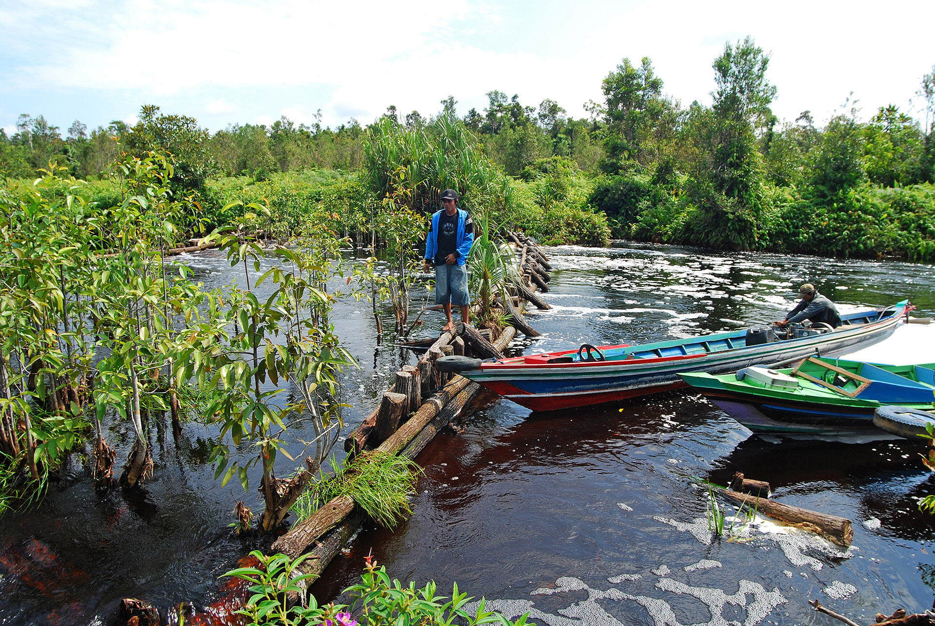
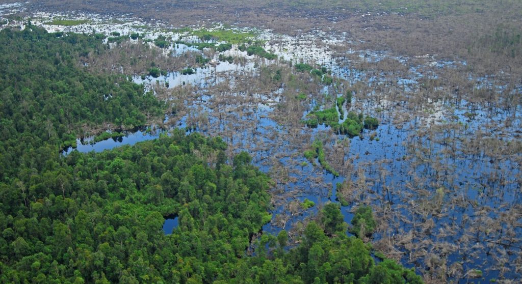
Recently RSS completed an extensive peatland survey in Indonesia: 15 million hectares of peatland across Sumatra, Kalimantan, and Papua were mapped for the Indonesian Peat Restoration […]
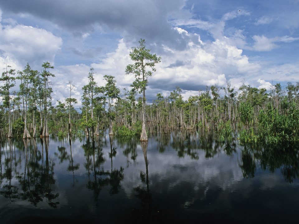
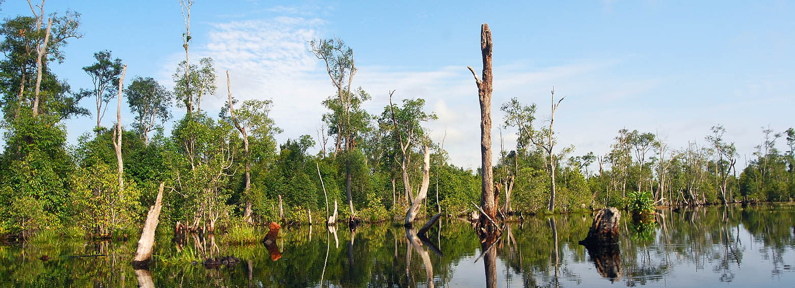
Indonesia hosts the largest tropical peatland areas worldwide. These landscapes represent huge carbon sinks, formed over the last 15.000 years from deposited plant remains, which accumulate […]
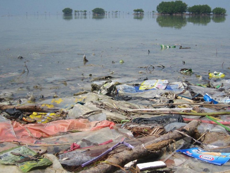
Last year, ESA asked via the Open Space Innovation Platform for innovative ideas to detect and track marine plastic litter using satellites. Marine litter is one […]
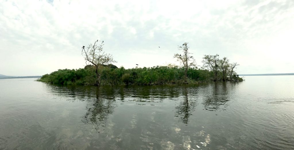
In the framework of the Krombacher climate protection project, the WWF implemented a large peat restoration activity to improve the water balance of a peat swamp […]
Drought events pose a threat to crop productivity, can cause socioeconomic impacts such as decreased farmer income, and may even result in the need for international […]
RSS became a new member of the Global Peatlands Initiative and is now looking forward to contribute to peatland conservation through assessing the status of global […]
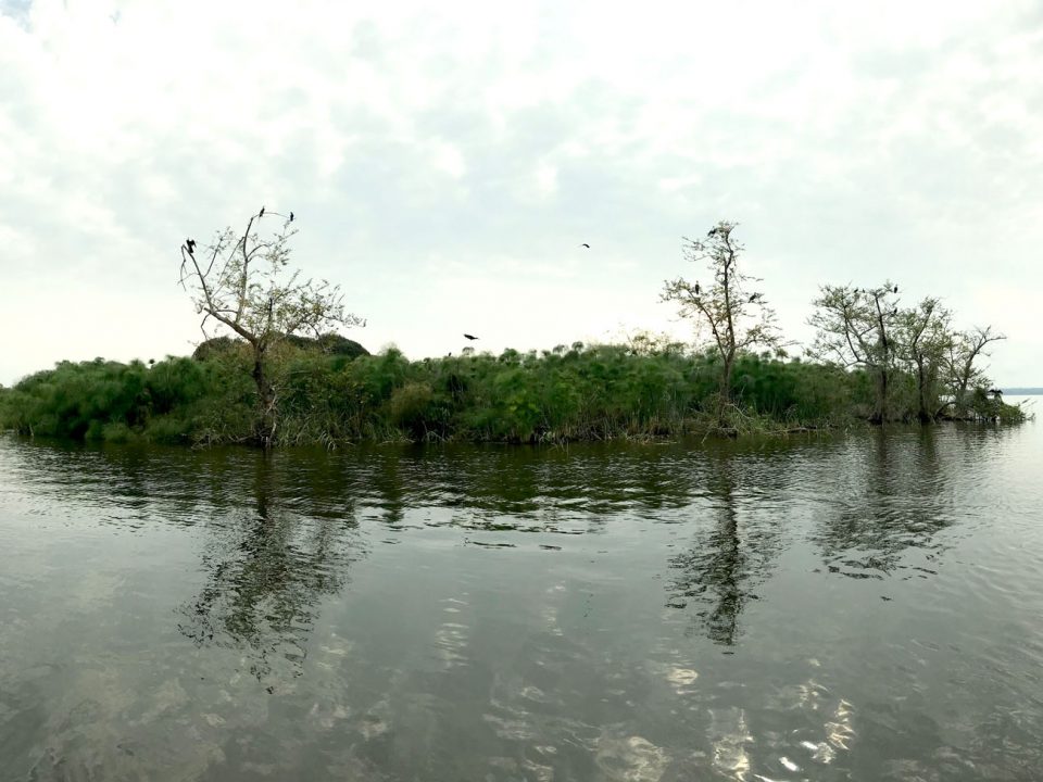
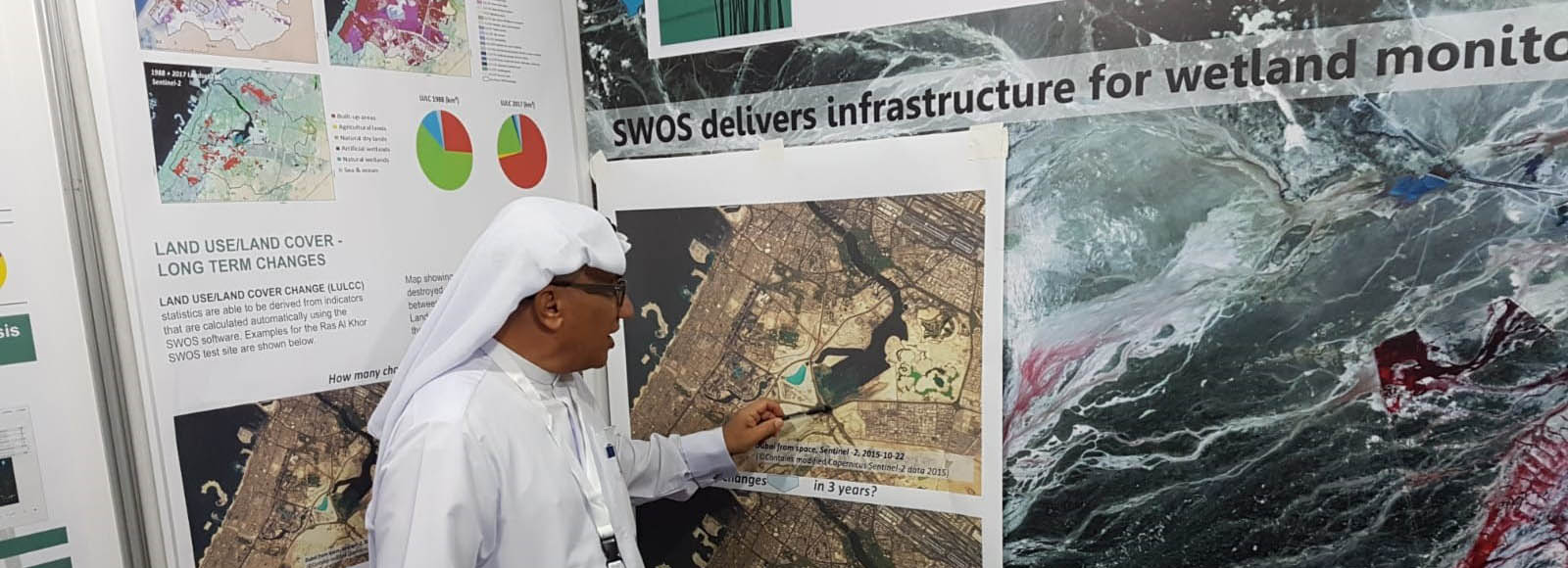
Enhanced wetland monitoring, assessment and indicators to support European and global environmental policy is the title of the SWOS policy report that identifies the links between […]
Meet RSS at the 13th Meeting of the Conference of the Contracting Parties to the Ramsar Convention on Wetlands (COP13) which will be held in Dubai, […]
Wir verwenden Cookies, um Ihnen auf unserer Website die beste Nutzererfahrung zu bieten. Wenn Sie diese Website weiterhin nutzen, gehen wir davon aus, dass Sie damit einverstanden sind. Cookie EinstellungenOK
Datenschutz & Cookie-Richtlinien
Privacy Overview
This website uses cookies to improve your experience while you navigate through the website. Out of these cookies, the cookies that are categorized as necessary are stored on your browser as they are essential for the working of basic functionalities of the website. We also use third-party cookies that help us analyze and understand how you use this website. These cookies will be stored in your browser only with your consent. You also have the option to opt-out of these cookies. But opting out of some of these cookies may have an effect on your browsing experience.
Necessary cookies are absolutely essential for the website to function properly. This category only includes cookies that ensures basic functionalities and security features of the website. These cookies do not store any personal information.
Any cookies that may not be particularly necessary for the website to function and is used specifically to collect user personal data via analytics, ads, other embedded contents are termed as non-necessary cookies. It is mandatory to procure user consent prior to running these cookies on your website.


