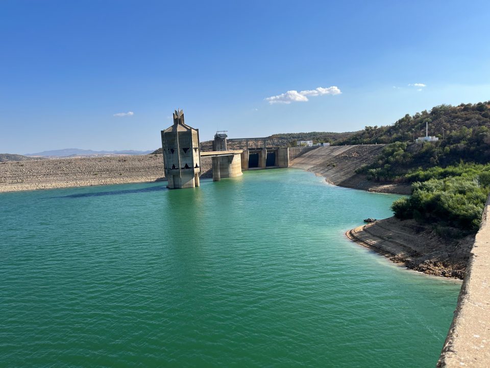
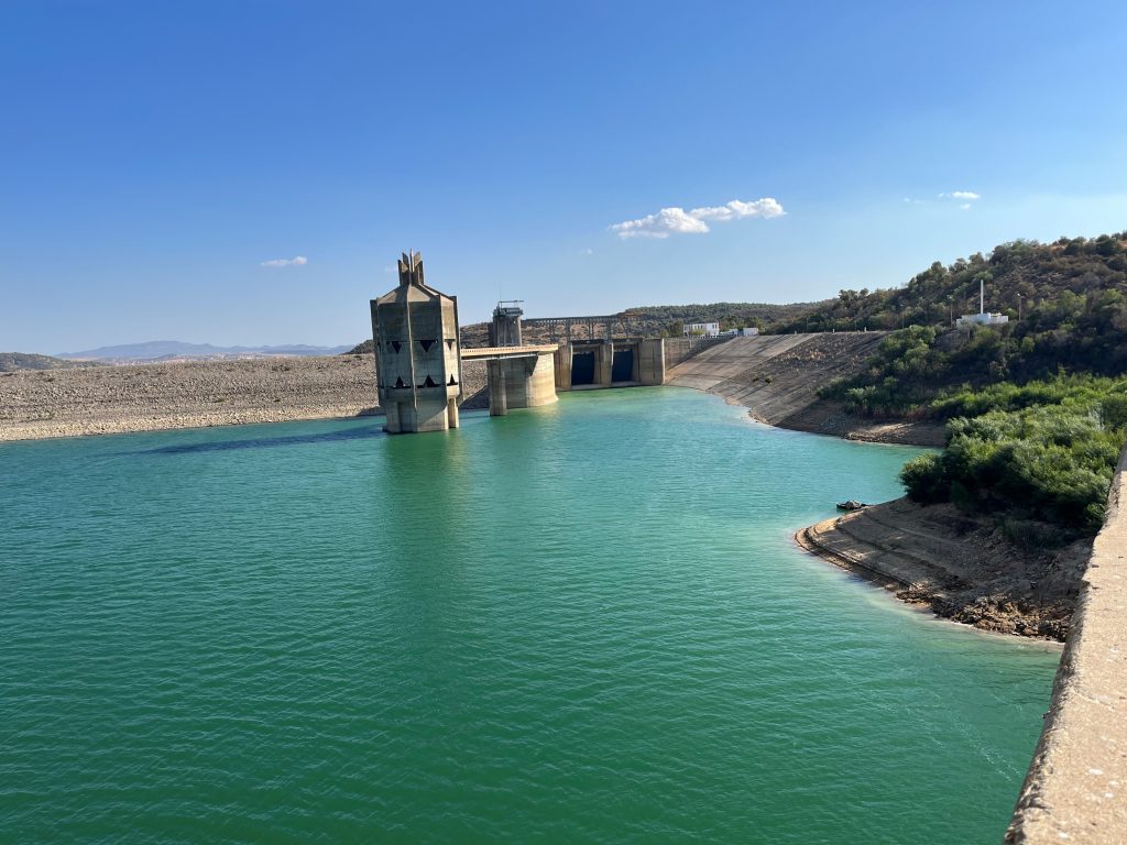
Climate change and human impact are causing increasing water security problems in the Mediterranean region. It is therefore becoming more and more important to properly manage […]
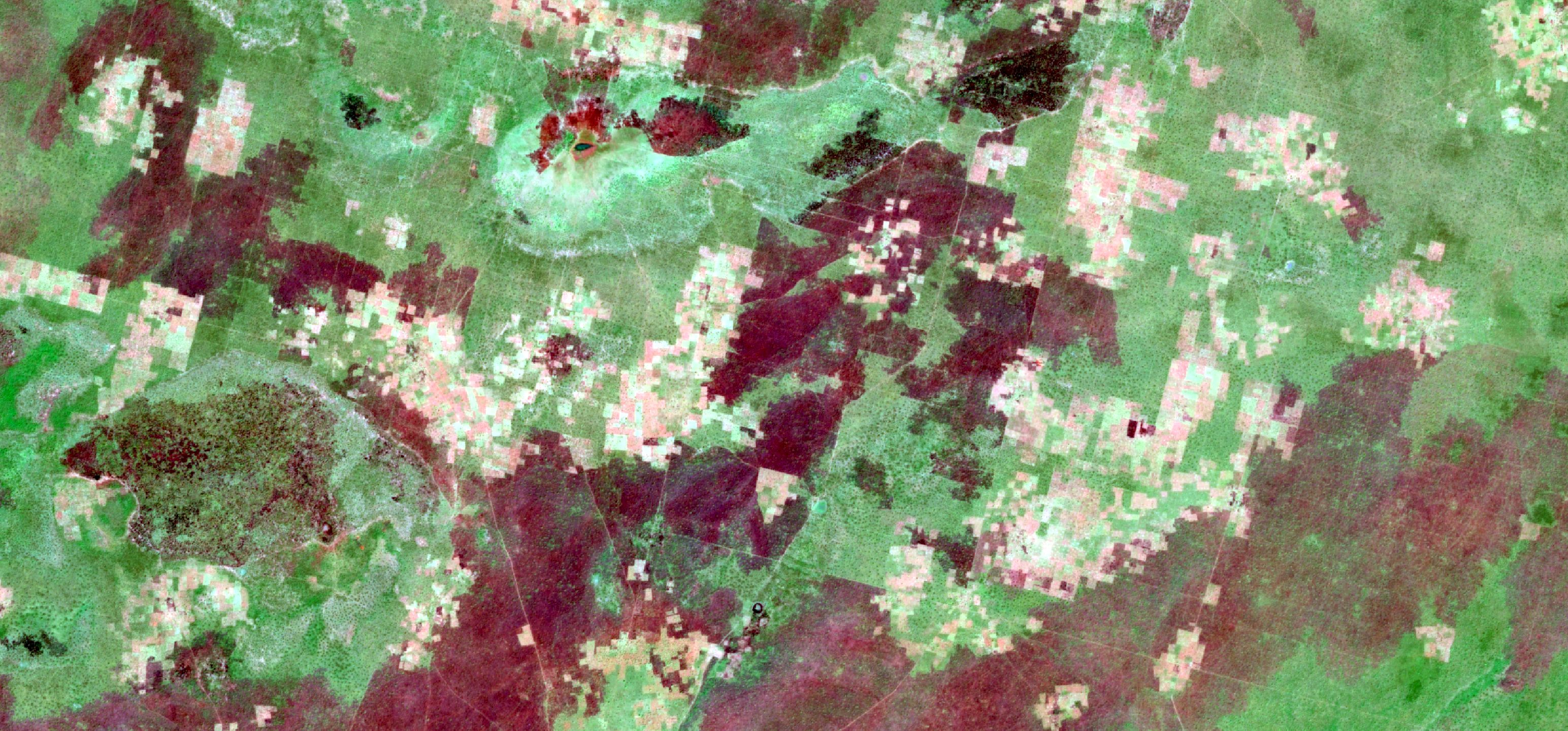
Recently RSS completed an extensive peatland survey in Indonesia: 15 million hectares of peatland across Sumatra, Kalimantan, and Papua were mapped for the Indonesian Peat Restoration Agency (BRG) based on historic and recent satellite imagery as well as topographic data in combination with field measurements of peat depth.
CoExist will monitor environmental-related transhumance patterns and will assess the associated risks for population displacement in Chad and the Central African Republic. The project is a cooperation between RSS and IOM (UN Agency - International Organization for Migration) and is funded by the Federal Ministry for Economic Affairs and Energy via the DLR Space Administration.
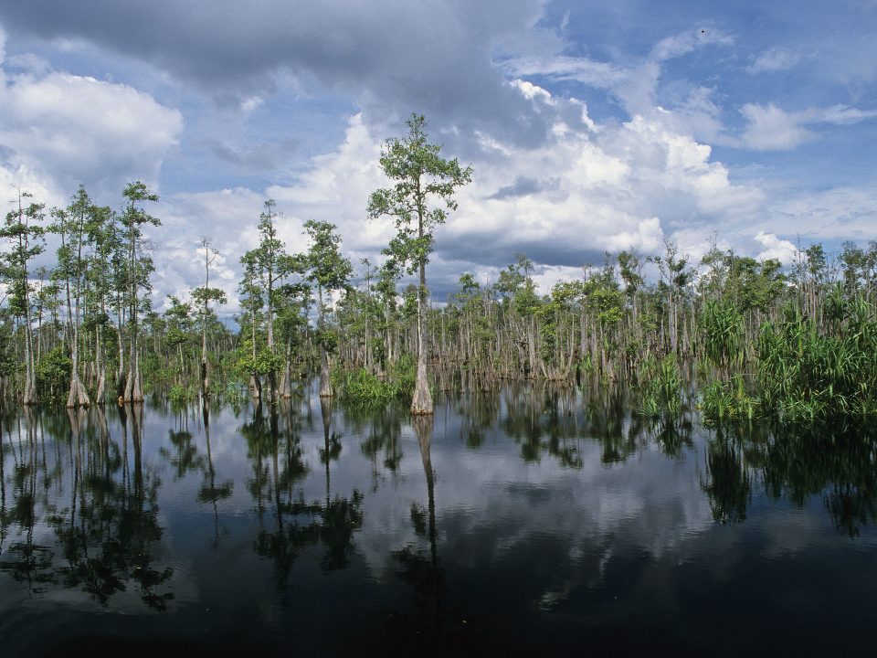
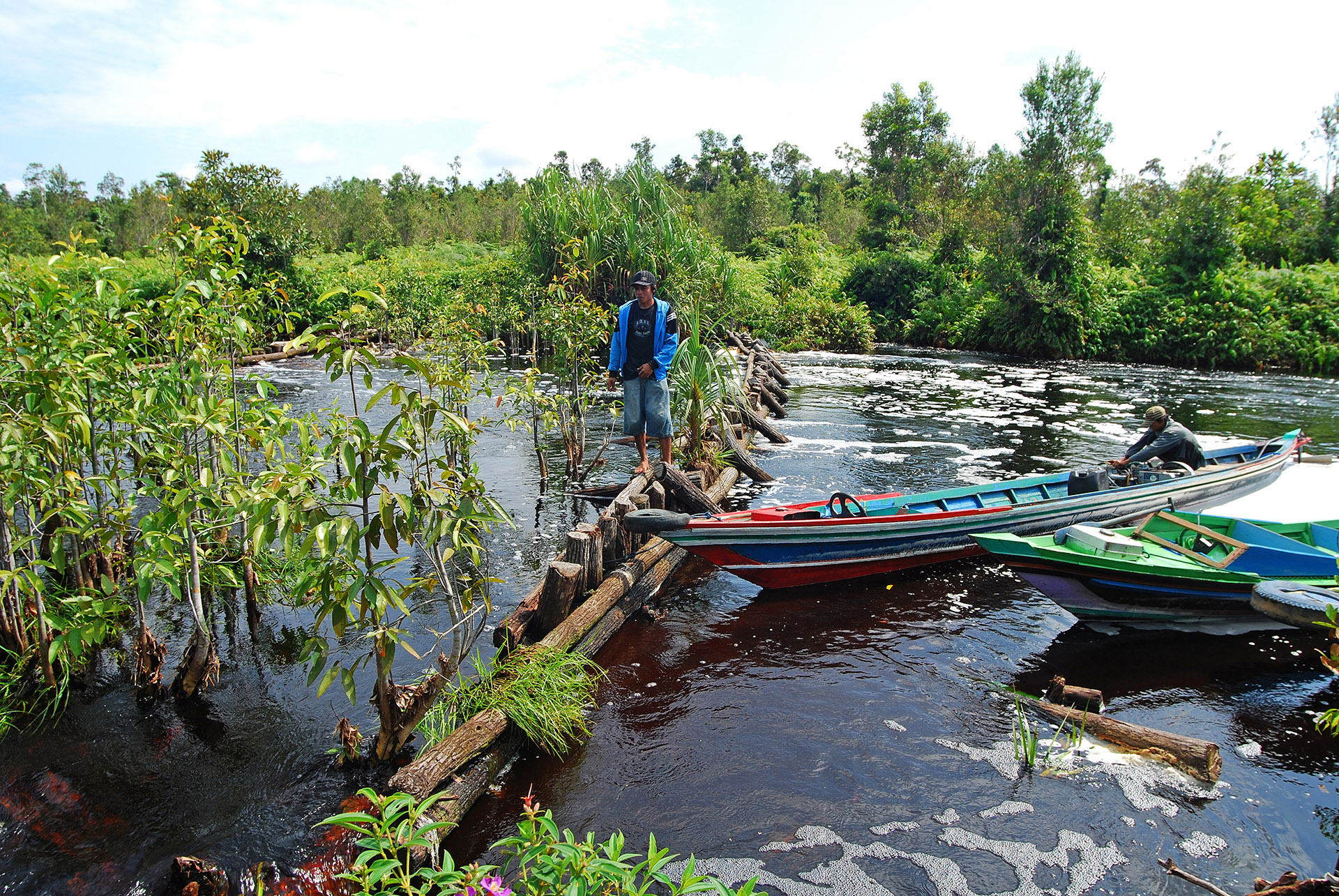
RSS contributed to the Krombacher Climate Protection Project by determining the specific CO₂ emission savings achieved by the peat rewetting activities which were implemented by the WWF in the Sebangau National Park in Borneo, Indonesia.
This week, partners from JRC’s GDO, UNCCD and WWF joined the GlobeDrought consortium to discuss the current status of global drought monitoring, best practices and the possibility of future cooperation between organizations.
Enhanced wetland monitoring, assessment and indicators to support European and global environmental policy is the title of the SWOS policy report that identifies the links between the Horizon 2020 Satellite-based Wetland Observation Service (SWOS) project outcomes and existing policy frameworks at European and global levels.
The publication is a collection of success stories on how Copernicus data meets the concrete needs of regional policy making. The RSS contribution “How Copernicus supports the energy transition“ was selected and included as a success story. The launch of “The Ever Growing Use of Copernicus across Europe’s Regions” at the European Parliament was on November 22nd 2018.
This website uses cookies to improve your experience. We'll assume you're ok with this, but you can opt-out if you wish. Cookie settingsOK
Privacy & Cookies Policy
Privacy Overview
This website uses cookies to improve your experience while you navigate through the website. Out of these cookies, the cookies that are categorized as necessary are stored on your browser as they are essential for the working of basic functionalities of the website. We also use third-party cookies that help us analyze and understand how you use this website. These cookies will be stored in your browser only with your consent. You also have the option to opt-out of these cookies. But opting out of some of these cookies may have an effect on your browsing experience.
Necessary cookies are absolutely essential for the website to function properly. This category only includes cookies that ensures basic functionalities and security features of the website. These cookies do not store any personal information.
Any cookies that may not be particularly necessary for the website to function and is used specifically to collect user personal data via analytics, ads, other embedded contents are termed as non-necessary cookies. It is mandatory to procure user consent prior to running these cookies on your website.


