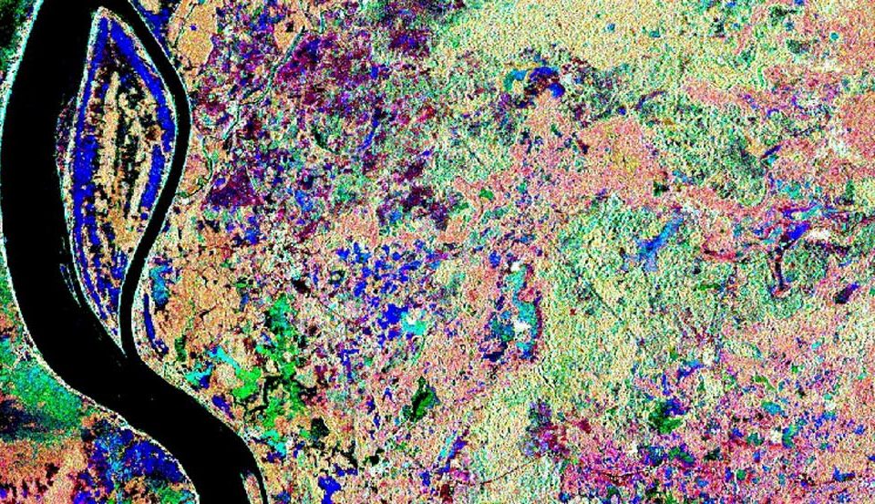
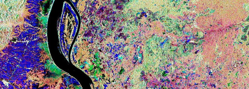
In the Association of South East Asian Nations (ASEAN) region peatlands cover approximately 23,6 million hectares, representing 56% of global tropical peatlands. However, their exact extent in most of these countries is not well known since the identification by field-based methods is time consuming and expensive due to the enormous extent of the countries and additionally due to difficult accessibility of many areas.


