
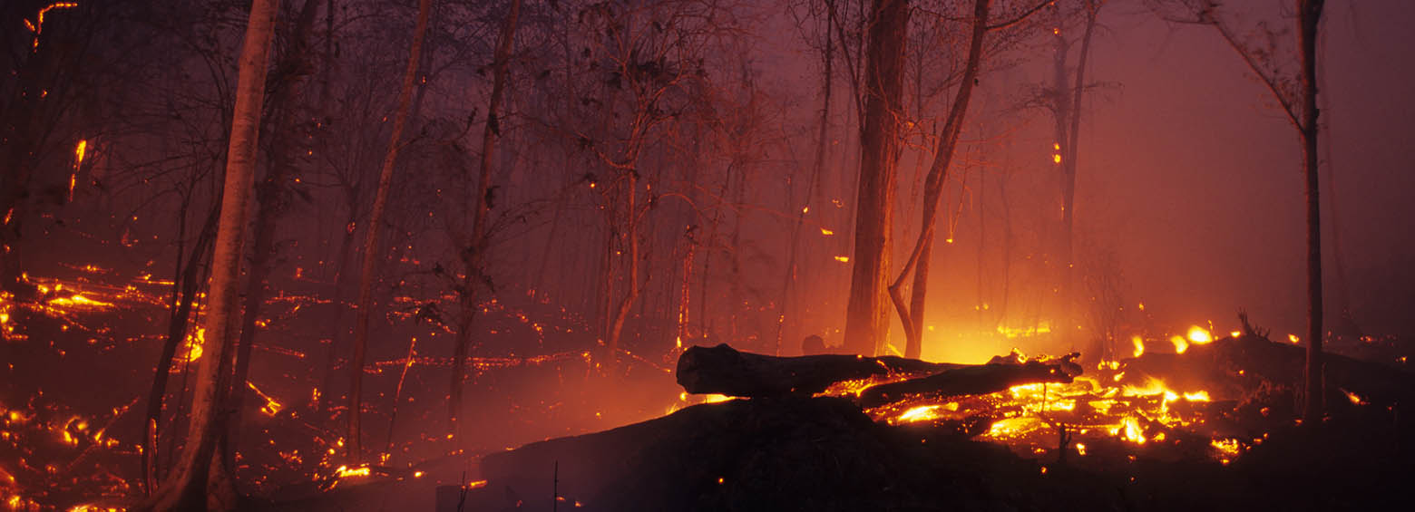
Burned area mapping using Sentinel-1 SAR time series
April 25, 2018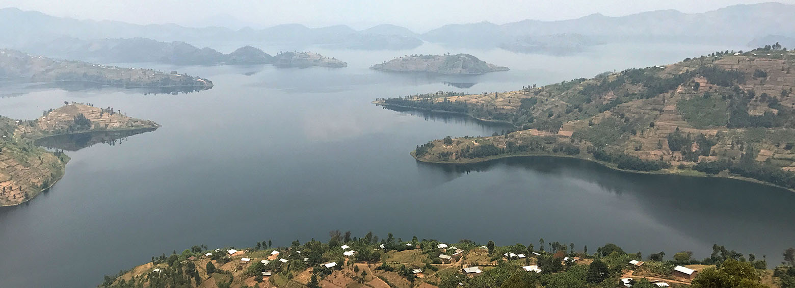
DeMo-Wetlands field survey and stakeholder meeting in Rwanda
August 29, 2018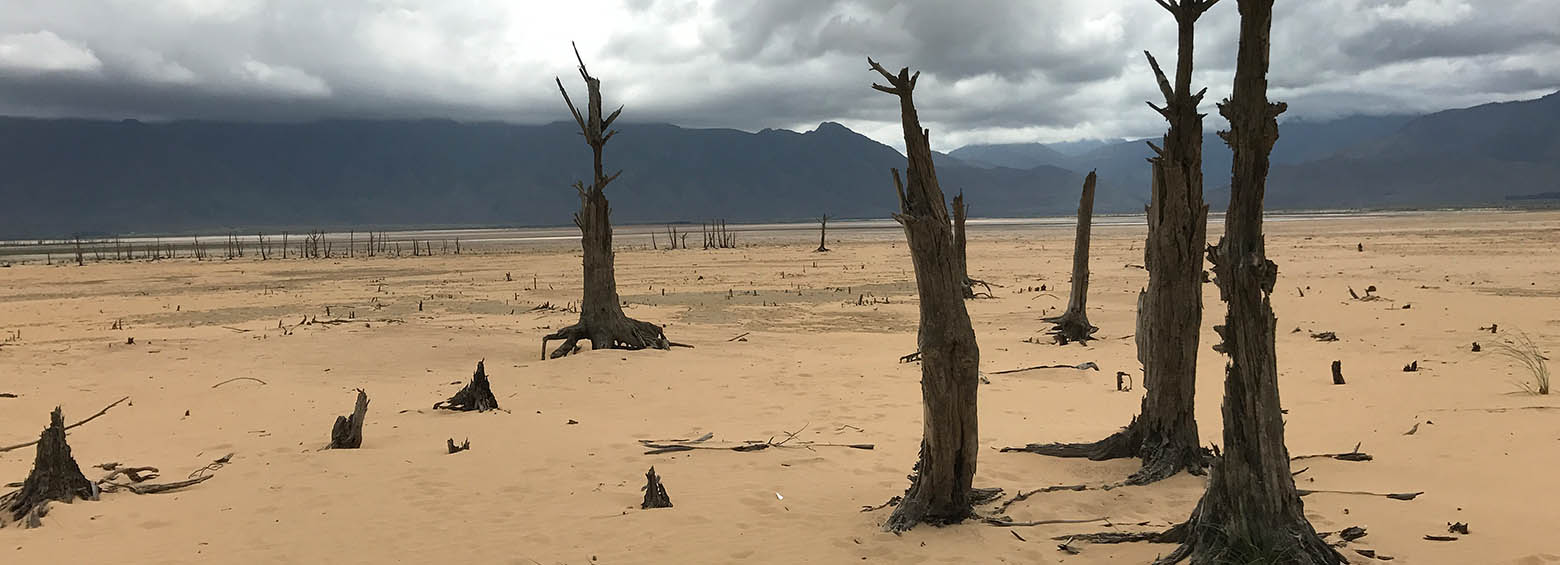
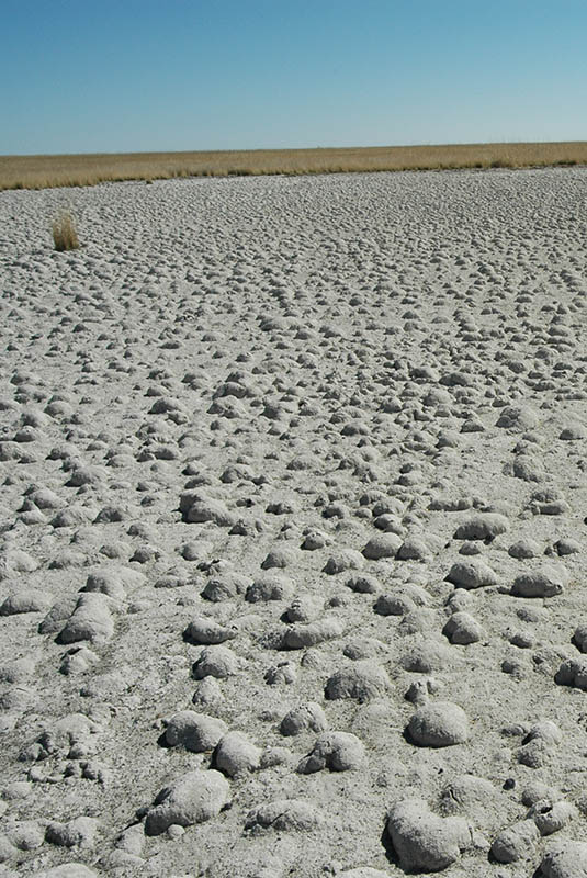
Climate change induced droughts
Drought events pose a threat to crop productivity, can cause socioeconomic impacts such as decreased farmer income, and may even result in the need for international food aid. While several drought information and early warning systems are operational, they do not typically make use of the information available across scientific fields and tend to rely on simple indicators which only describe either agricultural, meteorological or hydrological drought alone. Information on socioeconomic factors that strongly affect drought impacts are also rarely considered, despite their importance.
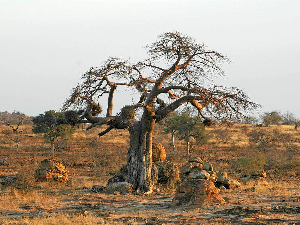
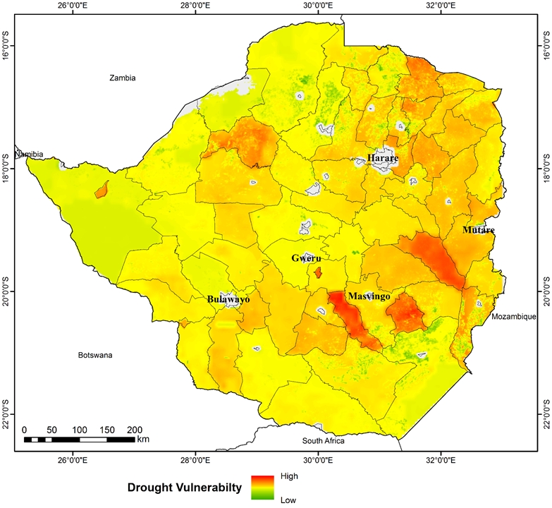
Focus on Africa
GlobeDrought combines spatially explicit, historical information on drought hazard, exposure and vulnerability from meteorological, agricultural, hydrological and socioeconomic sources to provide reliable and comprehensive information on drought risk at a global level. These global analyses will be complemented by more detailed assessments in regions severely affected by droughts, such as South Africa, Zimbabwe, the Missouri Basin (USA), Maharashtra State (India) and Ceará State (Brazil). In addition, this information will be used to model future trends in an experimental early warning system.
GlobeDrought’s goals
- Analyze the occurrence of droughts (defined as a temporary shortage in water which may also be influenced by anthropogenic water use) in a standardized fashion and within multiple components of the earth system (precipitation, evapotranspiration, flow rate, total water storage, water storage in the soil, in groundwater and in surface waters), as well as the associated loss in agricultural yields (agronomic droughts) and anomalies in vegetation changes.
- Characterize drought risks by analyzing the human population’s exposure and vulnerability to droughts, as well as the conditions under which droughts lead to production loss, changes in trade flows and the need for emergency humanitarian aid.
- Improve global modelling of hydrological droughts via GRACE gravity field data.
- Improve regional modelling of drought-related yield loss by assimilating remote sensing data (e.g. leaf area index - LAI, land surface temperature - LST) into crop models
- Improve regional modelling of hydrological and agricultural droughts by coupling both models.
- Conceive and test a prototype for near-real time (NRT) drought risk monitoring.
RSS RESPONSIBILITIES
- Assess the applicability of vegetation index anomalies for monitoring drought
- Map crop type/ farming systems to improve the current spatial detail available to crop models and augment the information provided in the final risk product
- Model historic and future drought probability based on indicators one can derive from remote sensing
- Develop the web service which hosts the integrated drought information system
Potential of application
The project will produce a spatially explicit description of drought risks by considering three components: drought hazard, exposure and vulnerability. It will investigate how droughts impact water resources, crop productivity, trade in food products and the need for international food aid. In terms of methodology, the project aims to link satellite-based remote sensing and analyses of precipitation data with hydrological modelling and yield modelling. This will produce indicators for characterizing meteorological, hydrological and agricultural droughts, which in turn will make it possible to quantify drought risks. Analyses of socioeconomic data will provide the basis for quantifying exposure and vulnerability.
PROJECT PARTNERS
Department of Crop Sciences, University of Göttingen; IGG-Institute of Geodesy and Geoinformation, University of Bonn; ZFL-Center for Remote Sensing of Land Surfaces, University of Bonn; Institute of Physical Geography, Goethe University Frankfurt; Institute for Environment and Human Security, United Nations University; Welthungerhilfe


