
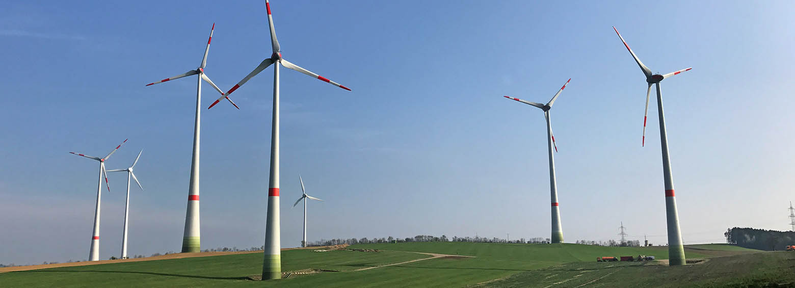
Spatial decision support for a sustainable and efficient energy transition
March 17, 2017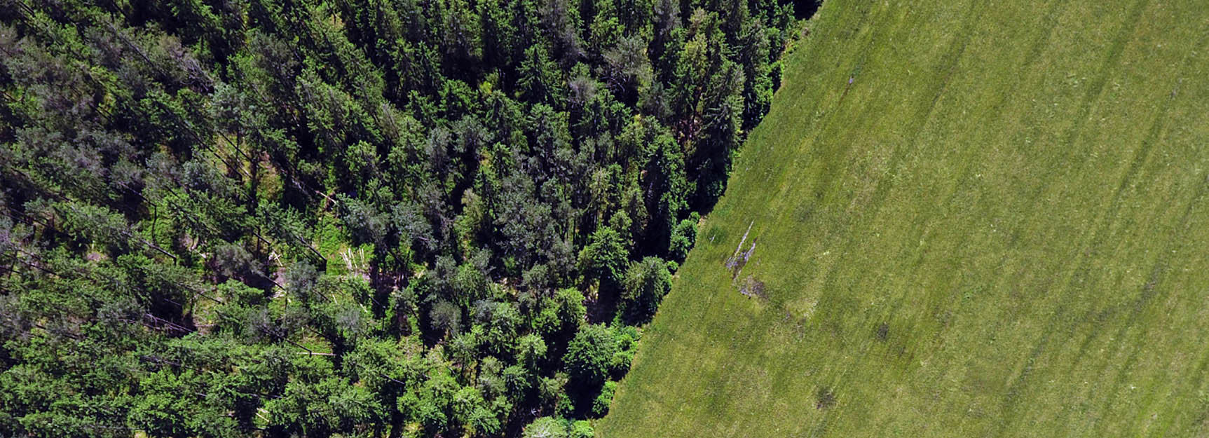
Multi-Spectral- and 3D-Monitoring of Vegetation by UAVs
November 6, 2017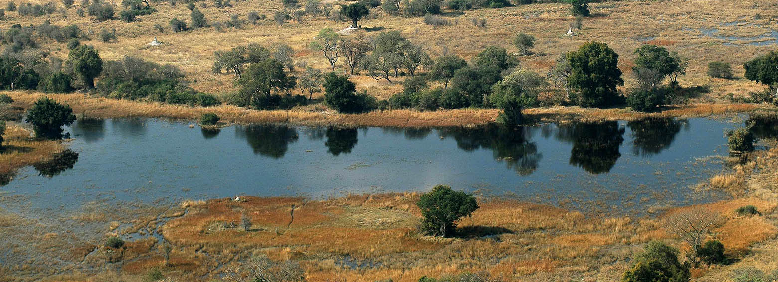
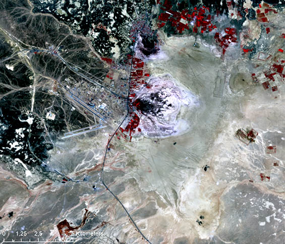
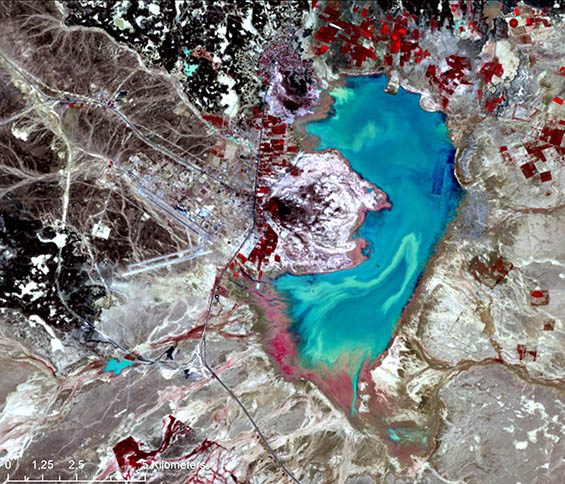
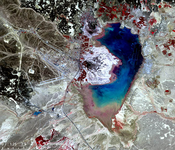
Wetlands are critical for human health and well-being and are hotspots of biodiversity. They are also one of the fastest declining ecosystems worldwide. The threats against them continue to mount. An increase in the conversion of natural areas to urban and agricultural areas, infrastructure development, water diversion and pollution of air and water are some of the main factors causing their degradation and loss. Information on the location of wetlands, their ecological character and the services they give (such as water sources, sources of food, storage of carbon and buffering or mitigating disaster risks) is often sparse.
Dynamic monitoring of wetland condition
In SWOS we use new possibilities offered by free satellite data (including Sentinel satellites) to generate mapping products and indicators which will be applicable globally and demonstrated for a range of selected wetlands in Europe, Africa and Asia. Timely observations allow for dynamic monitoring of wetland condition and changes (and their drivers) on a large spatial and temporal scale. SWOS integrates satellite data, mapping products and in-situ databases into a Service Portal, also connected with other web-based approaches to environmental monitoring. Via this Portal, SWOS will provide a unique entry point to easily locate, access, process and connect wetlands information.
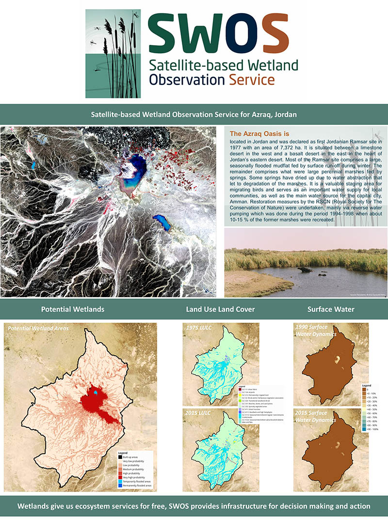
Reporting obligations for environmental policies
SWOS provides wetland practitioners (managers, policy-makers, scientists) with wetland monitoring tools and assists in reporting obligations for environmental policies at different scales. The SWOS service has produced maps and indicators for several points in time for 50 wetland locations in Europe, Africa and Asia based on freely available satellite images from different sources.
RSS RESPONSIBILITIES
- Coordination of all partners regarding the timely production of all mapping products
- Development of new processing chains for big data handling for large-scale monitoring
- Feasibility study on the limitations and benefits of remote sensing data for wetland characterization using existing nomenclatures (Ramsar, MAES, FAO LCCS, CLC)
- Product definition & development
- LULC change mapping of Lorian Swamp (Kenya) and Azraq (Jordan)
Potential of application
Based on the user requirements and ongoing consultation with the user base, a selection of service cases was developed to showcase the possibilities of the SWOS project across the local, national, regional and global levels. The service cases contained five key elements: 1.) policy context (e.g. EU Habitats Directive, Ramsar Convention, MAES), 2.) description of the users in this policy context, 3.) information needs (e.g. Habitats Directive Article 17 reporting), 4.) user requirements (e.g. baseline year, spatial resolution, nomenclature) and 5.) matching SWOS products and their specifications.
Project partners
For a complete list of the 13 research partners, visit https://www.swos-service.eu/project-consortium/
Funding source
European Commission under Horizon 2020


