February 5, 2019
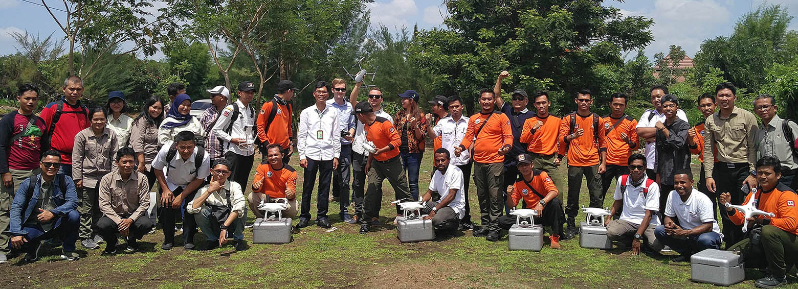
Within the framework of the GIZ's FORCLIME programme, RSS was recently hosting a week-long training on burned area detection using Sentinel-1 satellite data. Over 20 Indonesian officials from MoEF, LAPAN and provincial authorities explored how Sentinel-1 data could be used to complement Landsat-based burned area mapping in Indonesia.