Climate Change

November 28, 2019

CoExist KICK-OFF MEETING AT UN-IOM

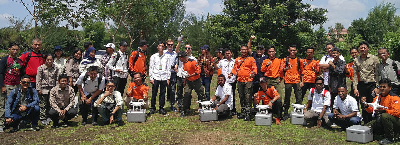
CoExist will monitor environmental-related transhumance patterns and will assess the associated risks for population displacement in Chad and the Central African Republic. The project is a cooperation between RSS and IOM (UN Agency - International Organization for Migration) and is funded by the Federal Ministry for Economic Affairs and Energy via the DLR Space Administration.
May 6, 2019

Earth Observation can support public health

Climate change has emerged as a major risk factor for global public health acting on its own or modifying the effect of the wide array of the well-studied immediate and intermediate determinants of health. A DFG-funded Research Unit in Public Health studies how weather variability influences three major climate-sensitive health outcomes: (i) childhood undernutrition, (ii) malaria and (iii) heat stress.
February 5, 2019

SAR-based burned area mapping training in Indonesia

Within the framework of the GIZ's FORCLIME programme, RSS was recently hosting a week-long training on burned area detection using Sentinel-1 satellite data. Over 20 Indonesian officials from MoEF, LAPAN and provincial authorities explored how Sentinel-1 data could be used to complement Landsat-based burned area mapping in Indonesia.
June 6, 2018

GlobeDrought – large-scale identification of drought hazard, vulnerability and risk

Drought events pose a threat to crop productivity, can cause socioeconomic impacts such as decreased farmer income, and may even result in the need for international food aid. GlobeDrought combines spatially explicit, historical information on drought hazard, exposure and vulnerability from meteorological, agricultural, hydrological and socioeconomic sources to provide reliable and comprehensive information on drought risk at a global level.
April 25, 2018

Burned area mapping using Sentinel-1 SAR time series

The ESA Fire CCI project focuses on the development of long time series of burned area constructed from multi sensor satellite data. It is part of the Climate Change Initiative (CCI) of the European Space Agency (ESA). As a project partner, RSS produced the first spatial estimates of burned area for the fire prone year 2015 using on high-resolution Sentinel-1 SAR imagery.
November 6, 2017

Multi-Spectral- and 3D-Monitoring of Vegetation by UAVs

Objective of this EUROSTARS research project is the development and evaluation of a multi-spectral measurement device for improved monitoring of vegetation by drones. Application fields are forest inventories and the monitoring of large agricultural production areas.