Climate Change

March 17, 2017

Spatial decision support for a sustainable and efficient energy transition

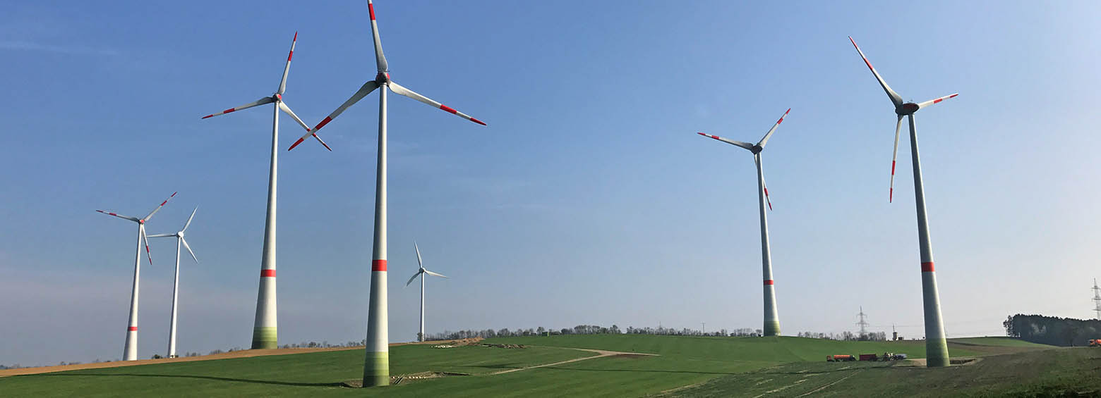
Energy transition is governed at European and national scale, leading to laws and regulations such as the German EEG. Regional administrations are often not aware of the full potential and limitations to produce renewable energies. In the research project COP4EE-2 RSS uses satellite imagery to determine the potential for renewable energies on a district level.
March 16, 2017

FireSENSE – Improving fire monitoring

The multilateral research project FireSense aims at developing an improved fire information system to support environmental agencies and fire fighting. It includes early detection of active fires, assessment of vegetation and peat fires by thermal infrared satellites, derivation of trace gas and aerosol emissions and the mapping of burned areas.