This week, partners from JRC’s GDO, UNCCD and WWF joined the GlobeDrought consortium to discuss the current status of global drought monitoring, best practices and the possibility of future cooperation between organizations.
RSS became a new member of the Global Peatlands Initiative and is now looking forward to contribute to peatland conservation through assessing the status of global peatlands.
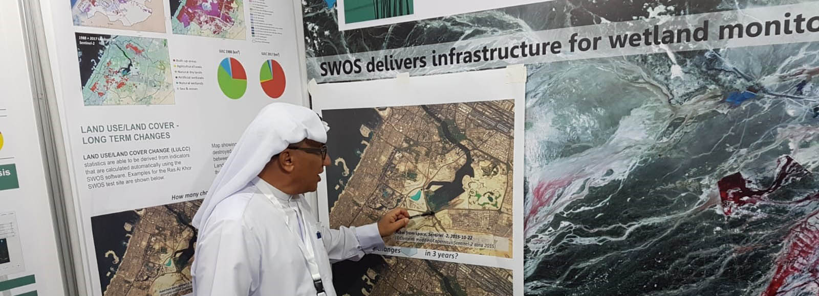
Enhanced wetland monitoring, assessment and indicators to support European and global environmental policy is the title of the SWOS policy report that identifies the links between the Horizon 2020 Satellite-based Wetland Observation Service (SWOS) project outcomes and existing policy frameworks at European and global levels.
Meet RSS at the 13th Meeting of the Conference of the Contracting Parties to the Ramsar Convention on Wetlands (COP13) which will be held in Dubai, the United Arab Emirates, from 21 to 29 October 2018.
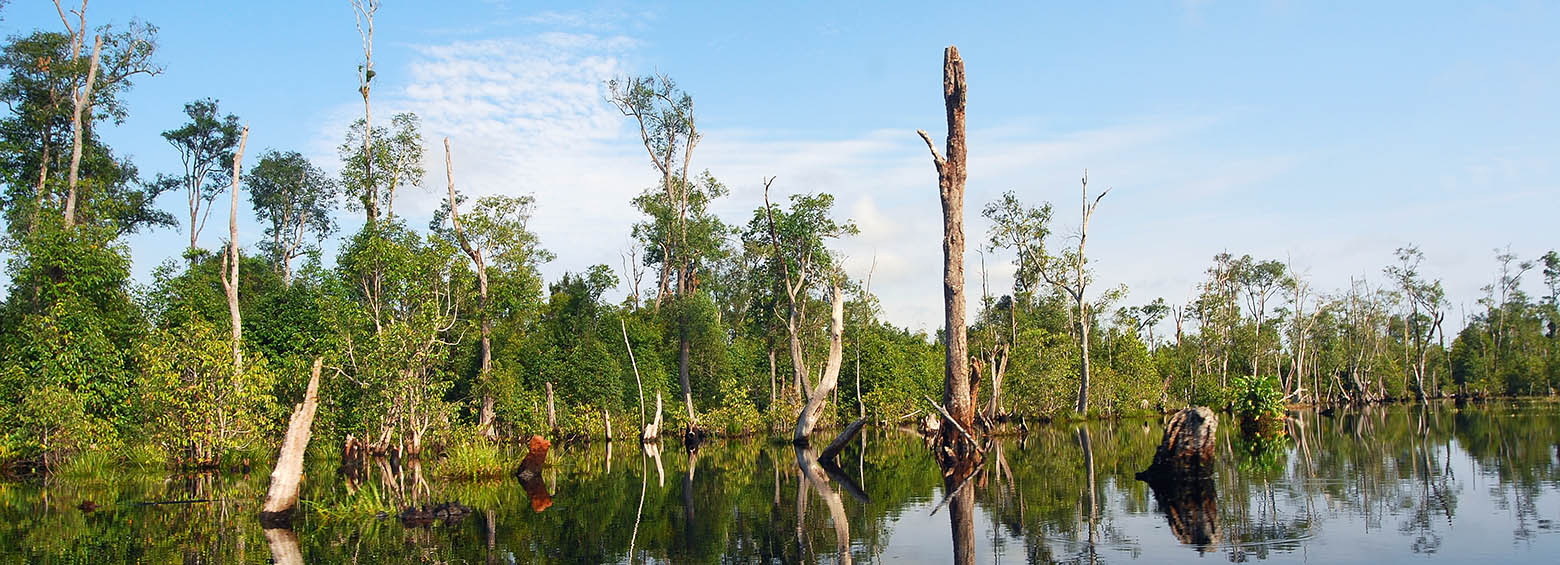
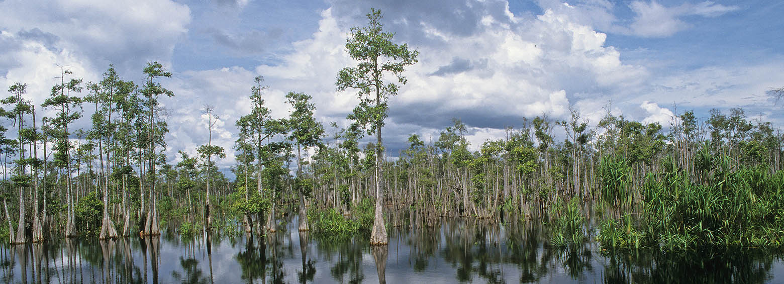
Demo-Wetlands is a research project, designed to explicitly address the need of international conventions for standardized methods of wetland monitoring by satellite remote sensing. As these fragile ecosystems are facing increasing pressure through global warming, pollution, overuse and land use change, up to date information on the state of global wetlands are key to support their protection.
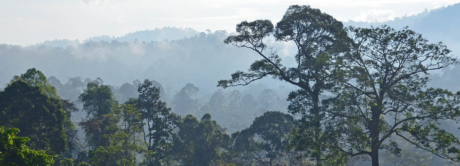
The international research project Pol-InSAR4AGB focused on the development of algorithms and the creation of process chains for the integrative use of multi-sensor X- and C-band SAR data using Pol-InSAR techniques for the determination of forest height and above-ground biomass in tropical forests.
Today, on the World’s Wetlands Day, Indonesia’s Geospatial Information Agency (BIG) announced that the International Peat Mapping Team, led by Remote Sensing Solutions GmbH (RSS), is the winner of the USD $1 million Indonesian Peat Prize.
We are very pleased to announce that RSS, as lead of the International Peat Mapping Team, won the 1 Million USD Indonesian Peat Prize challenge! The competition aimed to find a new, more accurate and efficient way of mapping tropical peatland extent and thickness.
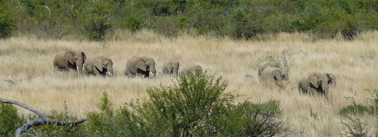
CapeOutdoors3D prototyped a web application for tourists planning outdoor activities in Nature Reserves and National Parks in South Africa. The project linked the space technologies Earth Observation and GPS Satellite Navigation with the aim to provide a 3D virtual reality planning and navigation tool for tourists.
This website uses cookies to improve your experience. We'll assume you're ok with this, but you can opt-out if you wish. Cookie settingsOK
Privacy & Cookies Policy
Privacy Overview
This website uses cookies to improve your experience while you navigate through the website. Out of these cookies, the cookies that are categorized as necessary are stored on your browser as they are essential for the working of basic functionalities of the website. We also use third-party cookies that help us analyze and understand how you use this website. These cookies will be stored in your browser only with your consent. You also have the option to opt-out of these cookies. But opting out of some of these cookies may have an effect on your browsing experience.
Necessary cookies are absolutely essential for the website to function properly. This category only includes cookies that ensures basic functionalities and security features of the website. These cookies do not store any personal information.
Any cookies that may not be particularly necessary for the website to function and is used specifically to collect user personal data via analytics, ads, other embedded contents are termed as non-necessary cookies. It is mandatory to procure user consent prior to running these cookies on your website.