
October 19, 2021
April 27, 2021
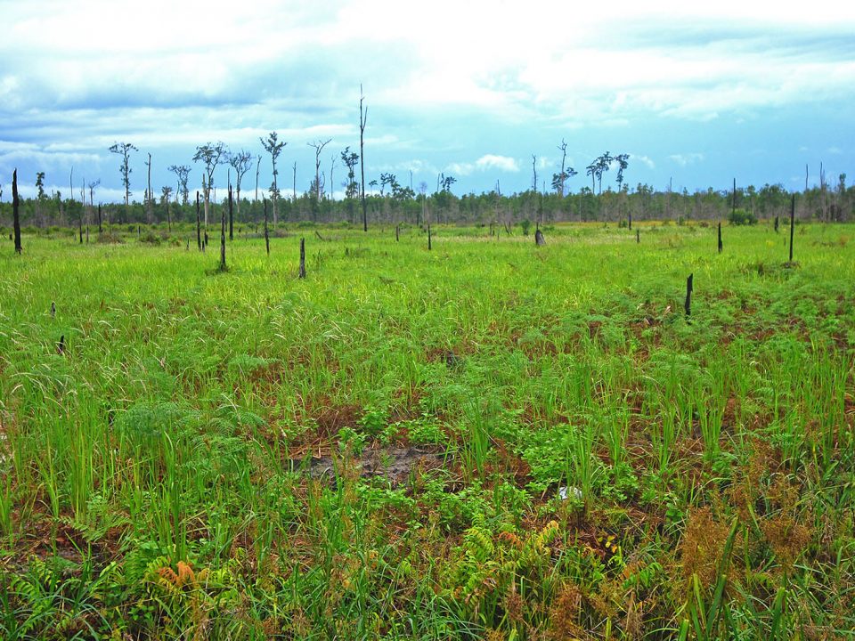
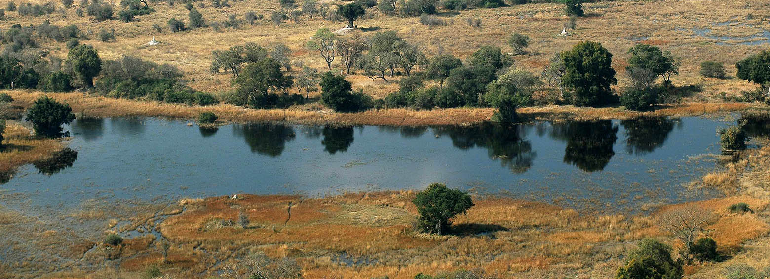
RSS recently published a study focusing on the identification of ombrogenous peat domes. In this study an approach to model the surface of convex shaped peat domes in Indonesia using freely available satellite LiDAR data from ICESat-2/ATLAS, which was launched in 2018, was developed.
February 15, 2018
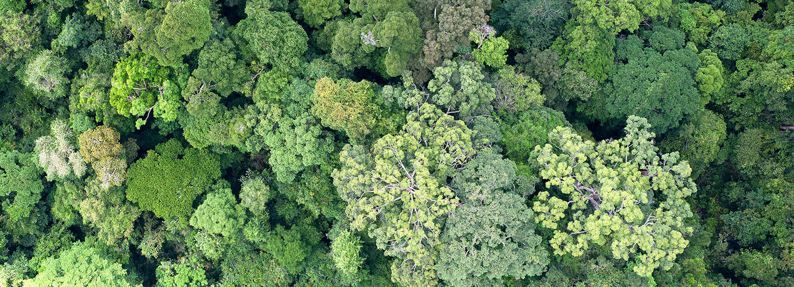
Biomass is a fundamental biophysical variable that quantifies the Earth’s living vegetation. It has profound social and economic importance as a source of materials and energy, and its state, dynamics and resilience have impacts on the whole Earth system. The main purpose of the GlobBiomass project was to better characterize and to reduce uncertainties of above ground biomass estimates.
February 3, 2018
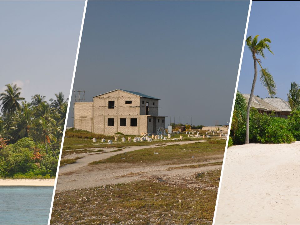
We are very pleased to announce that RSS, as lead of the International Peat Mapping Team, won the 1 Million USD Indonesian Peat Prize challenge! The competition aimed to find a new, more accurate and efficient way of mapping tropical peatland extent and thickness.
October 14, 2017
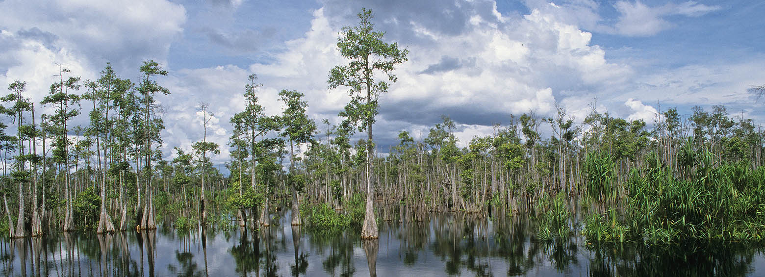
Enhanced wetland monitoring, assessment and indicators to support European and global environmental policy is the title of the SWOS policy report that identifies the links between the Horizon 2020 Satellite-based Wetland Observation Service (SWOS) project outcomes and existing policy frameworks at European and global levels.
