
August 9, 2021
September 1, 2020

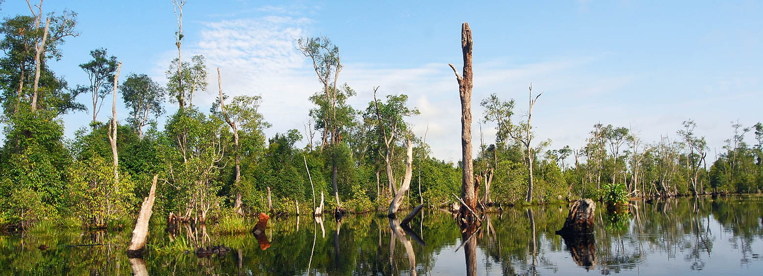
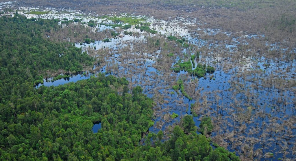
Indonesia hosts the largest tropical peatland areas worldwide. These landscapes represent huge carbon sinks, formed over the last 15.000 years from deposited plant remains, which accumulate […]
August 5, 2020
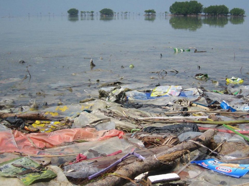
Last year, ESA asked via the Open Space Innovation Platform for innovative ideas to detect and track marine plastic litter using satellites. Marine litter is one […]
June 5, 2020
January 10, 2020
A new study published in collaboration with ICIPE this May looks at the effect of agro-ecological landscape fragmentation and its effect on honey bee habitats in Eastern Kenya.
September 22, 2019
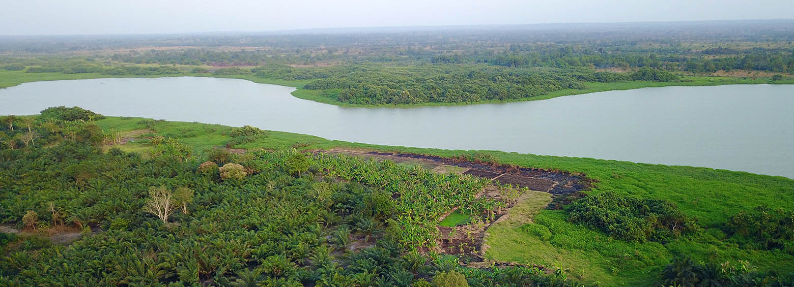
The IMPACTED project aims to understand how agro-forestry systems capture carbon stocks. Project related agro-forestry sites were established as part of a Payments for Ecosystem Services (PES) project incentive scheme in the Sofala Province in Mozambique. PES is an asset-building landscape conservation and climate mitigation strategy that is being increasingly seen as a viable land use option in rural Africa.
September 5, 2019
RSS became a new member of the Global Peatlands Initiative and is now looking forward to contribute to peatland conservation through assessing the status of global peatlands.
May 6, 2019
Climate change has emerged as a major risk factor for global public health acting on its own or modifying the effect of the wide array of the well-studied immediate and intermediate determinants of health. A DFG-funded Research Unit in Public Health studies how weather variability influences three major climate-sensitive health outcomes: (i) childhood undernutrition, (ii) malaria and (iii) heat stress.
March 21, 2019

Enhanced wetland monitoring, assessment and indicators to support European and global environmental policy is the title of the SWOS policy report that identifies the links between the Horizon 2020 Satellite-based Wetland Observation Service (SWOS) project outcomes and existing policy frameworks at European and global levels.
