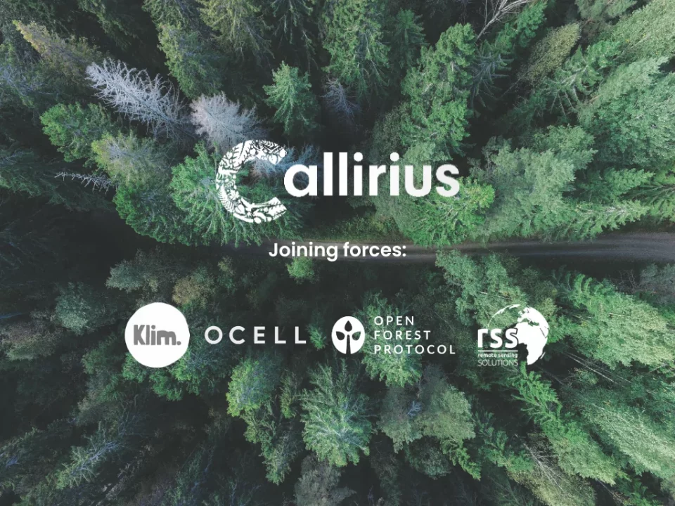
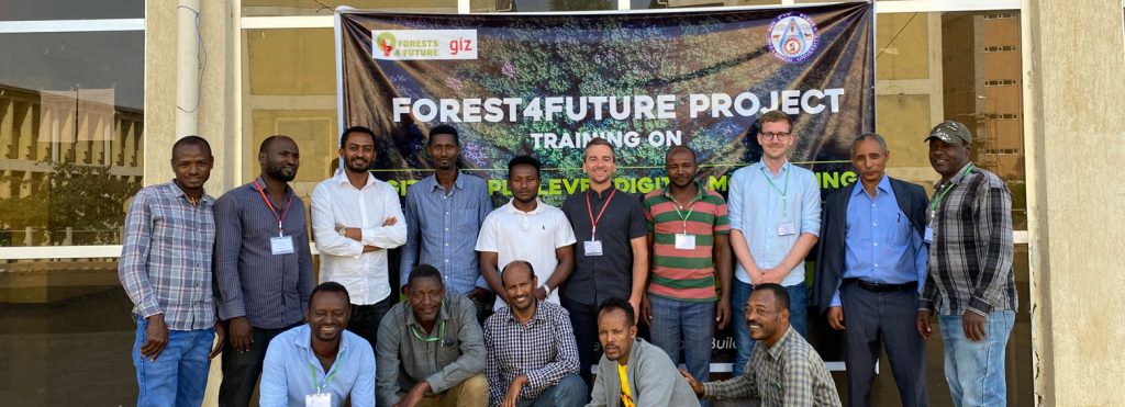
RSS has partnered with Callirius AG and other innovative ventures such as OCELL, Klim GmbH, and Open Forest Protocol to implement cutting-edge digital measurement, reporting, and […]
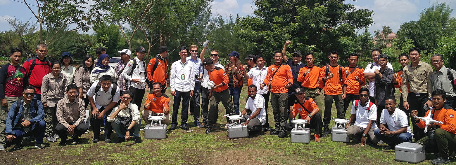
In the Association of South East Asian Nations (ASEAN) region peatlands cover approximately 23,6 million hectares, representing 56% of global tropical peatlands. However, their exact extent in most of these countries is not well known since the identification by field-based methods is time consuming and expensive due to the enormous extent of the countries and additionally due to difficult accessibility of many areas.
In the Association of South East Asian Nations (ASEAN) region peatlands cover approximately 23,6 million hectares, representing 56% of global tropical peatlands. However, their exact extent in most of these countries is not well known since the identification by field-based methods is time consuming and expensive due to the enormous extent of the countries and additionally due to difficult accessibility of many areas.
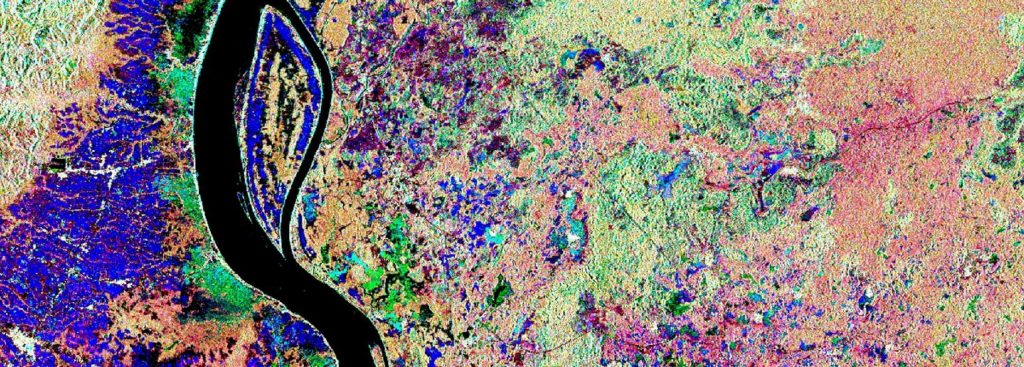
In the EUREKA EUROSTARS research project MuSe3D we developed together with four other European partners a five-band multispectral camera for use on conventional drones. Compared to […]
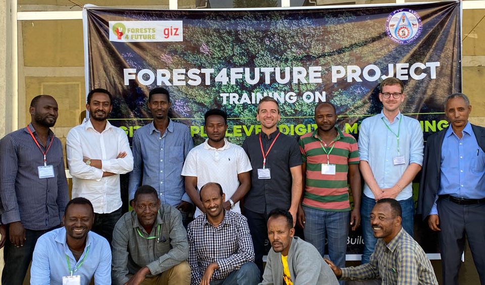
Within the framework of the GIZ's FORCLIME programme, RSS was recently hosting a week-long training on burned area detection using Sentinel-1 satellite data. Over 20 Indonesian officials from MoEF, LAPAN and provincial authorities explored how Sentinel-1 data could be used to complement Landsat-based burned area mapping in Indonesia.
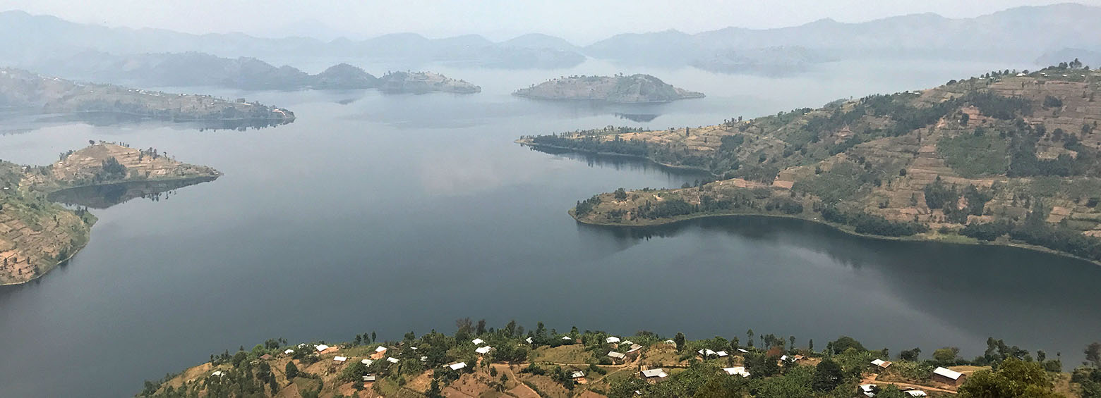
The DeMo-Wetlands team traveled to Rwanda this month, meeting with local stakeholders and exchanging the latest advances in geospatial products for wetlands. A field survey was additionally conducted for validating the products.
This website uses cookies to improve your experience. We'll assume you're ok with this, but you can opt-out if you wish. Cookie settingsOK
Privacy & Cookies Policy
Privacy Overview
This website uses cookies to improve your experience while you navigate through the website. Out of these cookies, the cookies that are categorized as necessary are stored on your browser as they are essential for the working of basic functionalities of the website. We also use third-party cookies that help us analyze and understand how you use this website. These cookies will be stored in your browser only with your consent. You also have the option to opt-out of these cookies. But opting out of some of these cookies may have an effect on your browsing experience.
Necessary cookies are absolutely essential for the website to function properly. This category only includes cookies that ensures basic functionalities and security features of the website. These cookies do not store any personal information.
Any cookies that may not be particularly necessary for the website to function and is used specifically to collect user personal data via analytics, ads, other embedded contents are termed as non-necessary cookies. It is mandatory to procure user consent prior to running these cookies on your website.

