
October 19, 2021
September 8, 2021
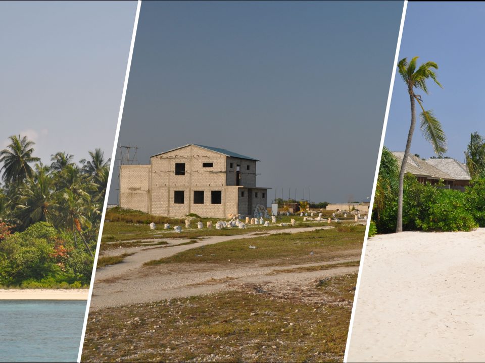
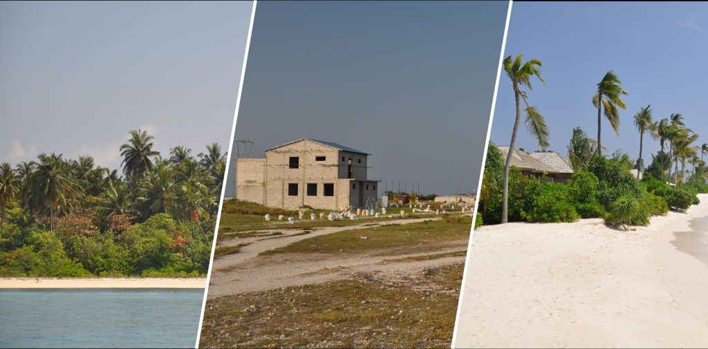
In a recently published study, scientists from the University Bayreuth, in collaboration with RSS, investigated the impact of tourism and urban island development on ground-associated invertebrate […]
August 5, 2020
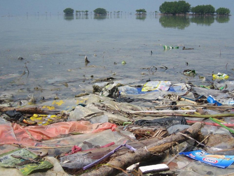
Last year, ESA asked via the Open Space Innovation Platform for innovative ideas to detect and track marine plastic litter using satellites. Marine litter is one […]
July 22, 2020
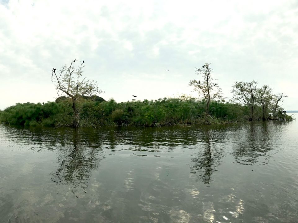
Wetland extent tools for SDG 6.6.1 reporting from the Satellite-based Wetland Observation Service
June 5, 2020
March 31, 2020
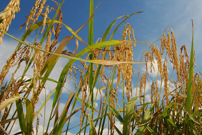
In collaboration with the International Centre of Insect Physiology and Ecology (icipe) in Nairobi (Kenya) and within a BIOVISION funded project, RSS has developed a satellite-based […]
January 10, 2020
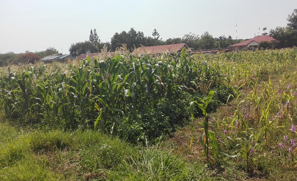
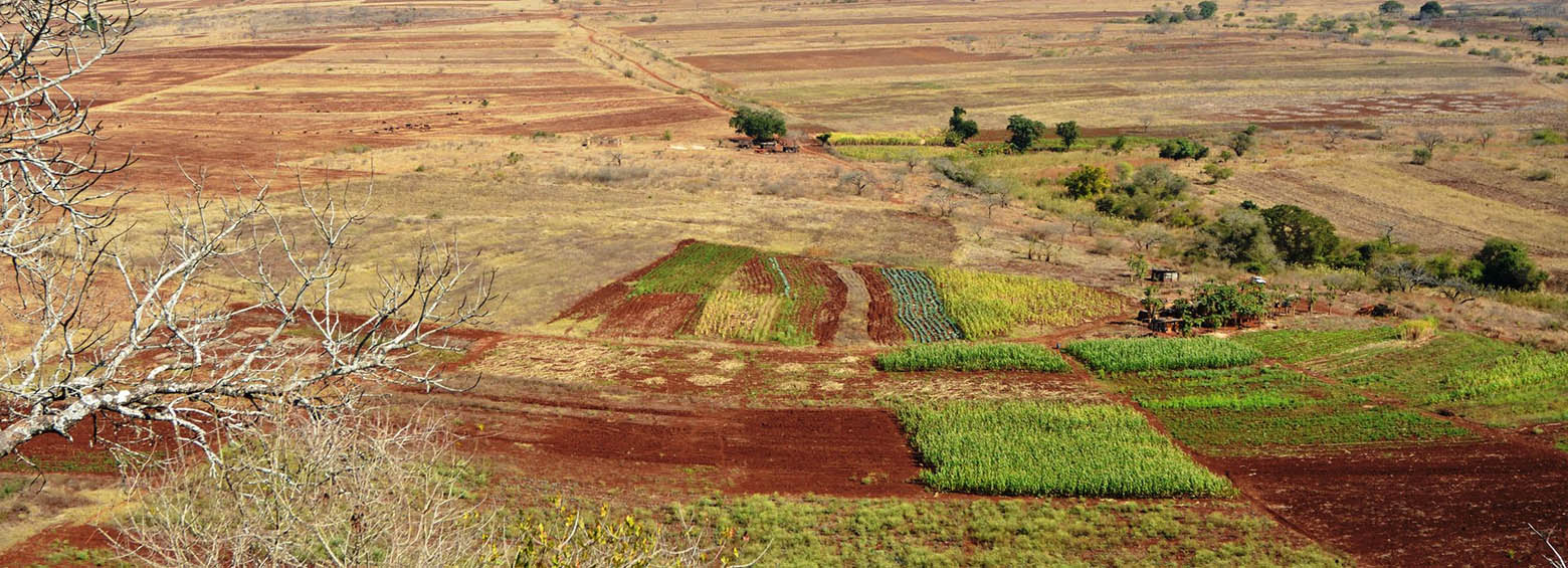
A new study published in collaboration with ICIPE this May looks at the effect of agro-ecological landscape fragmentation and its effect on honey bee habitats in Eastern Kenya.
September 22, 2019
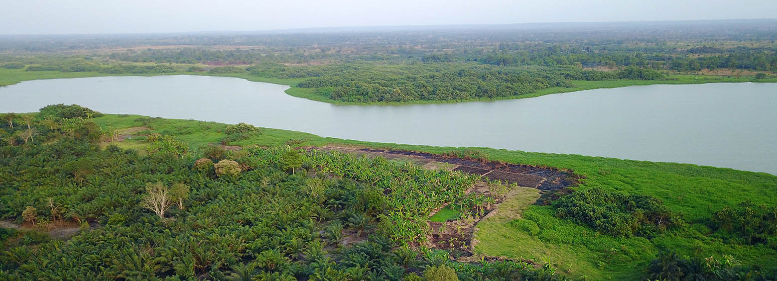
The IMPACTED project aims to understand how agro-forestry systems capture carbon stocks. Project related agro-forestry sites were established as part of a Payments for Ecosystem Services (PES) project incentive scheme in the Sofala Province in Mozambique. PES is an asset-building landscape conservation and climate mitigation strategy that is being increasingly seen as a viable land use option in rural Africa.
May 6, 2019
Climate change has emerged as a major risk factor for global public health acting on its own or modifying the effect of the wide array of the well-studied immediate and intermediate determinants of health. A DFG-funded Research Unit in Public Health studies how weather variability influences three major climate-sensitive health outcomes: (i) childhood undernutrition, (ii) malaria and (iii) heat stress.
