
RECENT ACTIVITIES
Read here more on recent activities and research projects. We actively develop new algorithms for remote sensing image interpretation, mass data processing and new information products based on machine learning and AI. We present new research results at conferences and scientific publications.


ALL NEWS
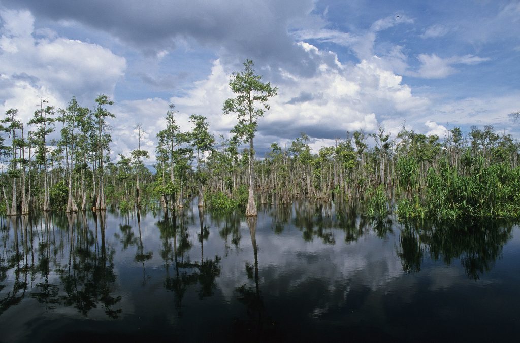
November 25, 2020
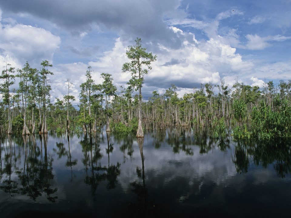
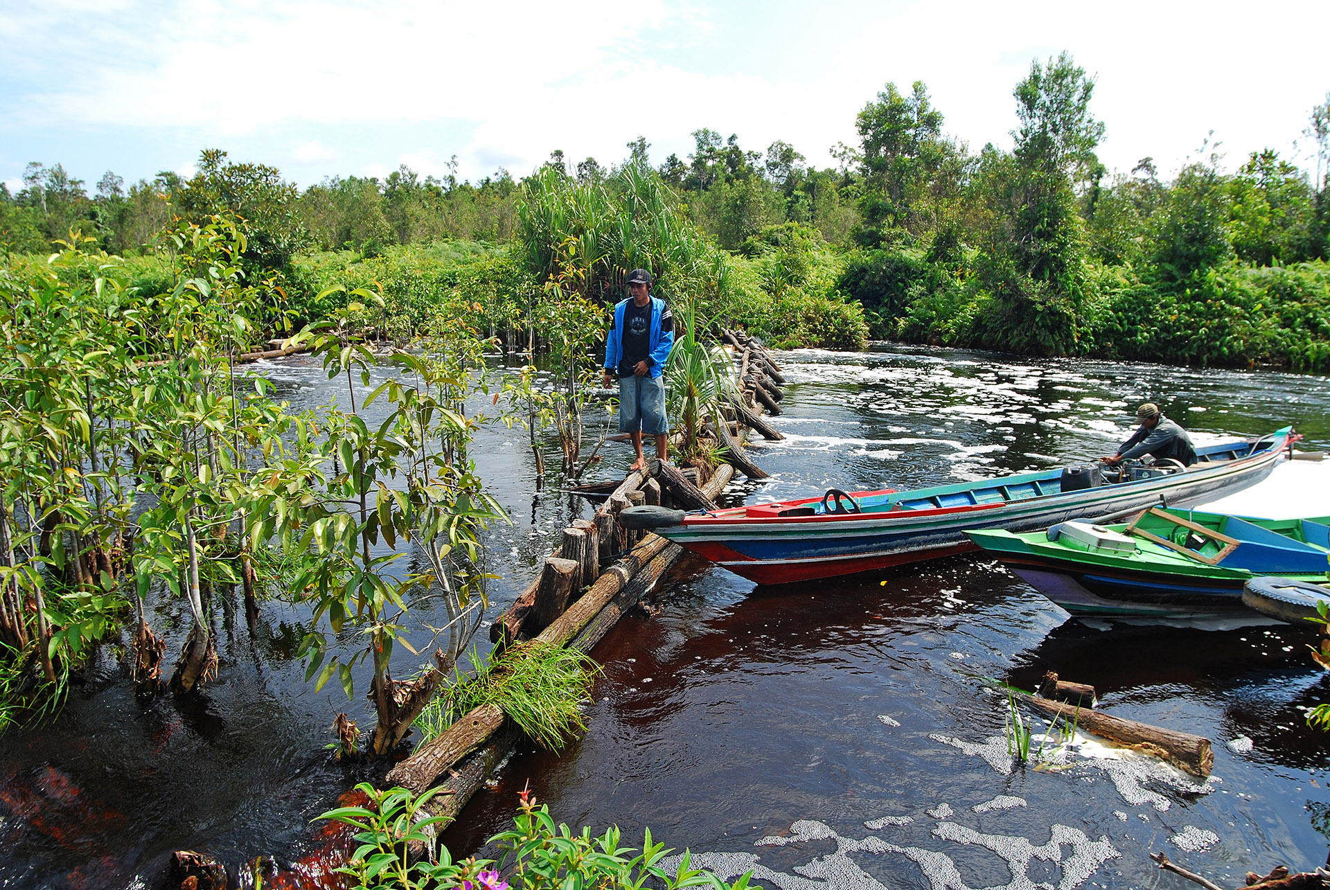
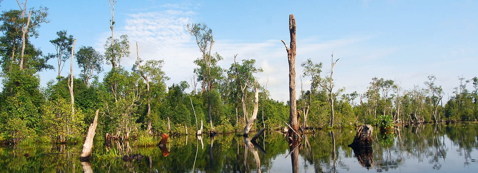
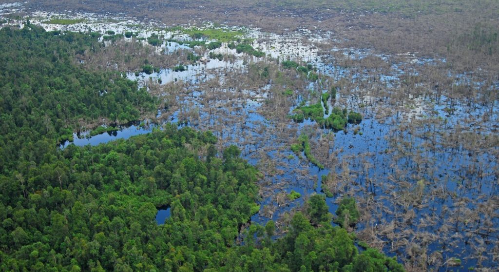
Recently RSS completed an extensive peatland survey in Indonesia: 15 million hectares of peatland across Sumatra, Kalimantan, and Papua were mapped for the Indonesian Peat Restoration Agency (BRG) based on historic and recent satellite imagery as well as topographic data in combination with field measurements of peat depth.
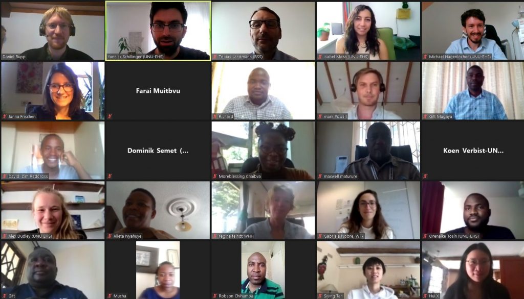
November 11, 2020
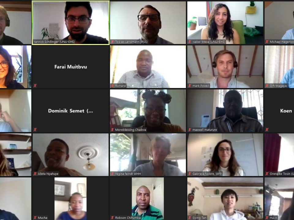
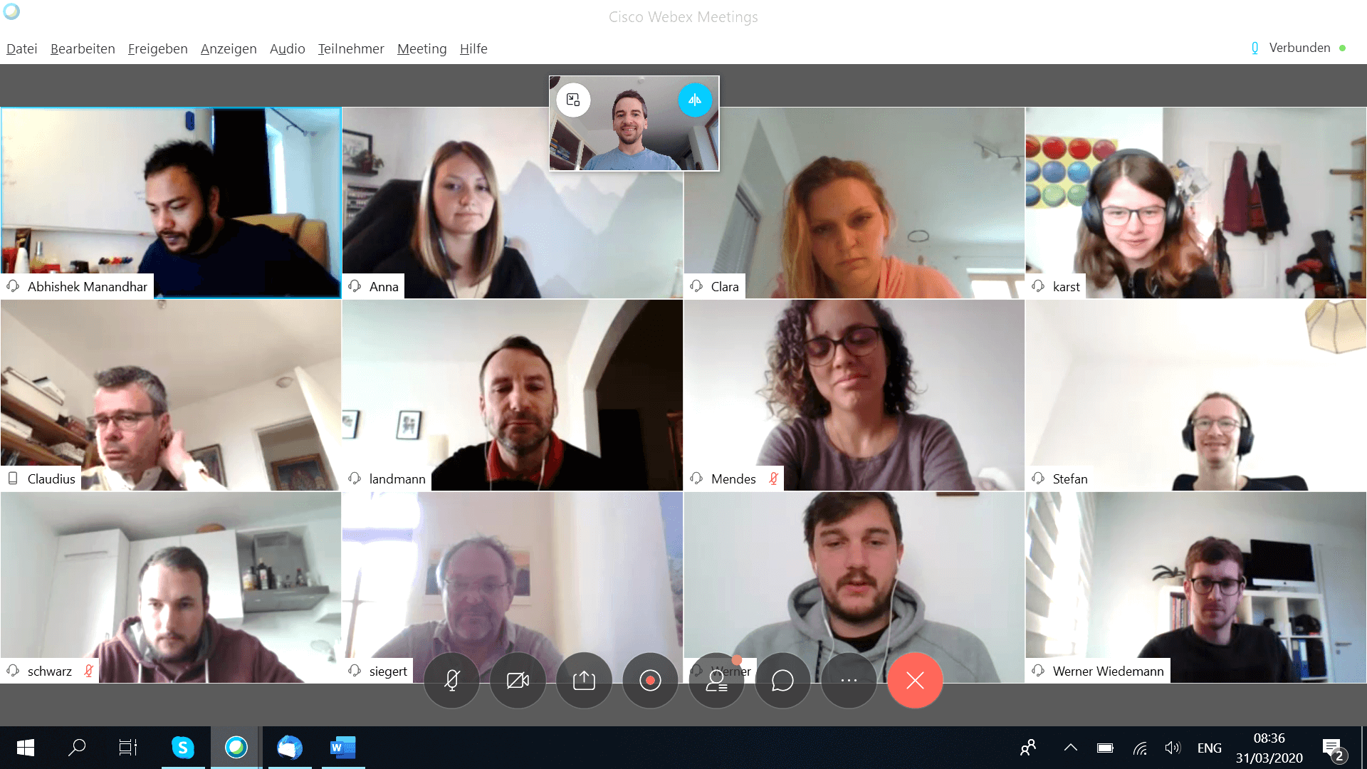
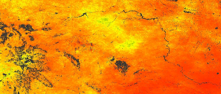
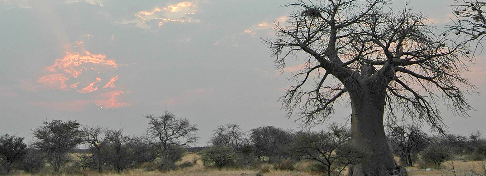
RSS and partners (United Nations University, Welthungerhilfe) successfully held an online webinar, titled ‘Drought risk assessment validation webinar’ for stakeholders in Zimbabwe. The online meeting took […]
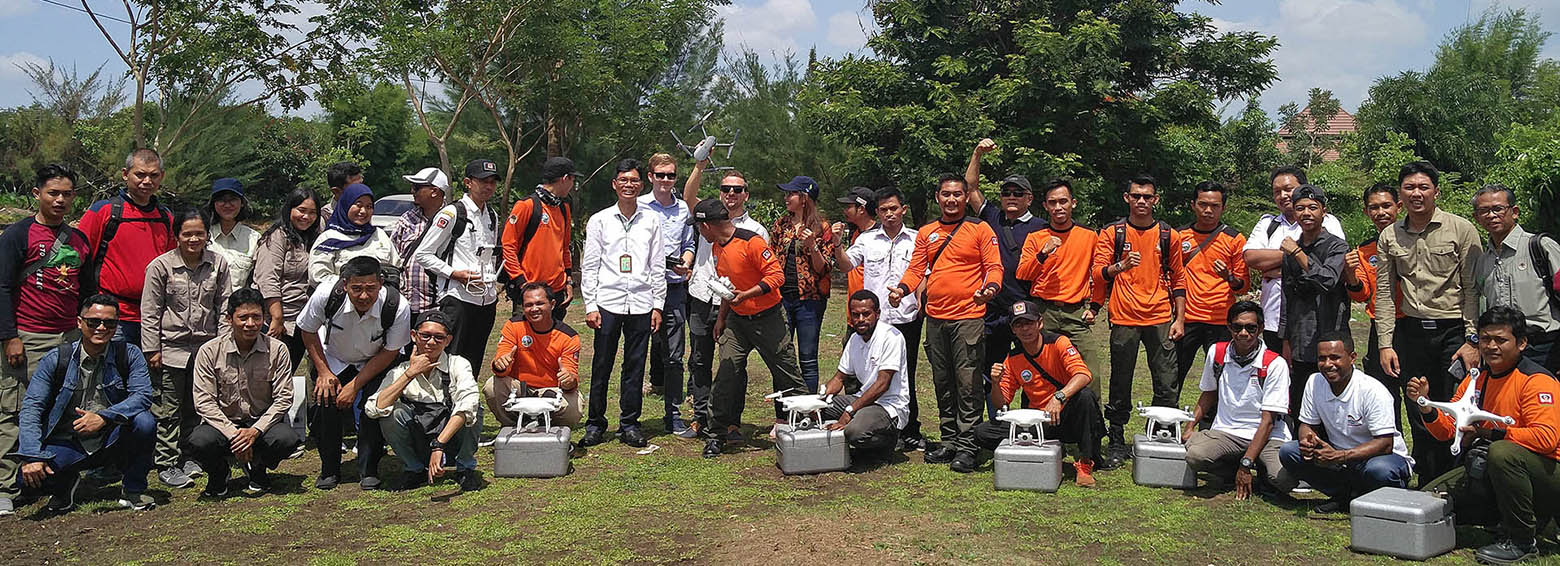
September 1, 2020

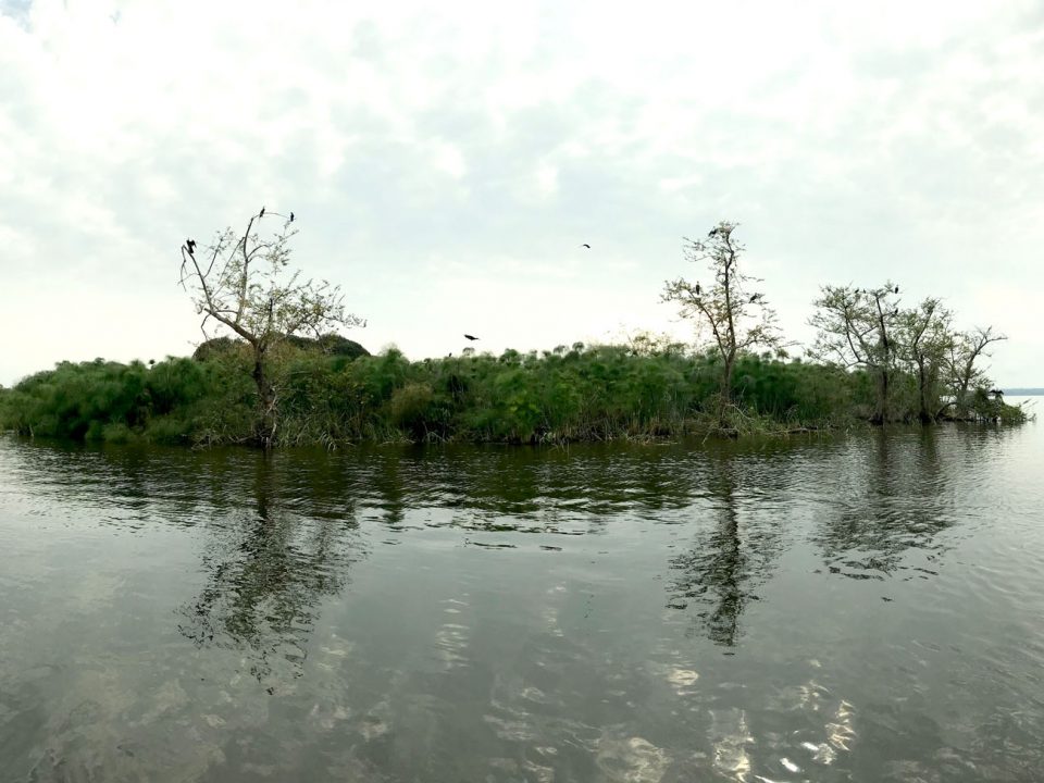
Indonesia hosts the largest tropical peatland areas worldwide. These landscapes represent huge carbon sinks, formed over the last 15.000 years from deposited plant remains, which accumulate […]
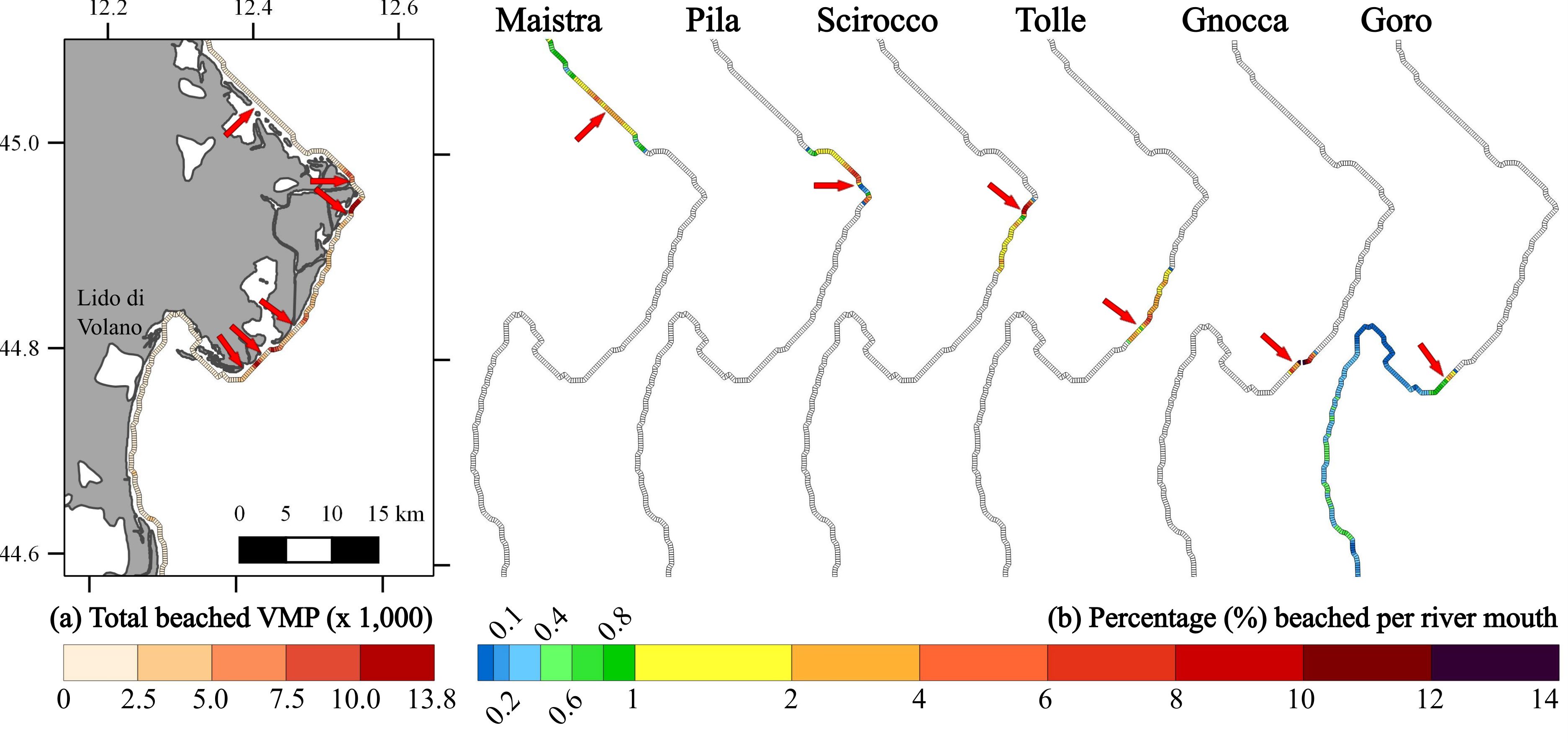
August 5, 2020
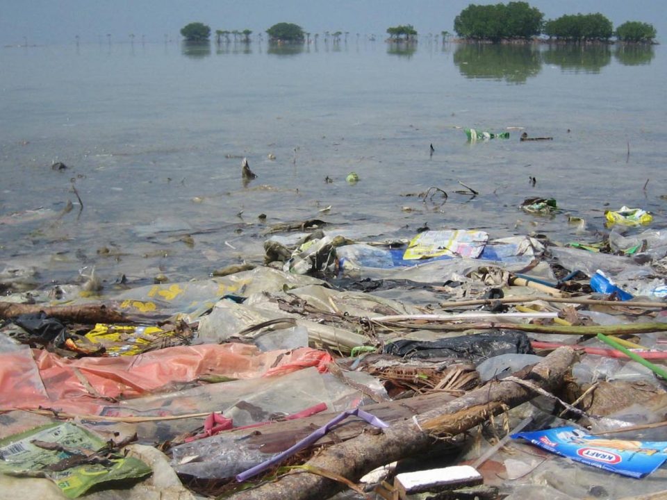
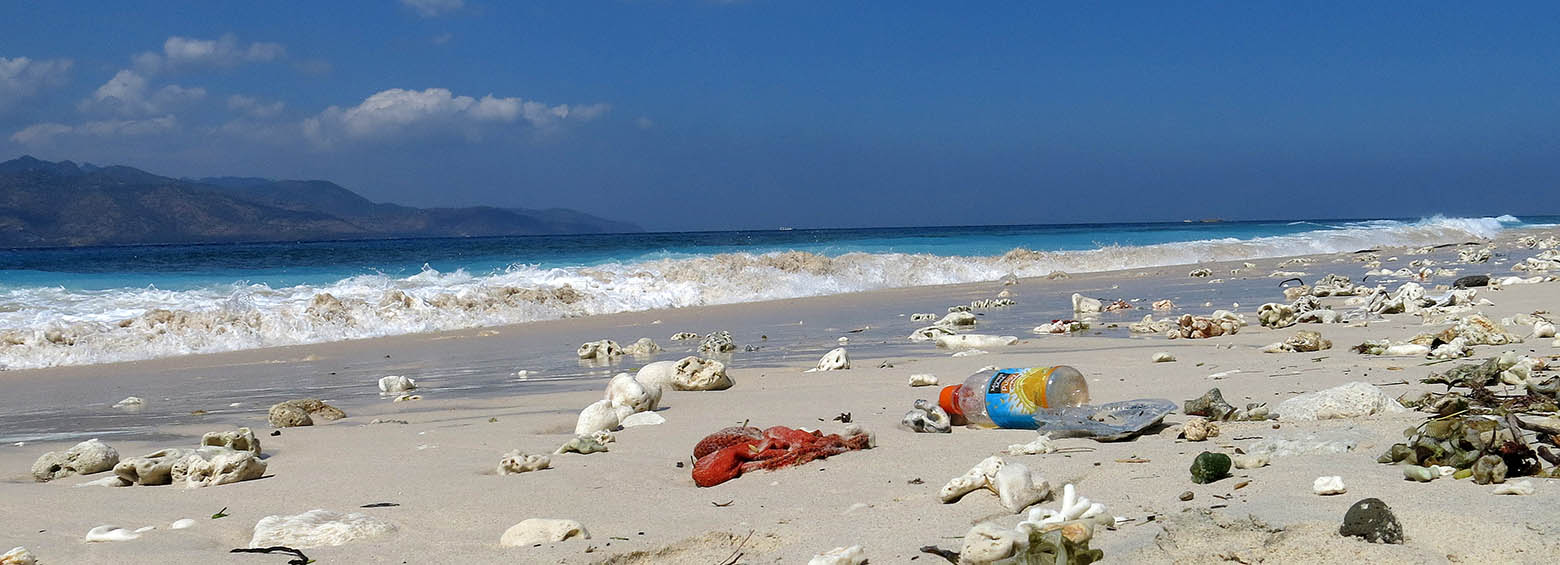
Last year, ESA asked via the Open Space Innovation Platform for innovative ideas to detect and track marine plastic litter using satellites. Marine litter is one […]
July 22, 2020
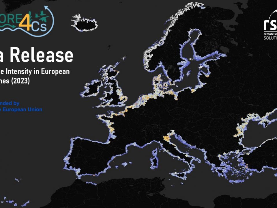
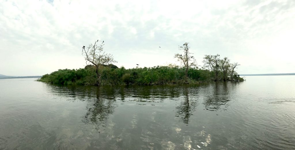
Wetland extent tools for SDG 6.6.1 reporting from the Satellite-based Wetland Observation Service
June 5, 2020
April 1, 2020
The Covid 19 pandemic is a major challenge for us all and requires us to act responsibly. We would like to inform you about the current […]
March 31, 2020
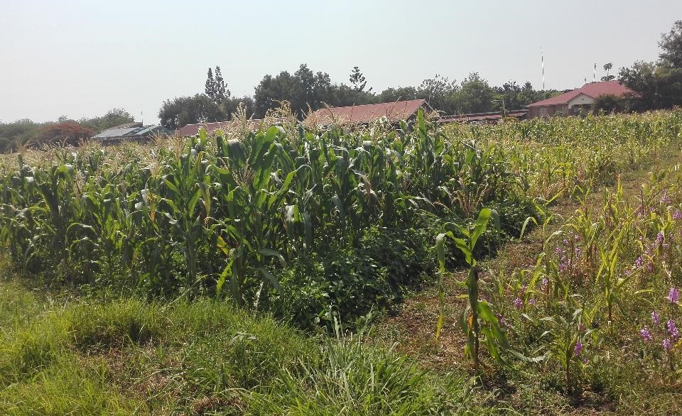
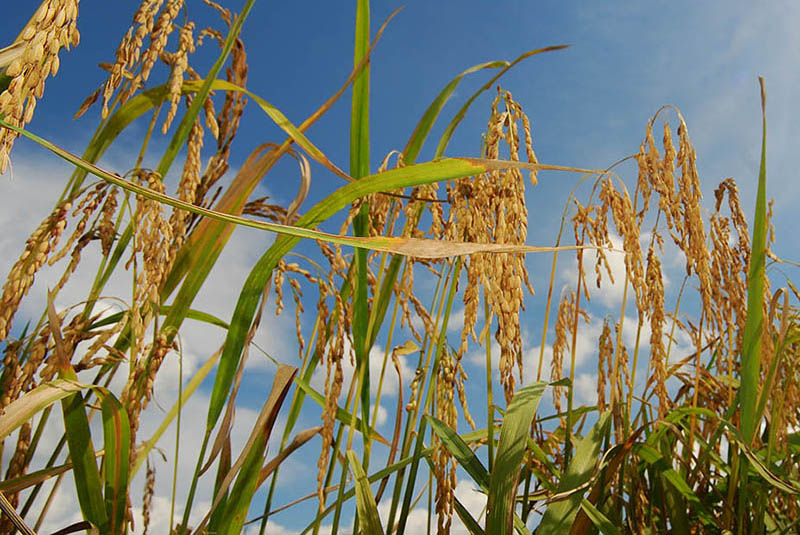
In collaboration with the International Centre of Insect Physiology and Ecology (icipe) in Nairobi (Kenya) and within a BIOVISION funded project, RSS has developed a satellite-based […]
January 10, 2020
A new study published in collaboration with ICIPE this May looks at the effect of agro-ecological landscape fragmentation and its effect on honey bee habitats in Eastern Kenya.

