RECENT ACTIVITIES
Read here more on recent activities and research projects. We actively develop new algorithms for remote sensing image interpretation, mass data processing and new information products based on machine learning and AI. We present new research results at conferences and scientific publications.


ALL NEWS
November 28, 2019
CoExist will monitor environmental-related transhumance patterns and will assess the associated risks for population displacement in Chad and the Central African Republic. The project is a cooperation between RSS and IOM (UN Agency - International Organization for Migration) and is funded by the Federal Ministry for Economic Affairs and Energy via the DLR Space Administration.
November 26, 2019
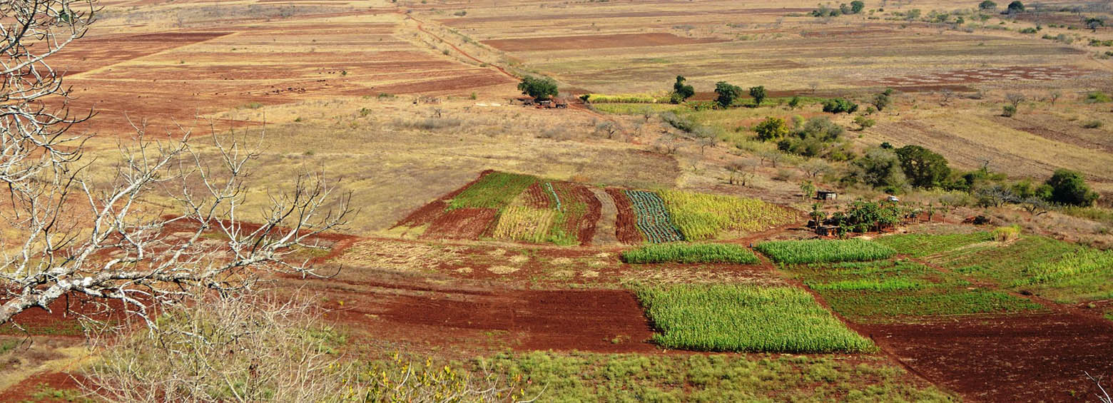
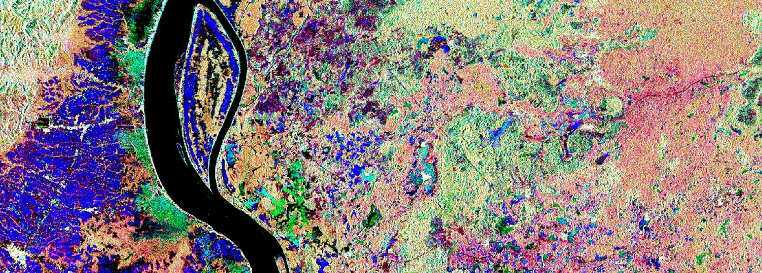
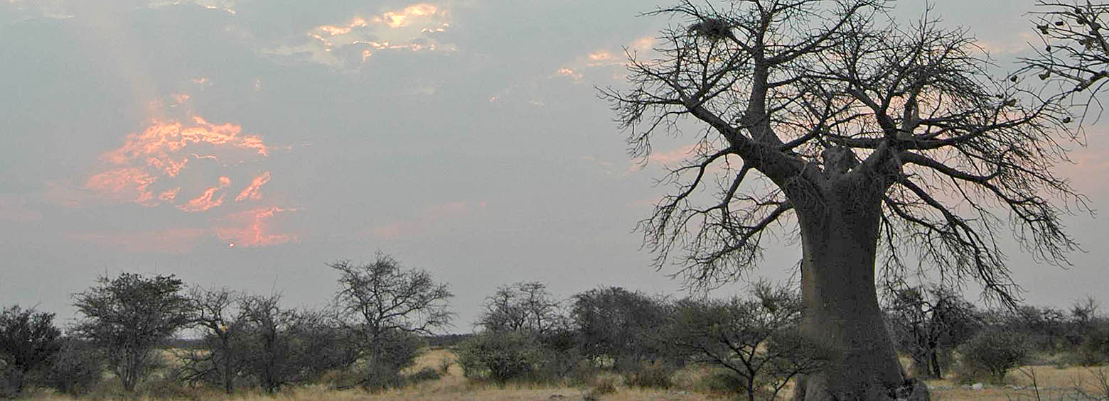
RSS helped develop a satellite-based method that is able to discern the spread of, risk and occurrence areas for Prosopis juliflora and Parthenium hysterophorous over wider areas in Somaliland (Africa). Both invasive species are wide-spread in, particularly, African drylands and negatively affect livelihoods of pastoral and agro-pastoral communities.
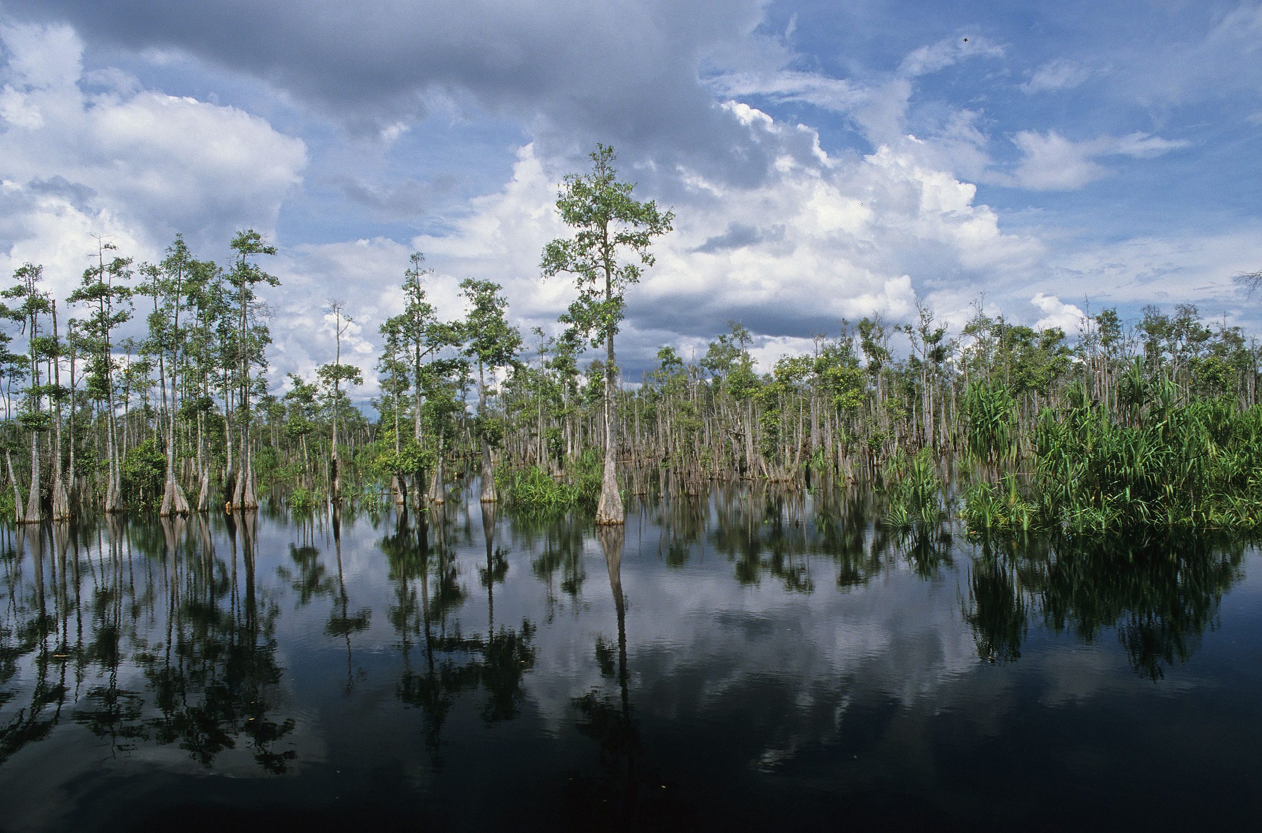
November 21, 2019
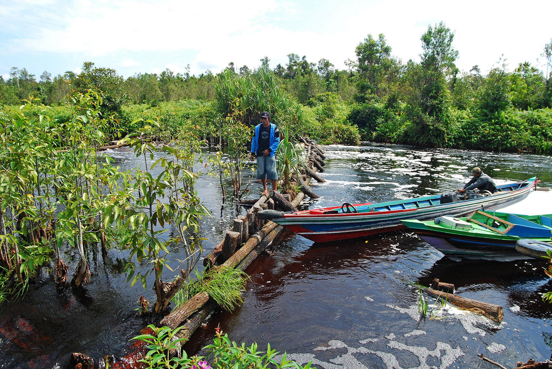
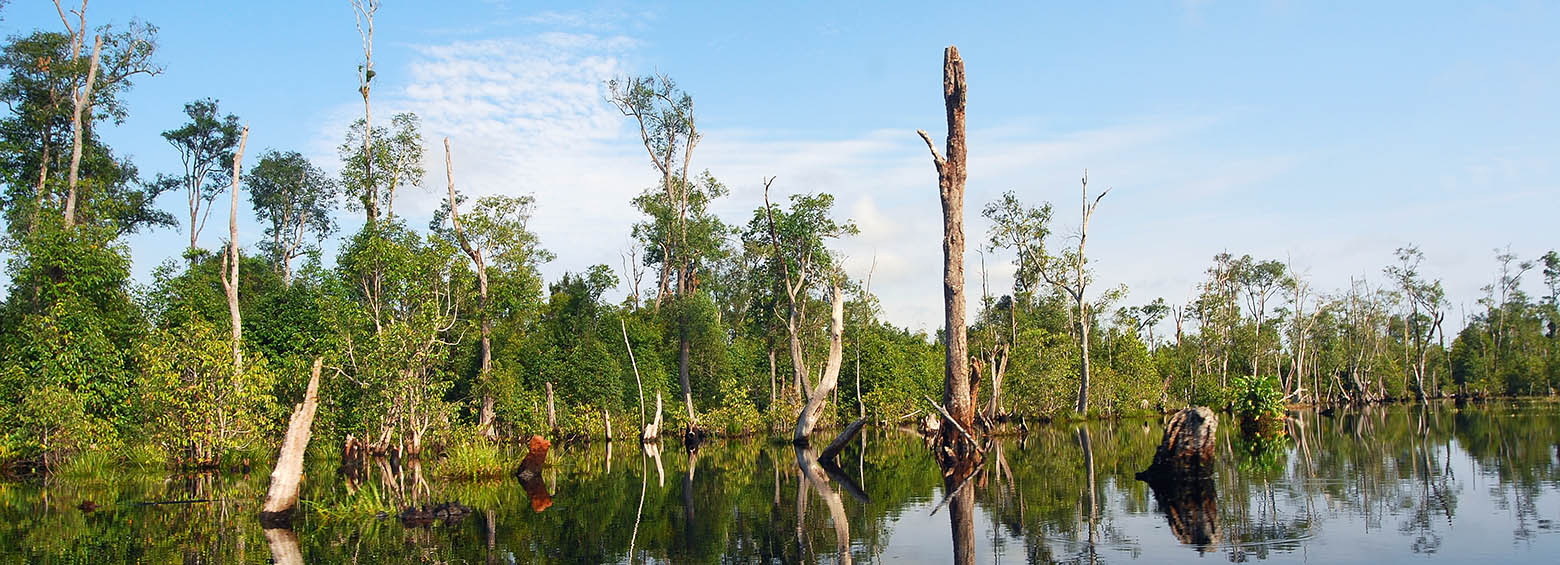
RSS contributed to the Krombacher Climate Protection Project by determining the specific CO₂ emission savings achieved by the peat rewetting activities which were implemented by the WWF in the Sebangau National Park in Borneo, Indonesia.
November 20, 2019
This week, partners from JRC’s GDO, UNCCD and WWF joined the GlobeDrought consortium to discuss the current status of global drought monitoring, best practices and the possibility of future cooperation between organizations.
September 22, 2019
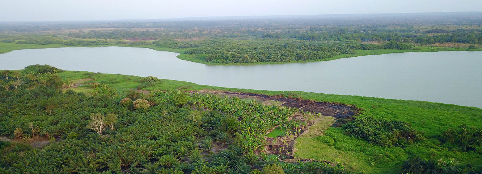
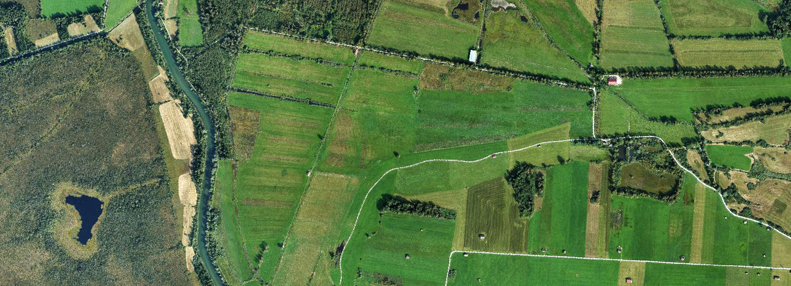
The IMPACTED project aims to understand how agro-forestry systems capture carbon stocks. Project related agro-forestry sites were established as part of a Payments for Ecosystem Services (PES) project incentive scheme in the Sofala Province in Mozambique. PES is an asset-building landscape conservation and climate mitigation strategy that is being increasingly seen as a viable land use option in rural Africa.
September 5, 2019
RSS became a new member of the Global Peatlands Initiative and is now looking forward to contribute to peatland conservation through assessing the status of global peatlands.
June 16, 2019
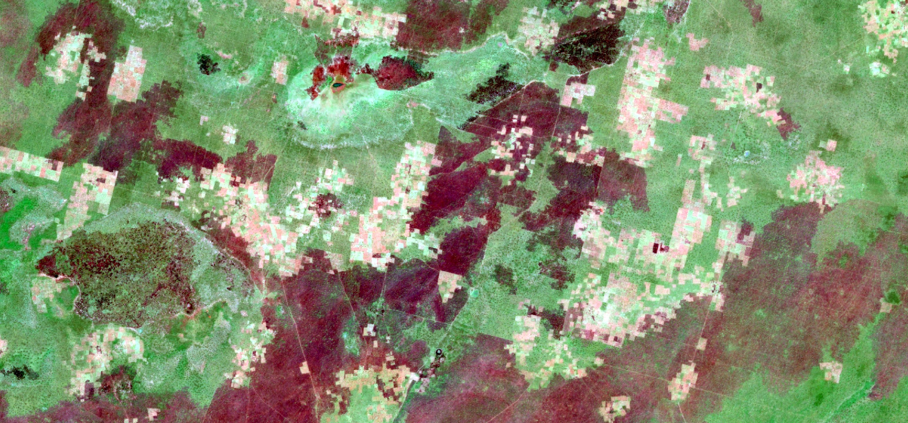
A new study published in collaboration with ICIPE this May looks at the effect of agro-ecological landscape fragmentation and its effect on honey bee habitats in Eastern Kenya.
May 6, 2019
Climate change has emerged as a major risk factor for global public health acting on its own or modifying the effect of the wide array of the well-studied immediate and intermediate determinants of health. A DFG-funded Research Unit in Public Health studies how weather variability influences three major climate-sensitive health outcomes: (i) childhood undernutrition, (ii) malaria and (iii) heat stress.
May 1, 2019
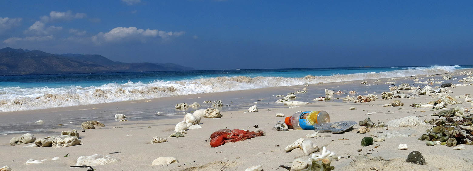
Next week, RSS will be attending the ESA Living Planet Symposium and presenting our work on the coastal accumulation of microplastics. We will also be there to reach out to the scientific community with posters and look forward to meeting you there!