
RECENT ACTIVITIES
Read here more on recent activities and research projects. We actively develop new algorithms for remote sensing image interpretation, mass data processing and new information products based on machine learning and AI. We present new research results at conferences and scientific publications.


ALL NEWS
January 19, 2026
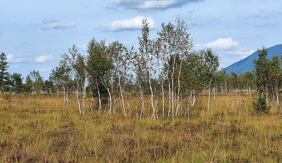
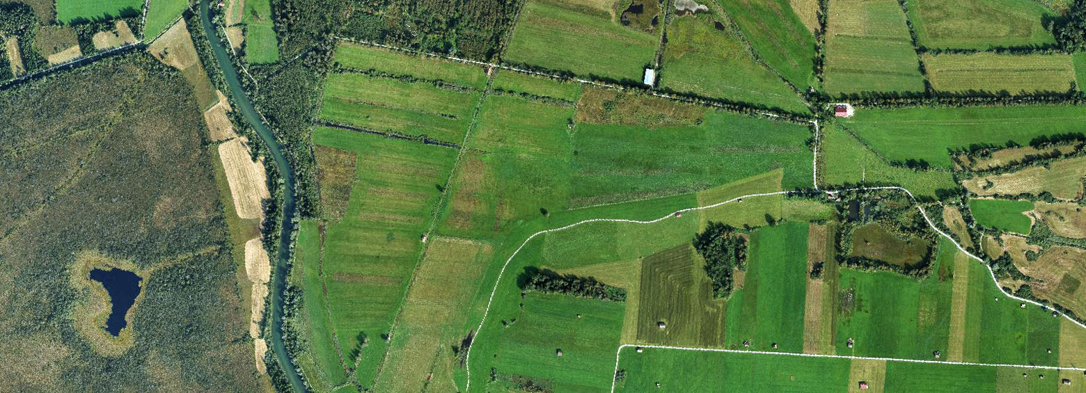
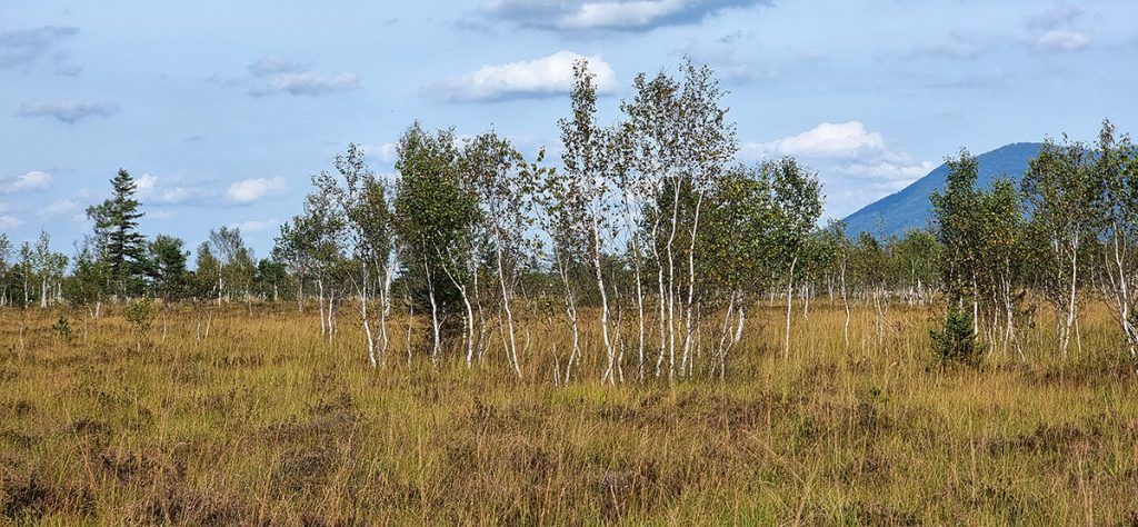
Paving the way towards improved and sustainable peatland forest management in Europe through transparent monitoring of peatland forest management and restoration.
August 6, 2025
Paving the way towards improved and sustainable peatland forest management in Europe through transparent monitoring of peatland forest management and restoration.
August 5, 2025
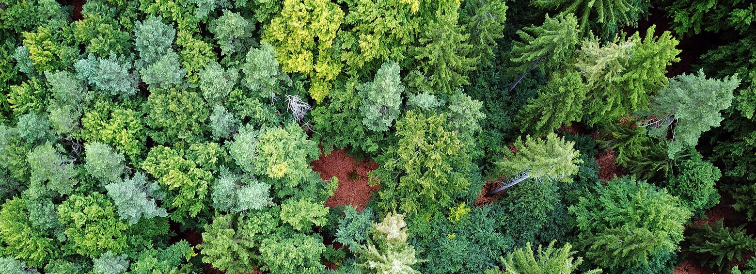
A new framework for holistic forest monitoring in Germany and Europe that takes biodiversity indicators, carbon storage, and the cooling potential of forests into account.
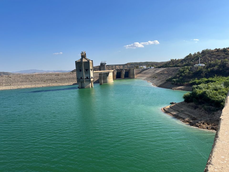
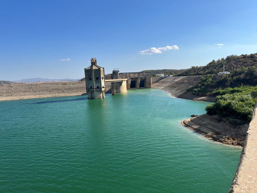
December 20, 2023
Climate change and human impact are causing increasing water security problems in the Mediterranean region. It is therefore becoming more and more important to properly manage […]
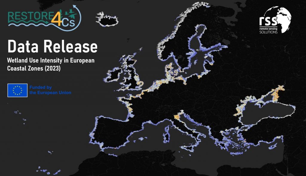
December 19, 2023
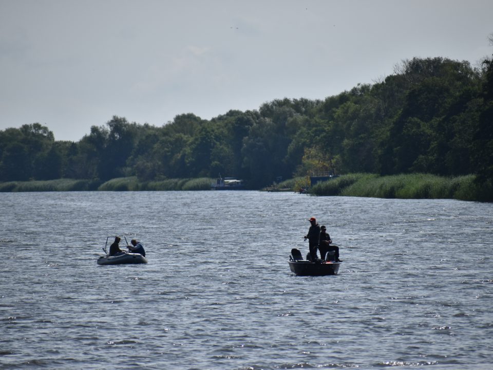
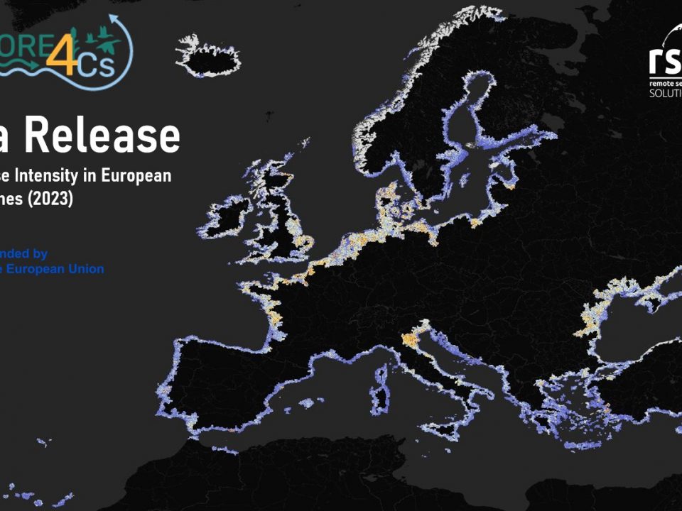
Assessing the capacity of European coastal wetlands to mitigate and adapt to climate change
March 2, 2023
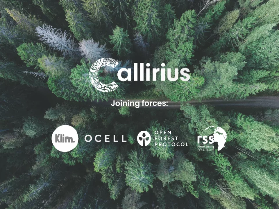
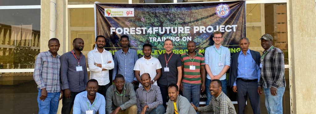
RSS has partnered with Callirius AG and other innovative ventures such as OCELL, Klim GmbH, and Open Forest Protocol to implement cutting-edge digital measurement, reporting, and […]
February 22, 2023
The Federal Ministry of Economics and Climate Protection (BMWK) is funding a new research project entitled Dense Satellite Time Series for Forest Monitoring (DESTSAM)
February 21, 2023
August 15, 2022
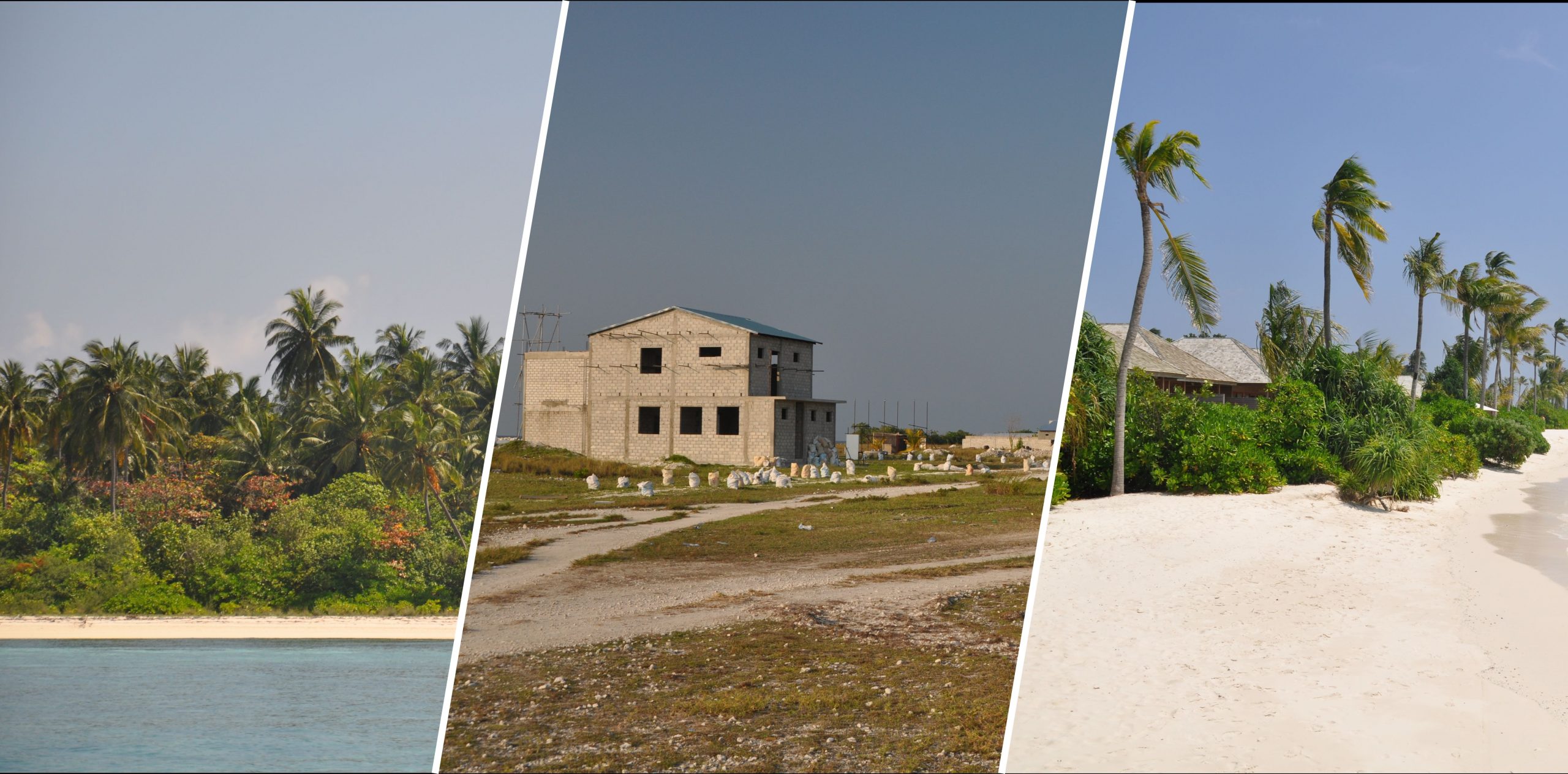
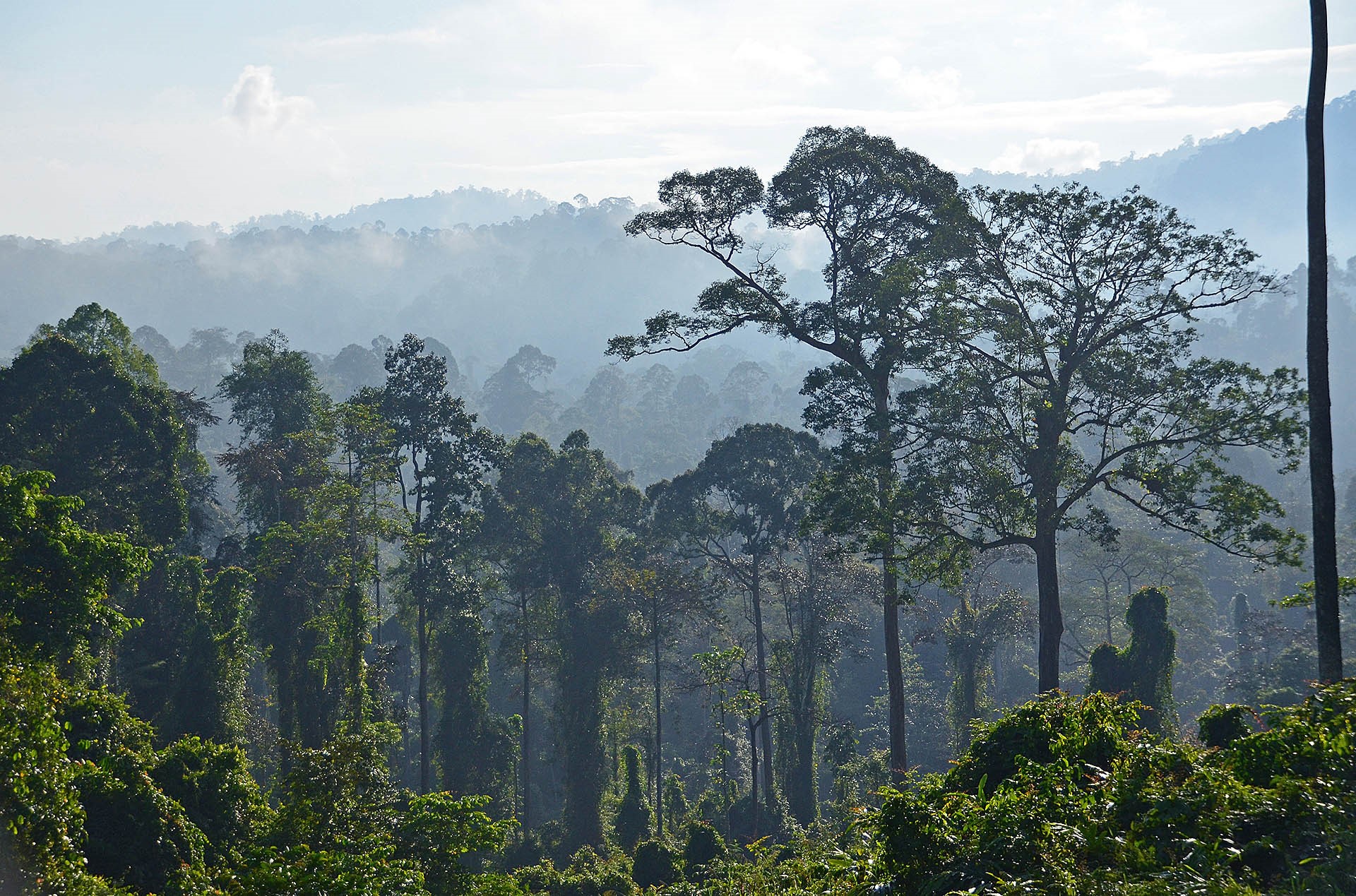
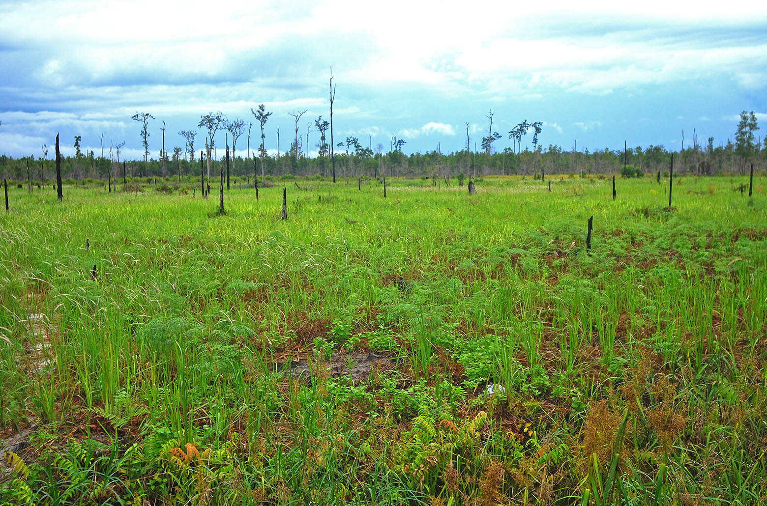
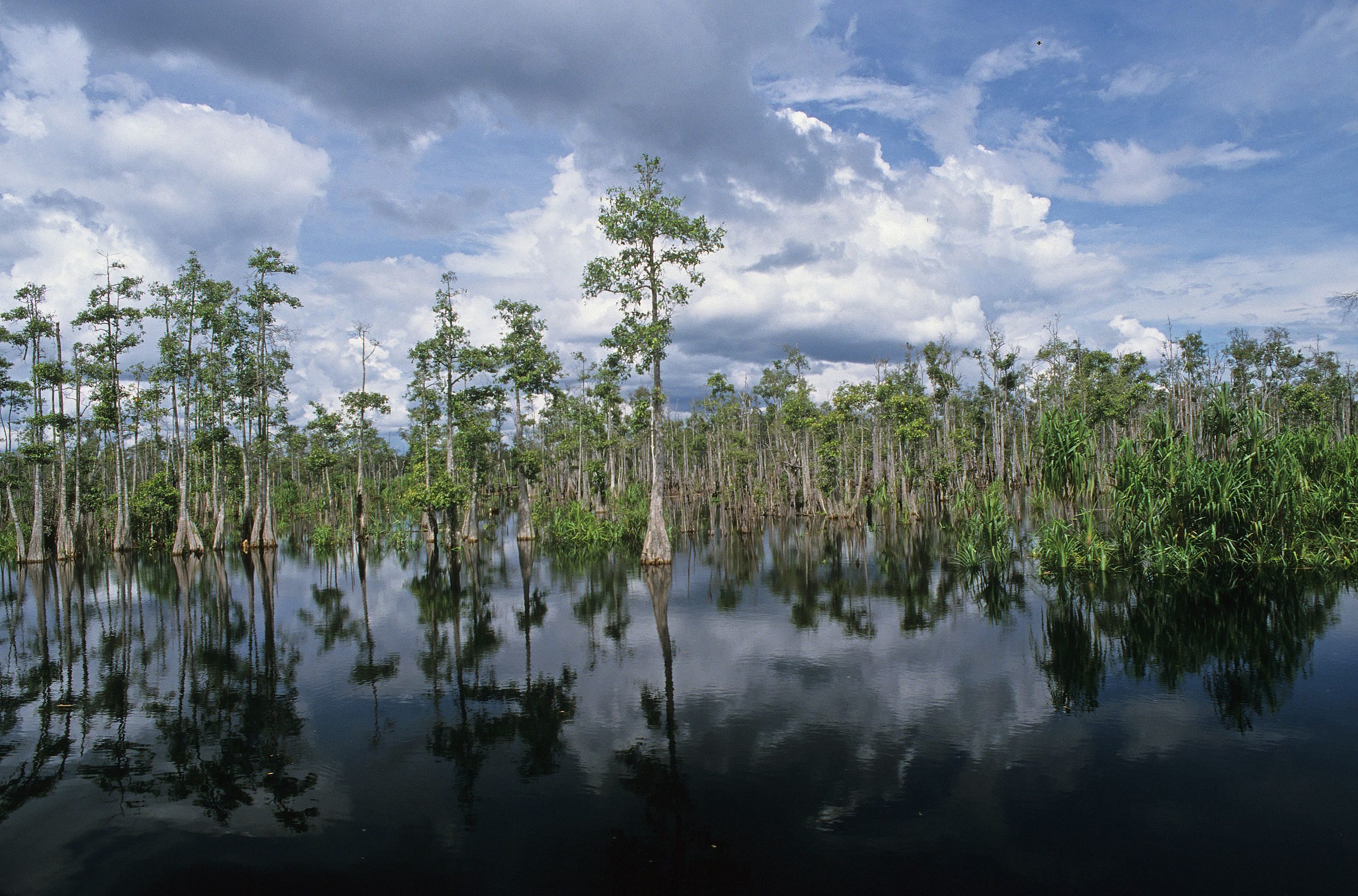
In the Association of South East Asian Nations (ASEAN) region peatlands cover approximately 23,6 million hectares, representing 56% of global tropical peatlands. However, their exact extent in most of these countries is not well known since the identification by field-based methods is time consuming and expensive due to the enormous extent of the countries and additionally due to difficult accessibility of many areas.
