
RECENT ACTIVITIES
Read here more on recent activities and research projects. We actively develop new algorithms for remote sensing image interpretation, mass data processing and new information products based on machine learning and AI. We present new research results at conferences and scientific publications.
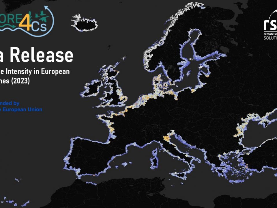


ALL NEWS
April 30, 2022
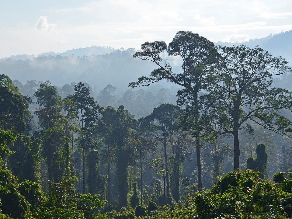
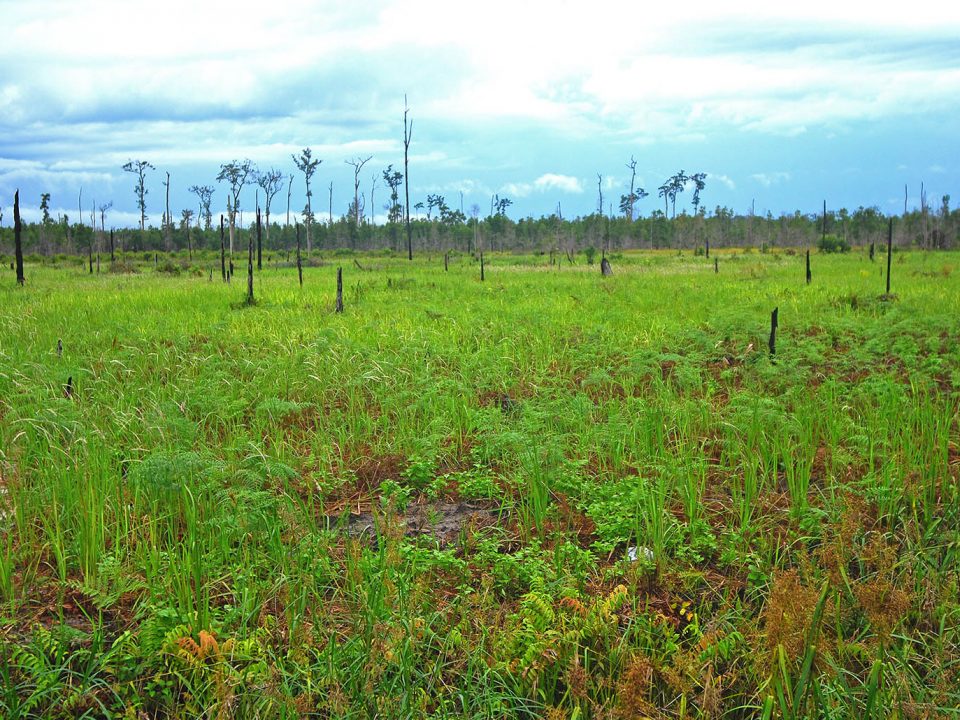
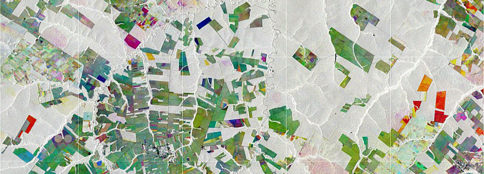
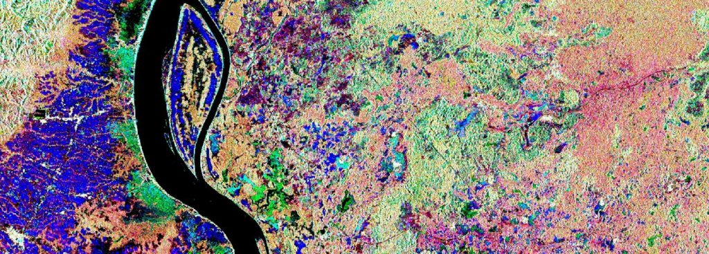
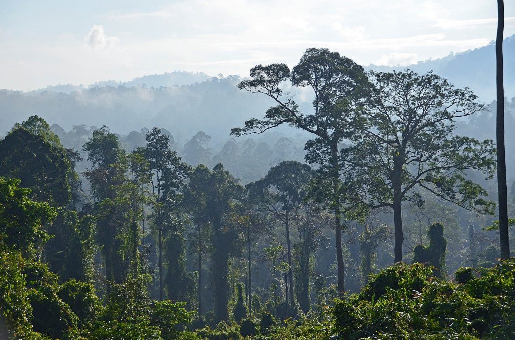
In the Association of South East Asian Nations (ASEAN) region peatlands cover approximately 23,6 million hectares, representing 56% of global tropical peatlands. However, their exact extent in most of these countries is not well known since the identification by field-based methods is time consuming and expensive due to the enormous extent of the countries and additionally due to difficult accessibility of many areas.
March 31, 2022
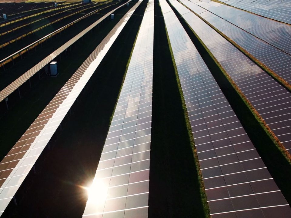
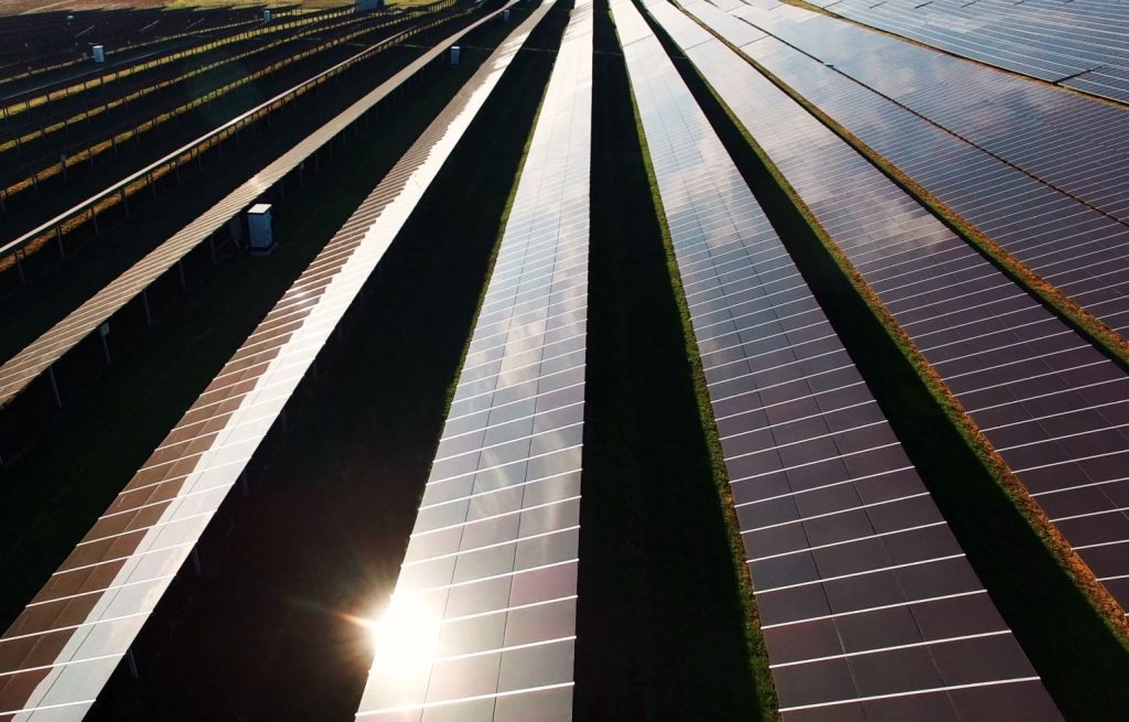
In the EUREKA EUROSTARS research project MuSe3D we developed together with four other European partners a five-band multispectral camera for use on conventional drones. Compared to […]
February 10, 2022
December 5, 2021

Introduction In cooperation with the International Organization of Migration (DLR), RSS has successfully completed the project CoExist, which was funded by the German Aerospace Center (DLR) […]
October 19, 2021
September 8, 2021
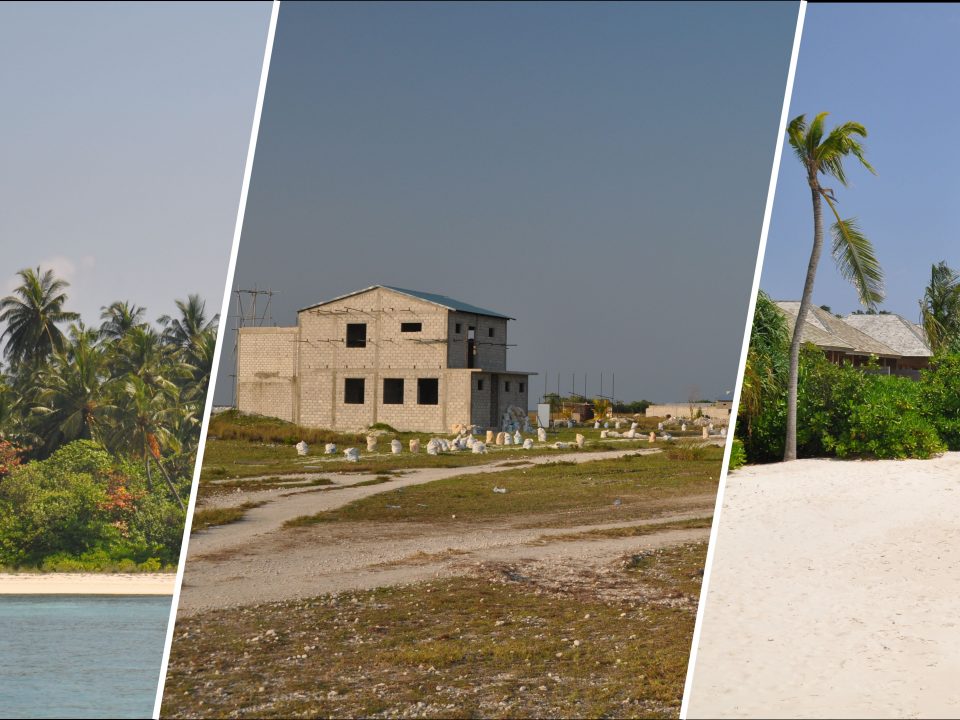
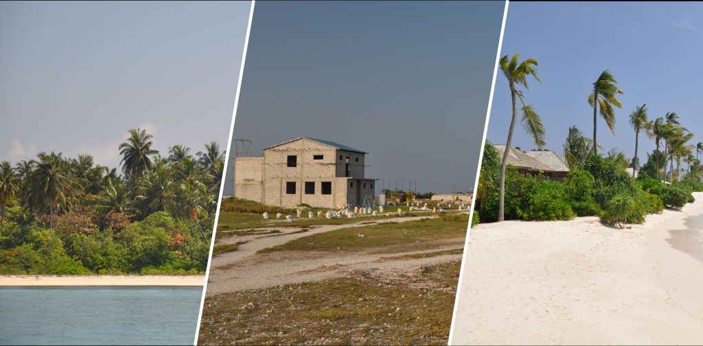
In a recently published study, scientists from the University Bayreuth, in collaboration with RSS, investigated the impact of tourism and urban island development on ground-associated invertebrate […]
August 9, 2021

May 5, 2021
April 27, 2021
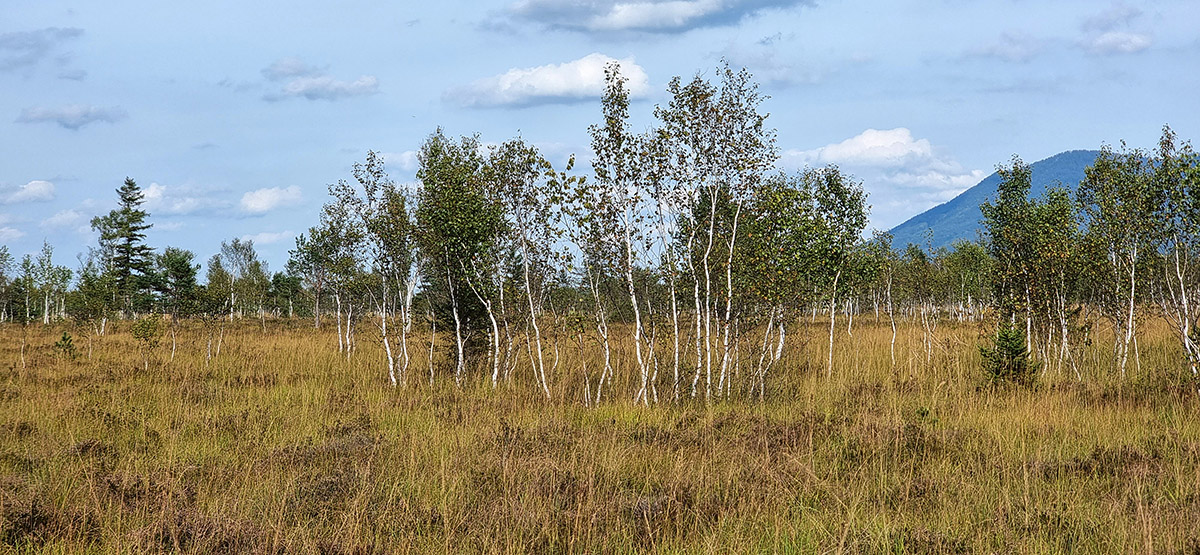
RSS recently published a study focusing on the identification of ombrogenous peat domes. In this study an approach to model the surface of convex shaped peat domes in Indonesia using freely available satellite LiDAR data from ICESat-2/ATLAS, which was launched in 2018, was developed.


