RECENT ACTIVITIES
Read here more on recent activities and research projects. We actively develop new algorithms for remote sensing image interpretation, mass data processing and new information products based on machine learning and AI. We present new research results at conferences and scientific publications.


ALL NEWS
June 6, 2018
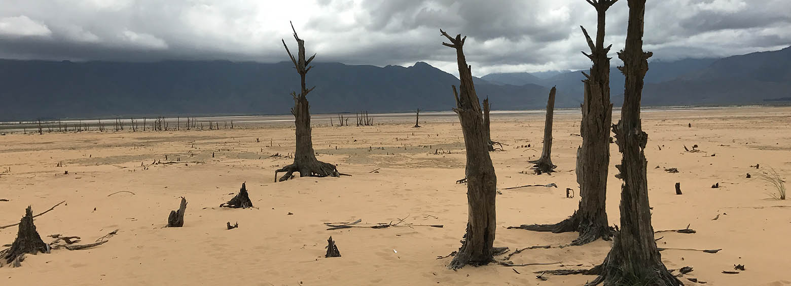
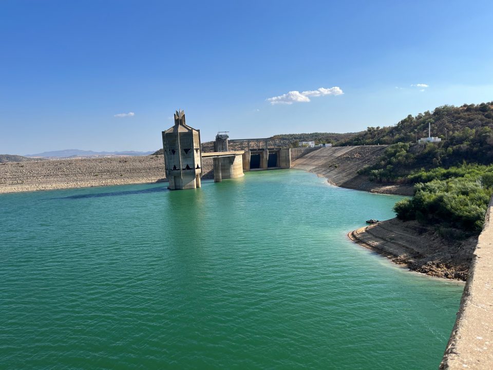
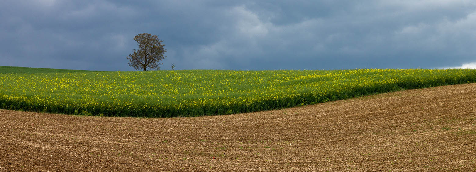
Drought events pose a threat to crop productivity, can cause socioeconomic impacts such as decreased farmer income, and may even result in the need for international food aid. GlobeDrought combines spatially explicit, historical information on drought hazard, exposure and vulnerability from meteorological, agricultural, hydrological and socioeconomic sources to provide reliable and comprehensive information on drought risk at a global level.
April 25, 2018
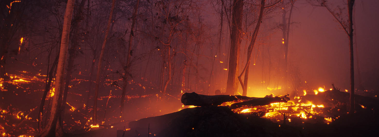
The ESA Fire CCI project focuses on the development of long time series of burned area constructed from multi sensor satellite data. It is part of the Climate Change Initiative (CCI) of the European Space Agency (ESA). As a project partner, RSS produced the first spatial estimates of burned area for the fire prone year 2015 using on high-resolution Sentinel-1 SAR imagery.
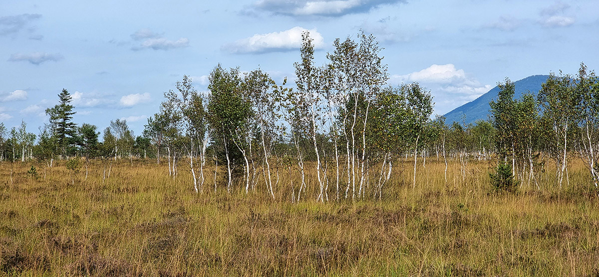
April 12, 2018
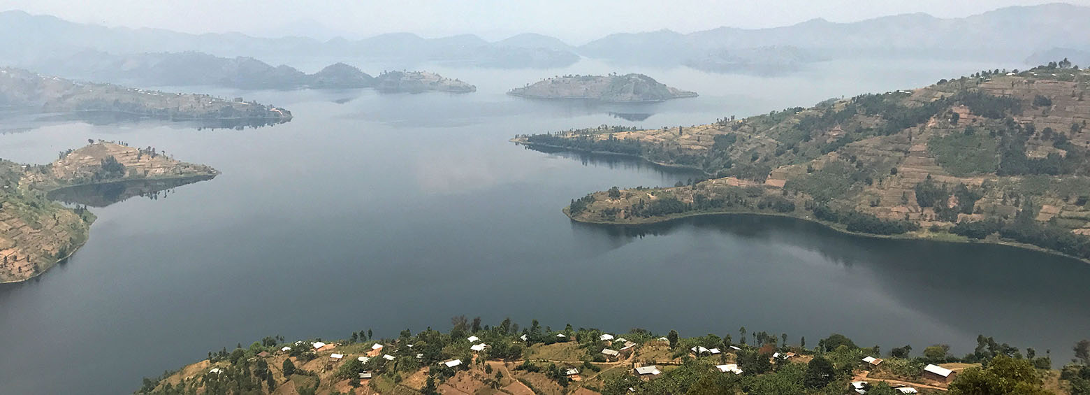
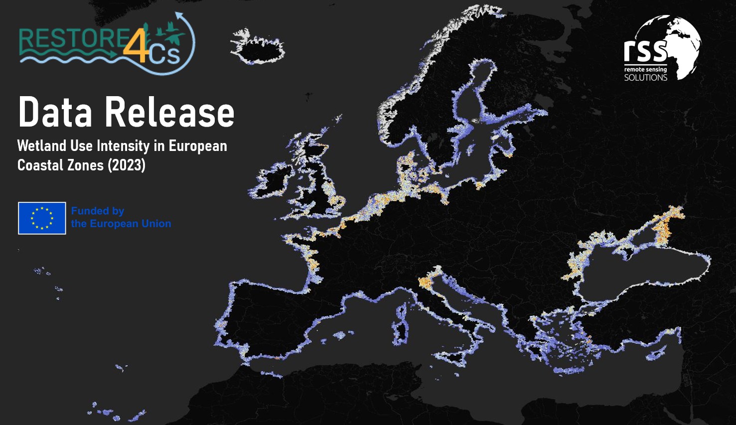
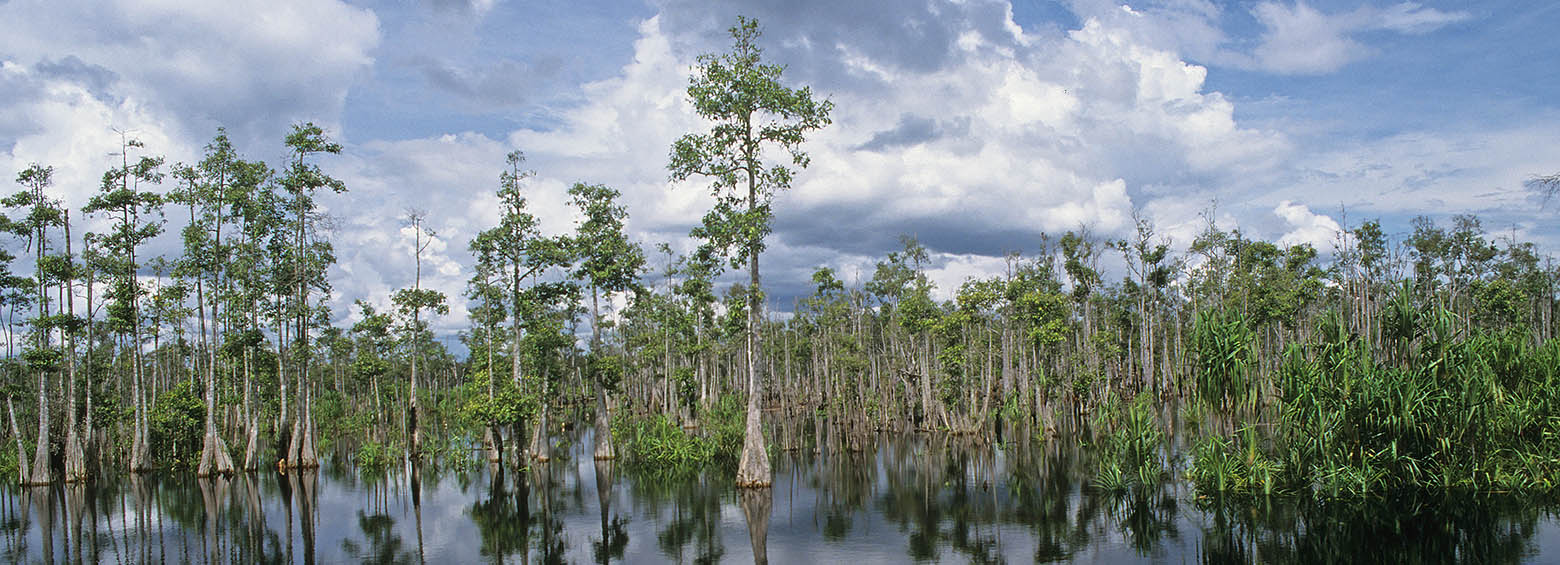
Demo-Wetlands is a research project, designed to explicitly address the need of international conventions for standardized methods of wetland monitoring by satellite remote sensing. As these fragile ecosystems are facing increasing pressure through global warming, pollution, overuse and land use change, up to date information on the state of global wetlands are key to support their protection.
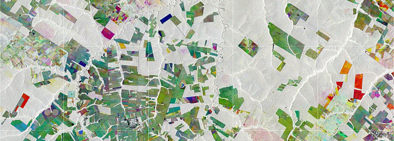
March 12, 2018
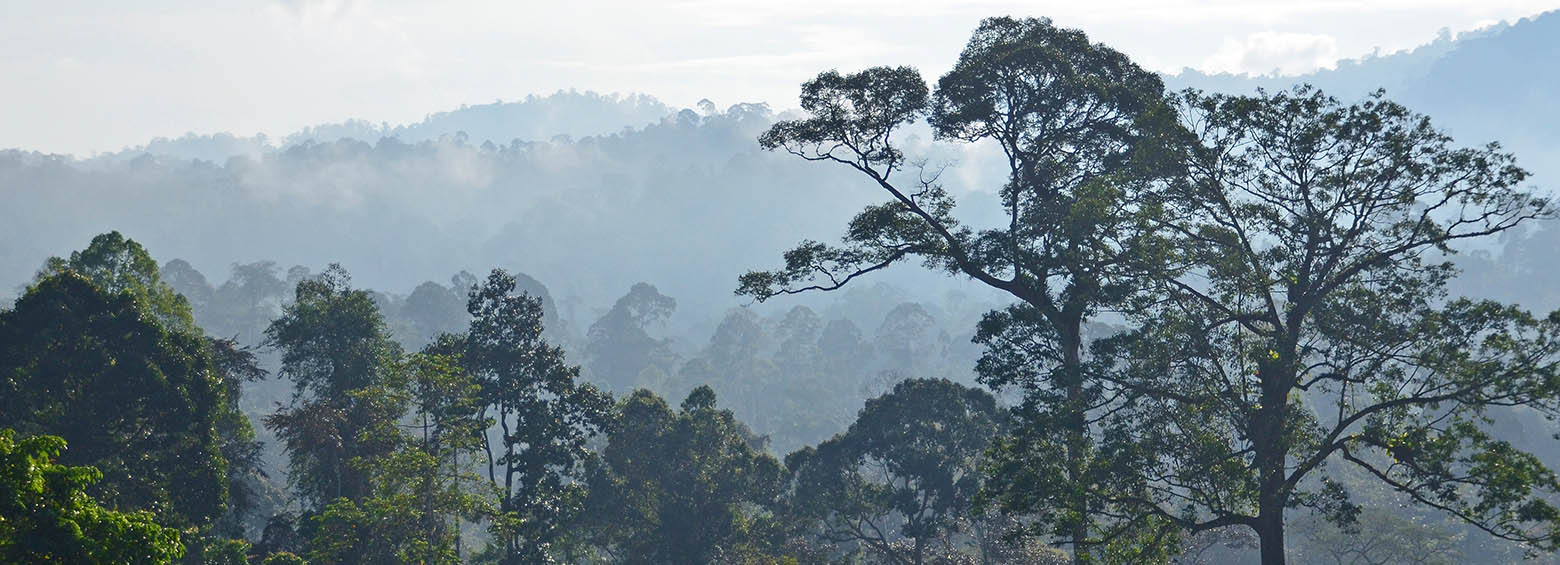
The international research project Pol-InSAR4AGB focused on the development of algorithms and the creation of process chains for the integrative use of multi-sensor X- and C-band SAR data using Pol-InSAR techniques for the determination of forest height and above-ground biomass in tropical forests.
February 15, 2018
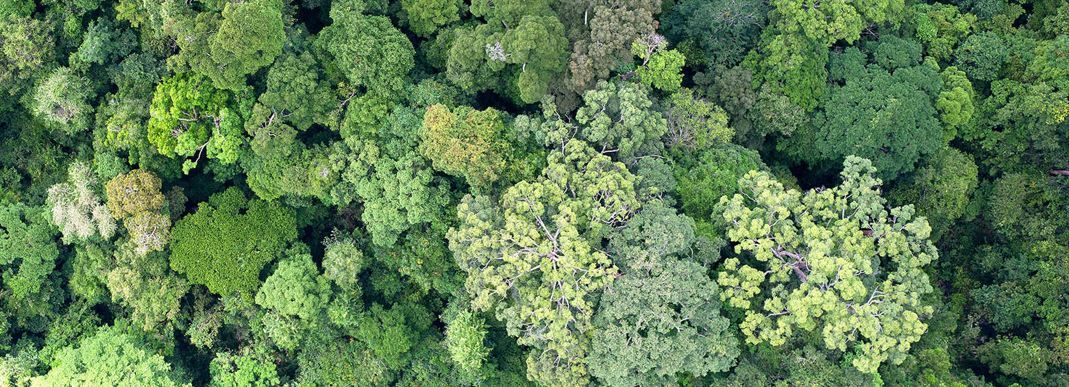
Biomass is a fundamental biophysical variable that quantifies the Earth’s living vegetation. It has profound social and economic importance as a source of materials and energy, and its state, dynamics and resilience have impacts on the whole Earth system. The main purpose of the GlobBiomass project was to better characterize and to reduce uncertainties of above ground biomass estimates.
February 10, 2018
Today, on the World’s Wetlands Day, Indonesia’s Geospatial Information Agency (BIG) announced that the International Peat Mapping Team, led by Remote Sensing Solutions GmbH (RSS), is the winner of the USD $1 million Indonesian Peat Prize.
February 3, 2018
We are very pleased to announce that RSS, as lead of the International Peat Mapping Team, won the 1 Million USD Indonesian Peat Prize challenge! The competition aimed to find a new, more accurate and efficient way of mapping tropical peatland extent and thickness.
January 6, 2018
The research project SOCmonit focuses on development of methods to standardize the spatio-temporal monitoring of soil organic carbon (SOC) within long-term field experiment (LTFE) sites using spectral measurements from remote sensing and proximal soil detection.
December 12, 2017
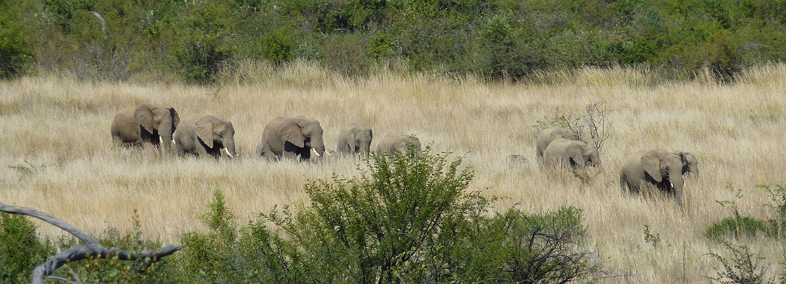
CapeOutdoors3D prototyped a web application for tourists planning outdoor activities in Nature Reserves and National Parks in South Africa. The project linked the space technologies Earth Observation and GPS Satellite Navigation with the aim to provide a 3D virtual reality planning and navigation tool for tourists.