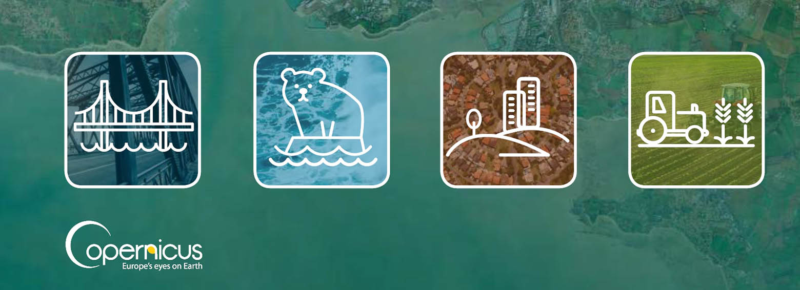
RECENT ACTIVITIES
Read here more on recent activities and research projects. We actively develop new algorithms for remote sensing image interpretation, mass data processing and new information products based on machine learning and AI. We present new research results at conferences and scientific publications.


ALL NEWS
April 5, 2019
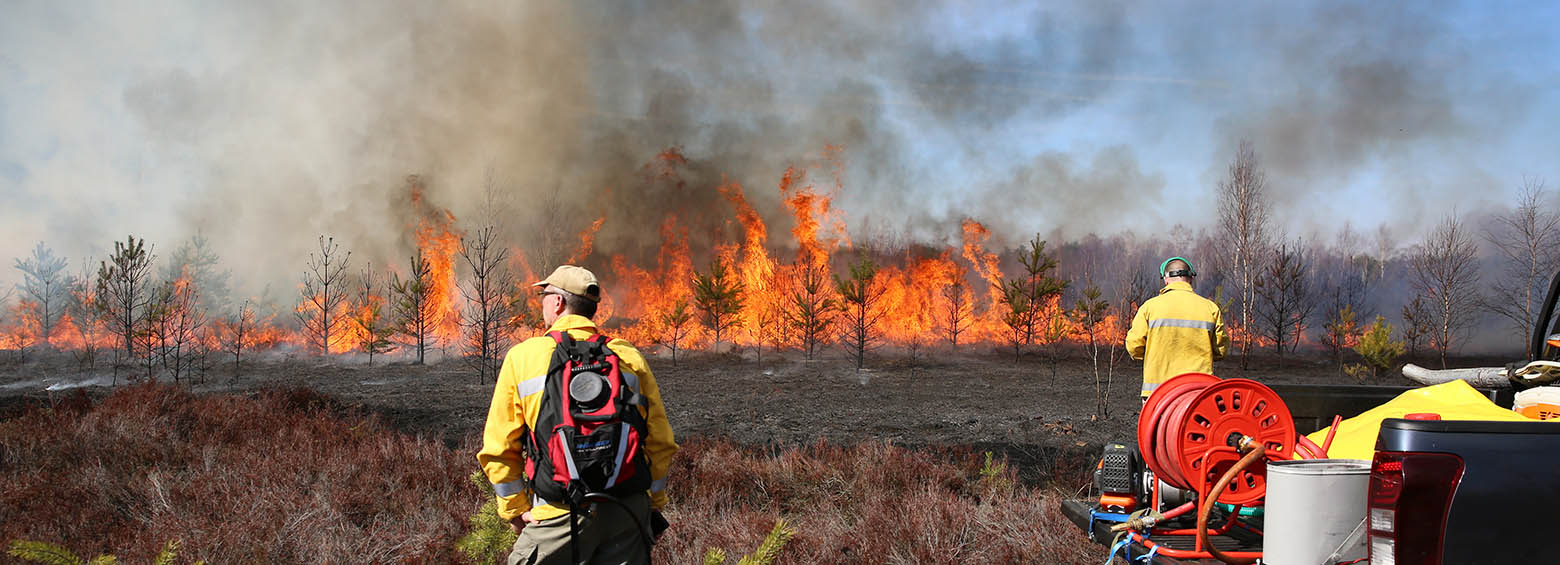
RSS is currently contributing to new research on fire detection and management technology, driven by the project "FireSense" and our drone was out recording infrared footage over a controlled burn in Brandenburg.
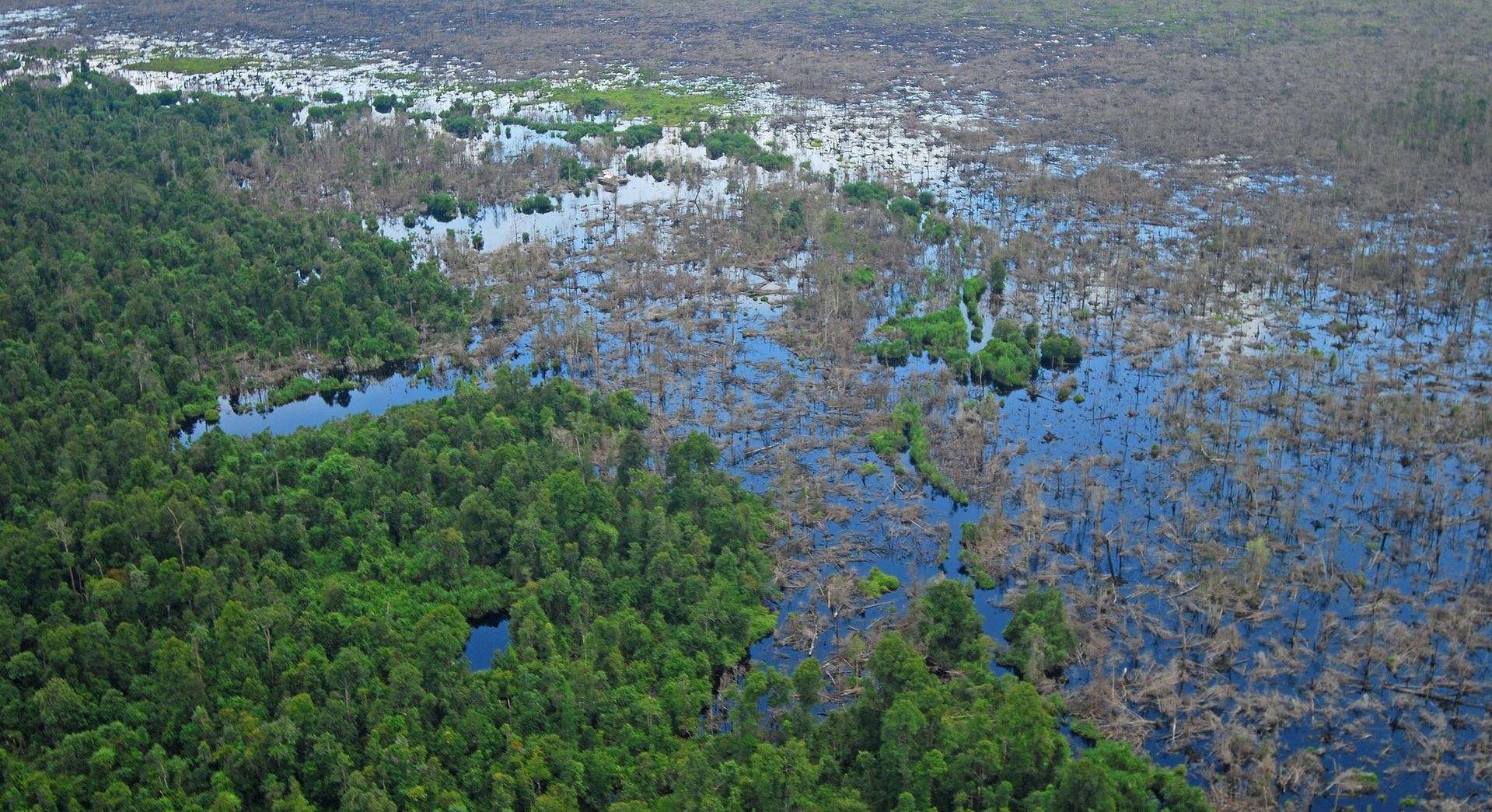
March 21, 2019

Enhanced wetland monitoring, assessment and indicators to support European and global environmental policy is the title of the SWOS policy report that identifies the links between the Horizon 2020 Satellite-based Wetland Observation Service (SWOS) project outcomes and existing policy frameworks at European and global levels.
February 5, 2019
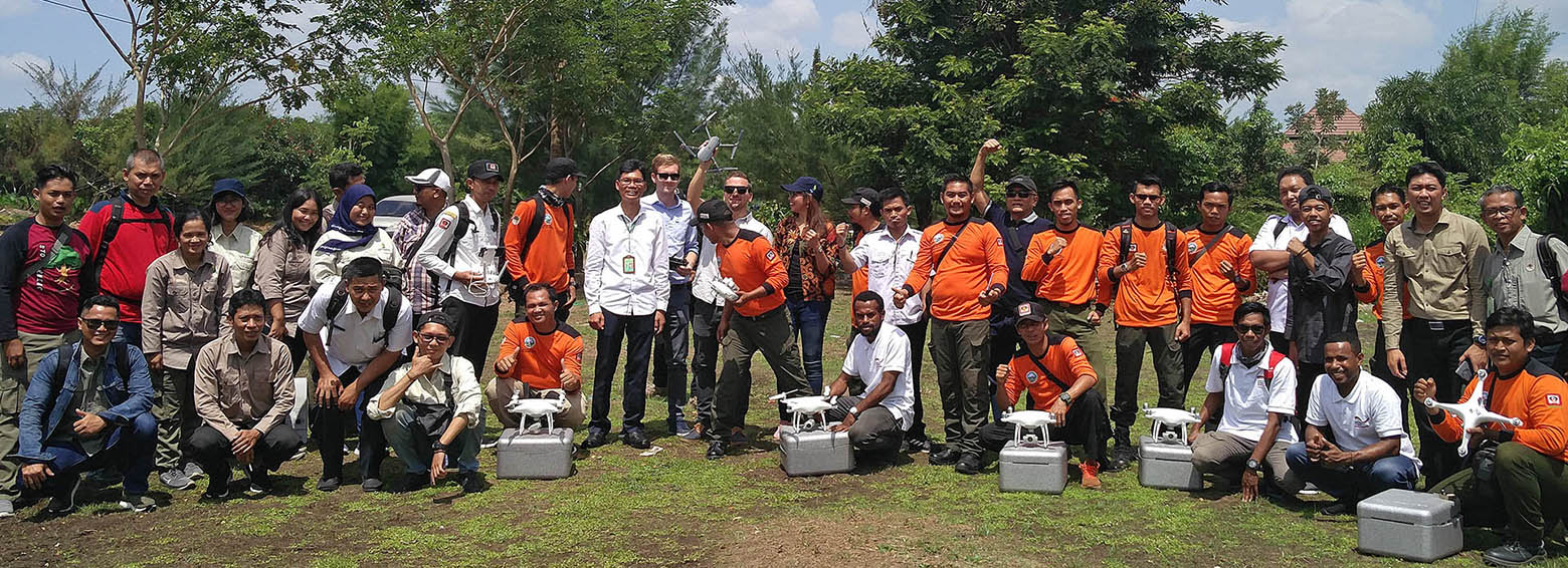
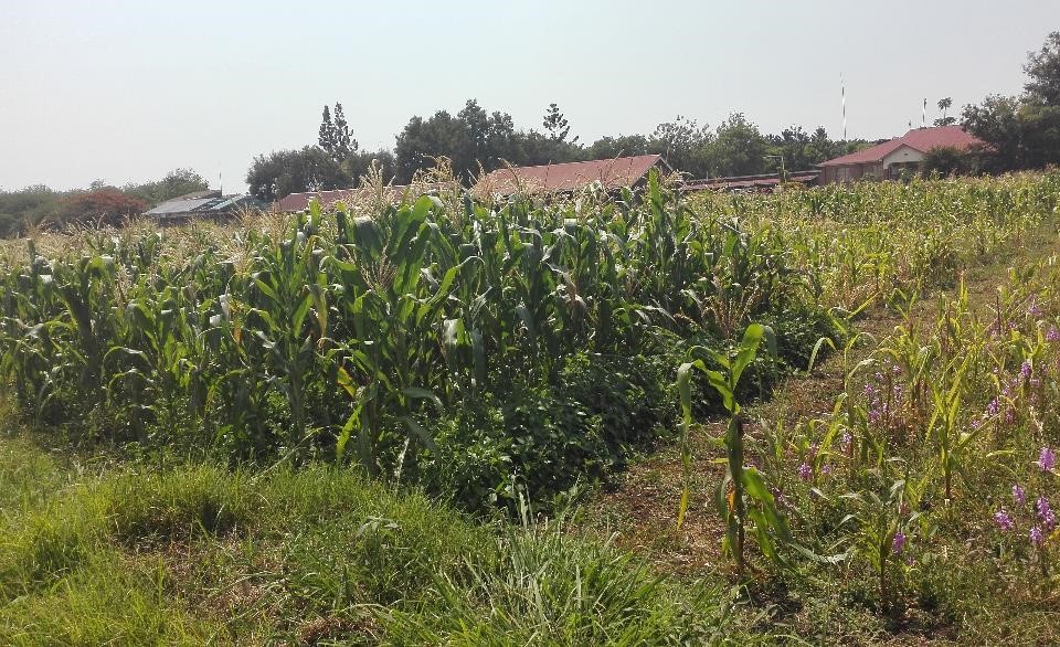
Within the framework of the GIZ's FORCLIME programme, RSS was recently hosting a week-long training on burned area detection using Sentinel-1 satellite data. Over 20 Indonesian officials from MoEF, LAPAN and provincial authorities explored how Sentinel-1 data could be used to complement Landsat-based burned area mapping in Indonesia.
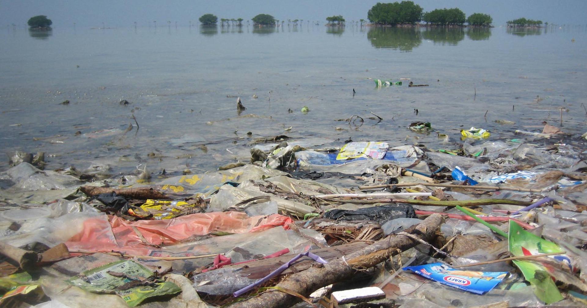
January 19, 2019
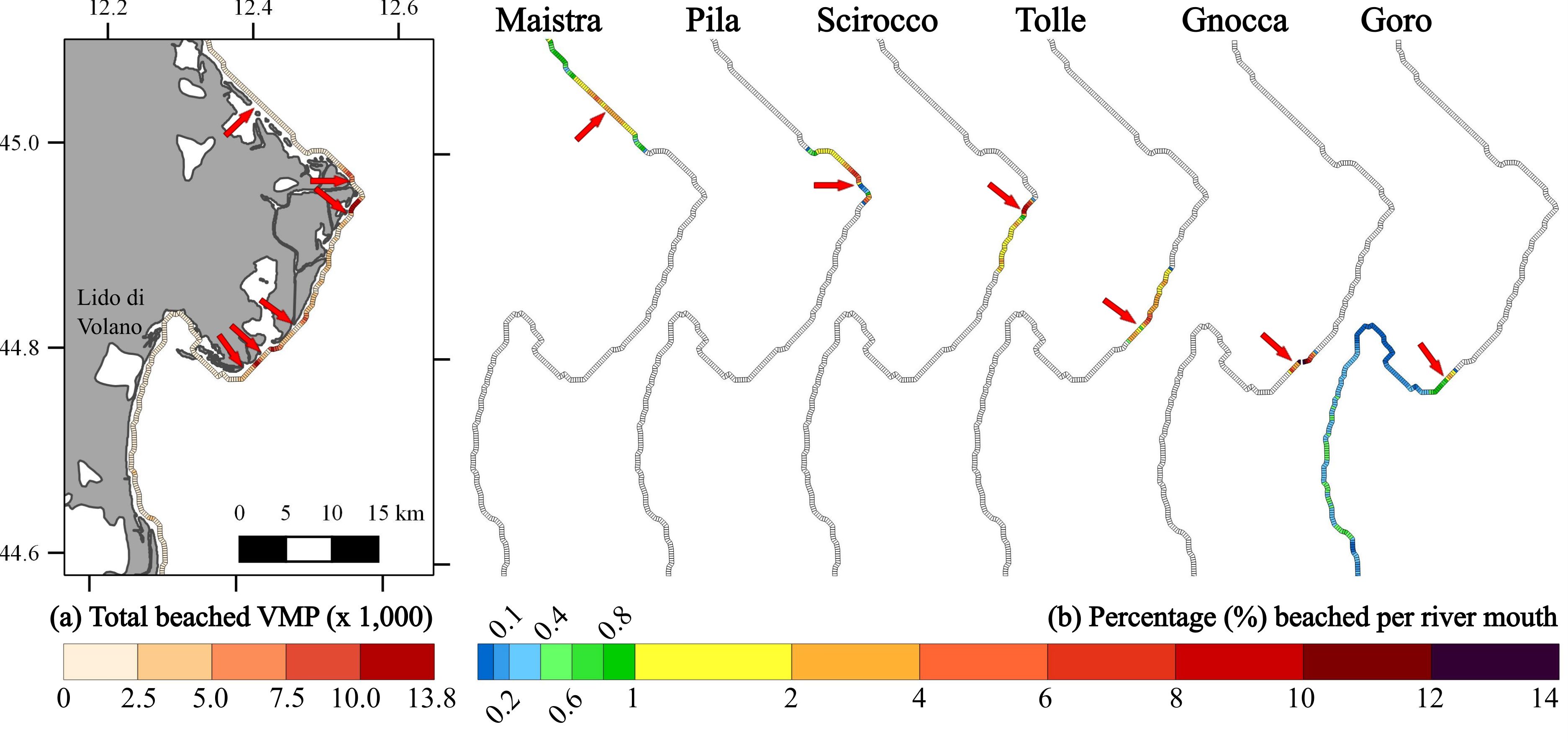
RSS together with research partners published a paper on the coastal accumulation of microplastic particles in the journal "Marine Pollution Bulletin"
December 12, 2018
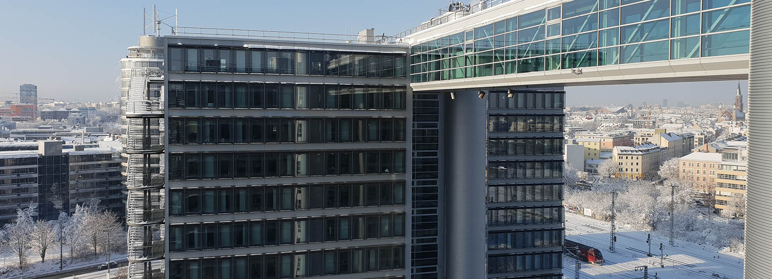
Last week, we were busy moving our offices from Baierbrunn to a new location high above the city of Munich.
November 30, 2018
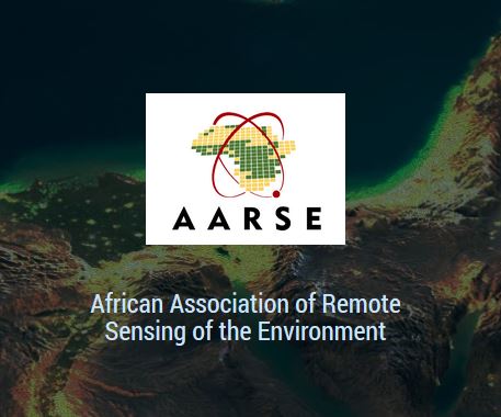
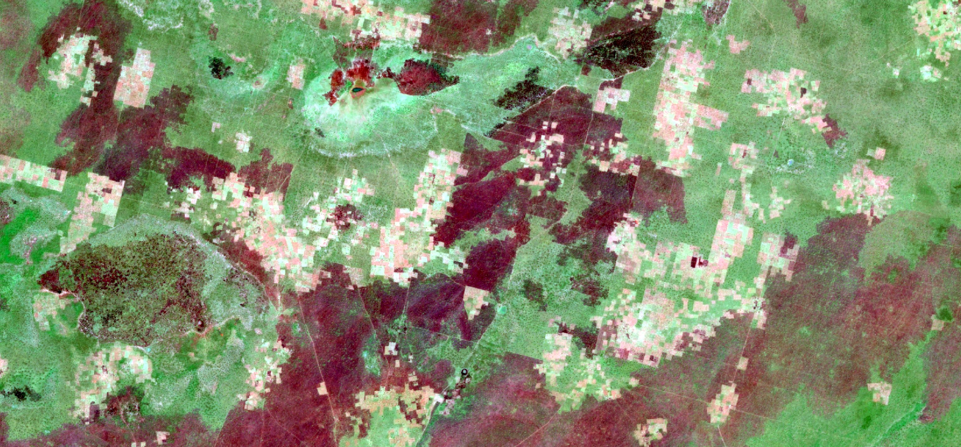
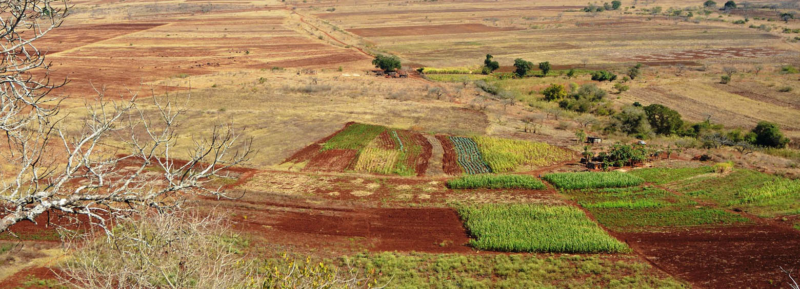
Last month, RSS and ICIPE collaborated on a paper researching how remote sensing vegetation variables predict the spatial distribution of pests (Trioza erytreae) in Kenya. The publication was presented at the African Association of Remote Sensing of The Environment (AARSE2018) conference this October and won the best paper prize.
November 26, 2018
The publication is a collection of success stories on how Copernicus data meets the concrete needs of regional policy making. The RSS contribution “How Copernicus supports the energy transition“ was selected and included as a success story. The launch of “The Ever Growing Use of Copernicus across Europe’s Regions” at the European Parliament was on November 22nd 2018.
October 19, 2018
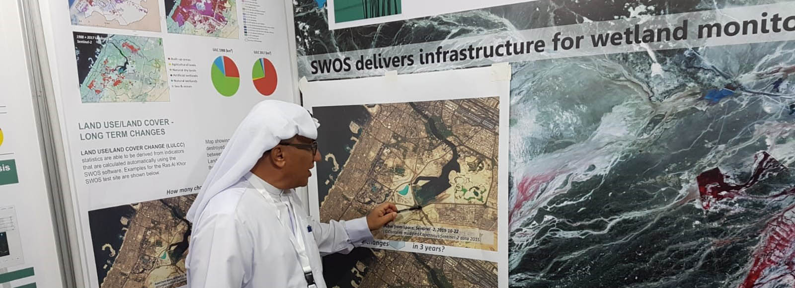
Meet RSS at the 13th Meeting of the Conference of the Contracting Parties to the Ramsar Convention on Wetlands (COP13) which will be held in Dubai, the United Arab Emirates, from 21 to 29 October 2018.
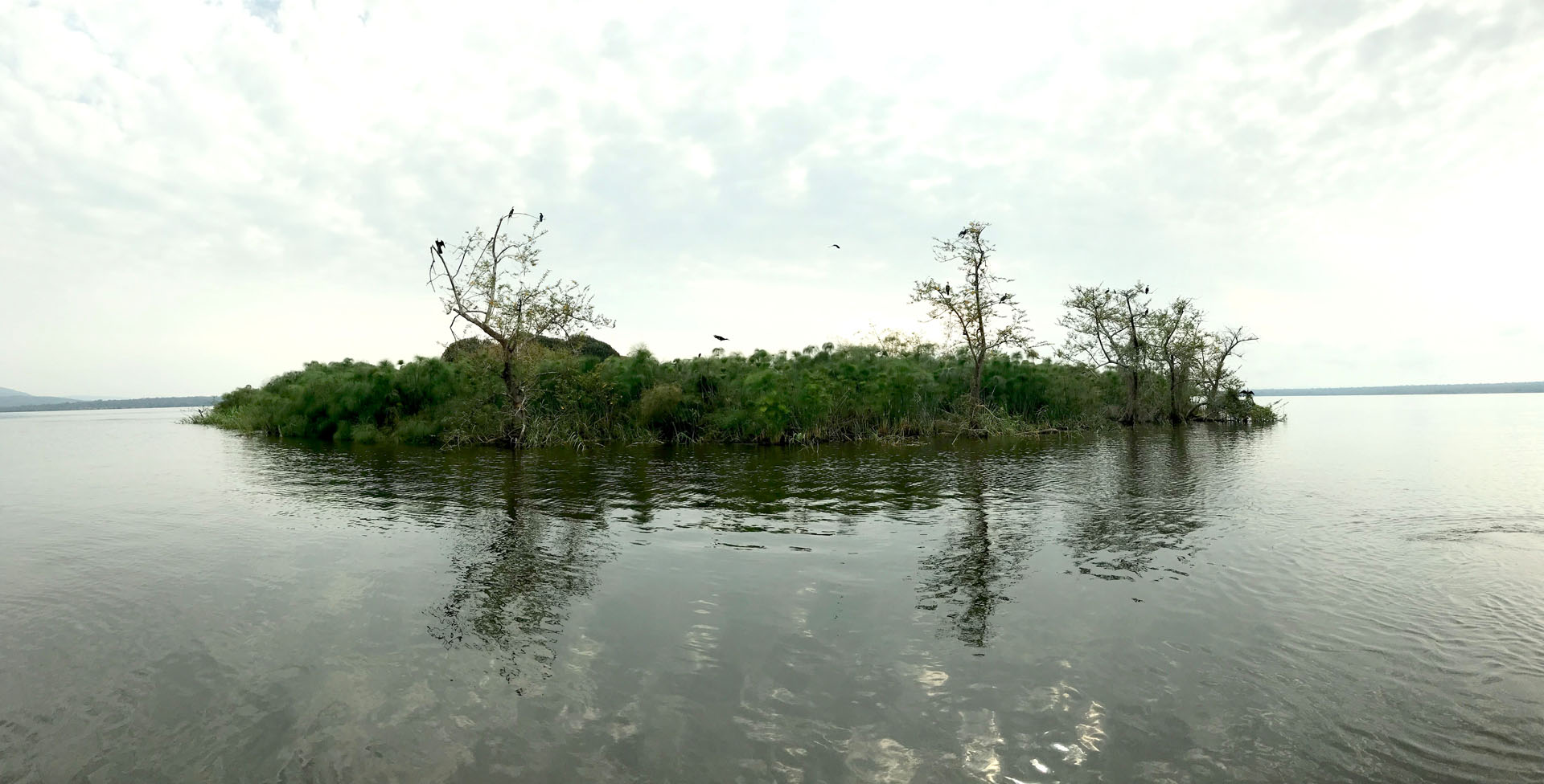
August 29, 2018
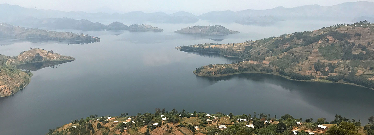
The DeMo-Wetlands team traveled to Rwanda this month, meeting with local stakeholders and exchanging the latest advances in geospatial products for wetlands. A field survey was additionally conducted for validating the products.